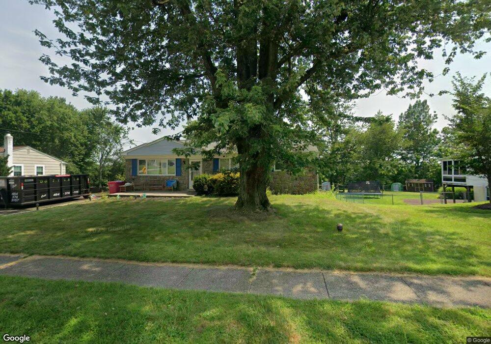
40 Brimfield Rd Norristown, PA 19403
Estimated Value: $416,000 - $468,000
3
Beds
2
Baths
1,232
Sq Ft
$362/Sq Ft
Est. Value
About This Home
This home is located at 40 Brimfield Rd, Norristown, PA 19403 and is currently estimated at $446,088, approximately $362 per square foot. 40 Brimfield Rd is a home located in Montgomery County with nearby schools including Woodland Elementary School, Skyview Upper Elementary School, and Arcola Intermediate School.
Ownership History
Date
Name
Owned For
Owner Type
Purchase Details
Closed on
Jul 14, 2020
Sold by
Lebegern William C
Bought by
Royer Gregory D and Royer Shae
Current Estimated Value
Home Financials for this Owner
Home Financials are based on the most recent Mortgage that was taken out on this home.
Original Mortgage
$247,500
Outstanding Balance
$219,055
Interest Rate
3%
Mortgage Type
New Conventional
Estimated Equity
$227,033
Purchase Details
Closed on
Aug 16, 1980
Bought by
Lebegern Richard C and Lebegern Rosemary L
Create a Home Valuation Report for This Property
The Home Valuation Report is an in-depth analysis detailing your home's value as well as a comparison with similar homes in the area
Home Values in the Area
Average Home Value in this Area
Purchase History
| Date | Buyer | Sale Price | Title Company |
|---|---|---|---|
| Royer Gregory D | $275,000 | Title Services | |
| Lebegern Richard C | $67,000 | -- |
Source: Public Records
Mortgage History
| Date | Status | Borrower | Loan Amount |
|---|---|---|---|
| Open | Royer Gregory D | $247,500 |
Source: Public Records
Tax History Compared to Growth
Tax History
| Year | Tax Paid | Tax Assessment Tax Assessment Total Assessment is a certain percentage of the fair market value that is determined by local assessors to be the total taxable value of land and additions on the property. | Land | Improvement |
|---|---|---|---|---|
| 2025 | $5,267 | $129,170 | $56,830 | $72,340 |
| 2024 | $5,267 | $129,170 | $56,830 | $72,340 |
| 2023 | $5,068 | $129,170 | $56,830 | $72,340 |
| 2022 | $4,930 | $129,170 | $56,830 | $72,340 |
| 2021 | $4,803 | $129,170 | $56,830 | $72,340 |
| 2020 | $4,691 | $129,170 | $56,830 | $72,340 |
| 2019 | $4,647 | $129,170 | $56,830 | $72,340 |
| 2018 | $4,648 | $129,170 | $56,830 | $72,340 |
| 2017 | $4,438 | $129,170 | $56,830 | $72,340 |
| 2016 | $4,387 | $129,170 | $56,830 | $72,340 |
| 2015 | $4,217 | $129,170 | $56,830 | $72,340 |
| 2014 | $4,217 | $129,170 | $56,830 | $72,340 |
Source: Public Records
Map
Nearby Homes
- 2044 Mill Rd
- 0 Roosevelt Blvd
- 300 Norris Hall Ln Unit 300
- 253 Stone Ridge Dr Unit 253
- 404 Truman Ct
- 2787 Woodland Ave
- 278 Stone Ridge Dr
- 2302 Grant Ct
- 2060 Yorktown S
- 35 Buckwalter Rd
- 1992 Keswick Way
- 18 Lawrence Rd
- LOT 24 Egypt Rd
- 1914 Yorktown S
- 24 Wayne Ave
- 3026 Highley Rd
- 636 Hillside Ave
- 32 Miami Rd
- 115 Sunnyside Ave
- 37 Burnside Ave
- 42 Brimfield Rd
- 38 Brimfield Rd
- 36 Brimfield Rd
- 39 Brimfield Rd
- 41 Brimfield Rd
- 37 Brimfield Rd
- 43 Brimfield Rd
- 34 Brimfield Rd
- 35 Brimfield Rd
- 2605 Egypt Rd
- 45 Brimfield Rd
- 2603 Egypt Rd
- 32 Brimfield Rd
- 427 S Trooper Rd
- 18 Sandown Rd
- 31 Brimfield Rd
- 14 Sandown Rd
- 425 S Trooper Rd
- 26 Sandown Rd
- 10 Sandown Rd