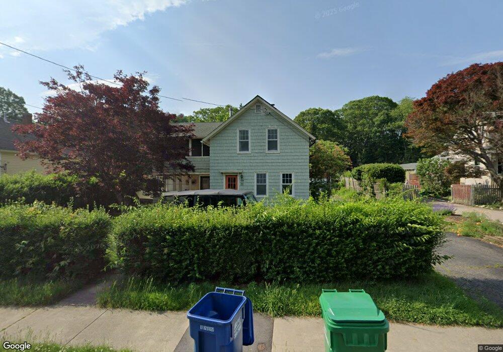
40 Broad Rock Rd Wakefield, RI 02879
Estimated Value: $546,910 - $676,000
3
Beds
2
Baths
1,782
Sq Ft
$343/Sq Ft
Est. Value
About This Home
This home is located at 40 Broad Rock Rd, Wakefield, RI 02879 and is currently estimated at $611,978, approximately $343 per square foot. 40 Broad Rock Rd is a home located in Washington County with nearby schools including South Kingstown High School, Monsignor Matthew Clarke Catholic Regional School, and Bradley School-South.
Ownership History
Date
Name
Owned For
Owner Type
Purchase Details
Closed on
Jan 6, 2009
Sold by
Taylor Eric M and Taylor Catherine O
Bought by
Casey Thomas R
Current Estimated Value
Home Financials for this Owner
Home Financials are based on the most recent Mortgage that was taken out on this home.
Original Mortgage
$245,160
Interest Rate
6.08%
Mortgage Type
VA
Create a Home Valuation Report for This Property
The Home Valuation Report is an in-depth analysis detailing your home's value as well as a comparison with similar homes in the area
Home Values in the Area
Average Home Value in this Area
Purchase History
| Date | Buyer | Sale Price | Title Company |
|---|---|---|---|
| Casey Thomas R | $240,000 | -- |
Source: Public Records
Mortgage History
| Date | Status | Borrower | Loan Amount |
|---|---|---|---|
| Open | Casey Thomas R | $229,450 | |
| Closed | Casey Thomas R | $245,160 |
Source: Public Records
Tax History
| Year | Tax Paid | Tax Assessment Tax Assessment Total Assessment is a certain percentage of the fair market value that is determined by local assessors to be the total taxable value of land and additions on the property. | Land | Improvement |
|---|---|---|---|---|
| 2025 | $3,707 | $414,600 | $176,200 | $238,400 |
| 2024 | $3,748 | $339,200 | $135,500 | $203,700 |
| 2023 | $3,748 | $339,200 | $135,500 | $203,700 |
| 2022 | $3,714 | $339,200 | $135,500 | $203,700 |
| 2021 | $3,907 | $270,400 | $117,800 | $152,600 |
| 2020 | $3,907 | $270,400 | $117,800 | $152,600 |
| 2019 | $3,907 | $270,400 | $117,800 | $152,600 |
| 2018 | $3,697 | $235,800 | $109,600 | $126,200 |
| 2017 | $3,610 | $235,800 | $109,600 | $126,200 |
| 2016 | $3,558 | $235,800 | $109,600 | $126,200 |
| 2015 | $3,590 | $231,300 | $107,200 | $124,100 |
| 2014 | $3,581 | $231,300 | $107,200 | $124,100 |
Source: Public Records
Map
Nearby Homes
- 15 Jessica Ln
- 131 Columbia St
- 301 Church St Unit 103
- 20 Cleveland St
- 37 Columbia St
- 45 Cherry Ln Unit C
- 48 Stone Bridge Dr
- 39 Hazard Ave
- 143 Summit Ave
- 57 Rocky Brook Way
- 35 Abbey Rd
- 66 Christopher St
- 23 Rockland Dr
- 13 Prospect Ave
- 260 Sweet Allen Farm Rd Unit 3
- 1808 Kingstown Rd
- 44 Vespia Ln
- 56 Vespia Ln
- 56 Wanda St
- 39 Secluded Dr
- 34 Broad Rock Rd
- 48 Broad Rock Rd
- 54 Broad Rock Rd
- 35 Broad Rock Rd
- 20 Broad Rock Rd
- 49 Broad Rock Rd
- 60 Broad Rock Rd
- 41 Broad Rock Rd
- 25 Broad Rock Rd
- 53 Broad Rock Rd
- 61 Broad Rock Rd
- 21 Broad Rock Rd
- 67 Broad Rock Rd
- 913 Kingstown Rd
- 28 Old Mountain Rd
- 917 Kingstown Rd
- 36 Old Mountain Rd
- 22 Old Mountain Rd
- 77 Broad Rock Rd
- 895 Kingstown Rd
Your Personal Tour Guide
Ask me questions while you tour the home.