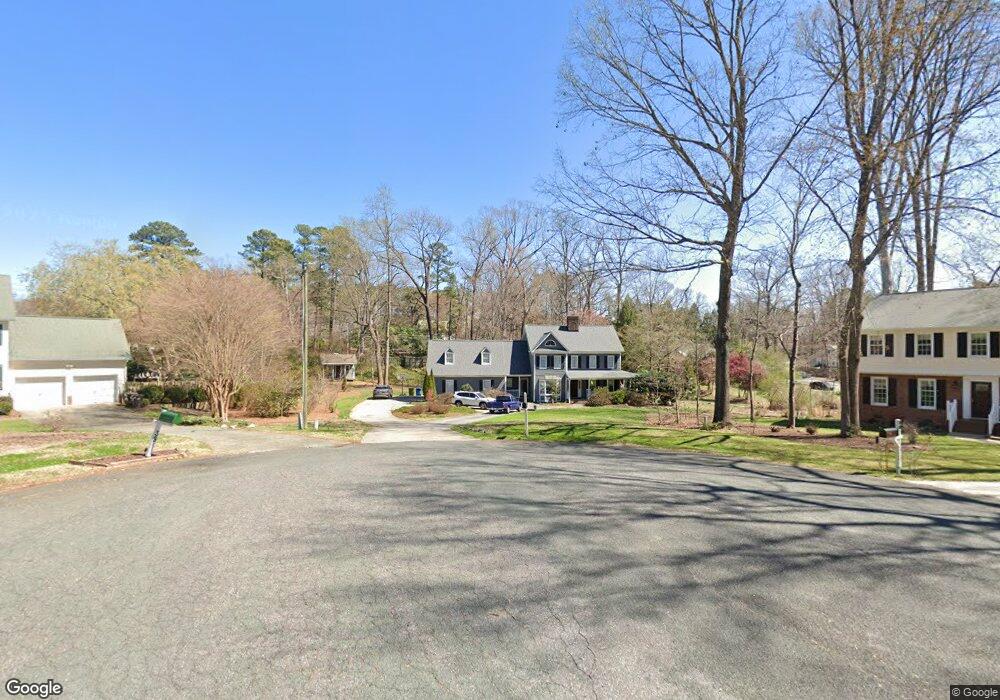
40 Chippers Way Durham, NC 27705
Croasdaile NeighborhoodEstimated Value: $697,000 - $884,000
3
Beds
4
Baths
3,516
Sq Ft
$217/Sq Ft
Est. Value
About This Home
This home is located at 40 Chippers Way, Durham, NC 27705 and is currently estimated at $761,494, approximately $216 per square foot. 40 Chippers Way is a home located in Durham County with nearby schools including Hillandale Elementary School, George L Carrington Middle, and Riverside High School.
Ownership History
Date
Name
Owned For
Owner Type
Purchase Details
Closed on
Aug 25, 2013
Sold by
Palombo Edward A and Palombo Lisa A
Bought by
Weaver Donna Jeams and Doughtry Sandra Lewis
Current Estimated Value
Home Financials for this Owner
Home Financials are based on the most recent Mortgage that was taken out on this home.
Original Mortgage
$356,250
Outstanding Balance
$266,684
Interest Rate
4.48%
Mortgage Type
New Conventional
Estimated Equity
$494,810
Create a Home Valuation Report for This Property
The Home Valuation Report is an in-depth analysis detailing your home's value as well as a comparison with similar homes in the area
Home Values in the Area
Average Home Value in this Area
Purchase History
| Date | Buyer | Sale Price | Title Company |
|---|---|---|---|
| Weaver Donna Jeams | $375,000 | None Available |
Source: Public Records
Mortgage History
| Date | Status | Borrower | Loan Amount |
|---|---|---|---|
| Open | Weaver Donna Jeams | $356,250 |
Source: Public Records
Tax History Compared to Growth
Tax History
| Year | Tax Paid | Tax Assessment Tax Assessment Total Assessment is a certain percentage of the fair market value that is determined by local assessors to be the total taxable value of land and additions on the property. | Land | Improvement |
|---|---|---|---|---|
| 2025 | $5,831 | $873,690 | $203,200 | $670,490 |
| 2024 | $5,831 | $418,020 | $92,340 | $325,680 |
| 2023 | $5,476 | $418,020 | $92,340 | $325,680 |
| 2022 | $5,350 | $418,020 | $92,340 | $325,680 |
| 2021 | $5,325 | $418,020 | $92,340 | $325,680 |
| 2020 | $5,200 | $418,020 | $92,340 | $325,680 |
| 2019 | $5,200 | $418,020 | $92,340 | $325,680 |
| 2018 | $5,393 | $397,586 | $76,950 | $320,636 |
| 2017 | $5,354 | $397,586 | $76,950 | $320,636 |
| 2016 | $5,173 | $397,586 | $76,950 | $320,636 |
| 2015 | $4,677 | $337,868 | $59,908 | $277,960 |
| 2014 | $4,677 | $337,868 | $59,908 | $277,960 |
Source: Public Records
Map
Nearby Homes
- 105 Hay Sedge Ct
- 1709 Faison Rd
- 3 Greenway Cir
- 2100 Skipping Stone Dr
- 2020 Skipping Stone Dr
- 1100 Balsawood Dr
- Collins Plan at Stonewood Estates - Legacy
- Fisher Plan at Stonewood Estates - Landmark
- Winston Plan at Stonewood Estates - Landmark
- Mitchell Plan at Stonewood Estates - Landmark
- Hatteras Plan at Stonewood Estates - Landmark
- Elizabeth Plan at Stonewood Estates - Legacy
- Alexander Plan at Stonewood Estates - Legacy
- Dillon Plan at Stonewood Estates - Legacy
- 30 Appleton Place
- 104 Cedar Ridge Way
- 3726 Foxwood Place
- 4219 Berini Dr
- 1011 Coldspring Cir
- 1001 Coldspring Cir
- 38 Chippers Way
- 39 Chippers Way
- 1515 Cole Mill Rd
- 1513 Cole Mill Rd
- 33 Chippers Way
- 1516 Cole Mill Rd
- 1518 Cole Mill Rd
- 1511 Cole Mill Rd
- 32 Chippers Way
- 109 Hay Sedge Ct
- 3801 Berini Dr
- 1703 Faison Rd
- 108 Hay Sedge Ct
- 3807 Berini Dr
- 1520 Cole Mill Rd
- 1507 Cole Mill Rd
- 25 Chippers Way
- 114 Fox Run Ct
- 116 Fox Run Ct
- 112 Fox Run Ct