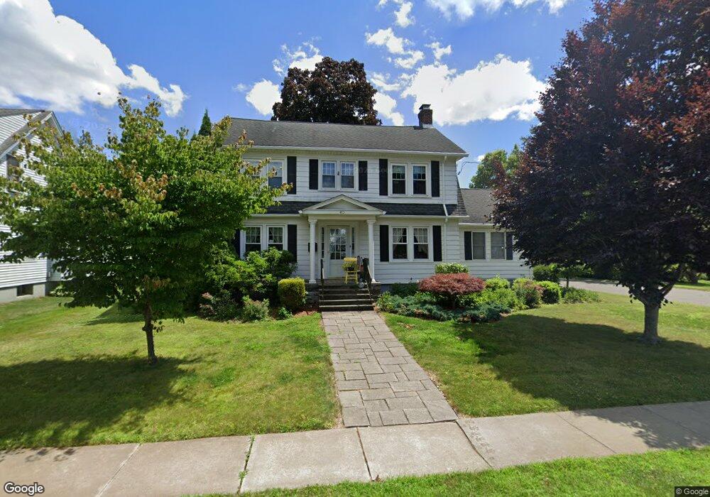
40 Clearfield Rd Wethersfield, CT 06109
Estimated Value: $433,000 - $510,000
3
Beds
2
Baths
2,264
Sq Ft
$209/Sq Ft
Est. Value
About This Home
This home is located at 40 Clearfield Rd, Wethersfield, CT 06109 and is currently estimated at $474,150, approximately $209 per square foot. 40 Clearfield Rd is a home located in Hartford County with nearby schools including Emerson-Williams School, Silas Deane Middle School, and Wethersfield High School.
Ownership History
Date
Name
Owned For
Owner Type
Purchase Details
Closed on
Jun 7, 2016
Sold by
Tonucci Nancy W
Bought by
Tonucci James J
Current Estimated Value
Purchase Details
Closed on
Nov 19, 2004
Sold by
Adams Michael C and Pryor Beth A
Bought by
Tonucci James J and Tonucci Nancy W
Purchase Details
Closed on
Dec 22, 1997
Sold by
Zerio John Pater and Zerio Roxanne R
Bought by
Adams Michael C
Create a Home Valuation Report for This Property
The Home Valuation Report is an in-depth analysis detailing your home's value as well as a comparison with similar homes in the area
Home Values in the Area
Average Home Value in this Area
Purchase History
| Date | Buyer | Sale Price | Title Company |
|---|---|---|---|
| Tonucci James J | -- | -- | |
| Tonucci James J | $317,500 | -- | |
| Adams Michael C | $185,000 | -- |
Source: Public Records
Mortgage History
| Date | Status | Borrower | Loan Amount |
|---|---|---|---|
| Previous Owner | Adams Michael C | $160,000 | |
| Previous Owner | Adams Michael C | $99,000 |
Source: Public Records
Tax History
| Year | Tax Paid | Tax Assessment Tax Assessment Total Assessment is a certain percentage of the fair market value that is determined by local assessors to be the total taxable value of land and additions on the property. | Land | Improvement |
|---|---|---|---|---|
| 2025 | $11,383 | $276,160 | $92,860 | $183,300 |
| 2024 | $8,374 | $193,760 | $73,500 | $120,260 |
| 2023 | $8,095 | $193,760 | $73,500 | $120,260 |
| 2022 | $7,960 | $193,760 | $73,500 | $120,260 |
| 2021 | $7,880 | $193,760 | $73,500 | $120,260 |
| 2020 | $7,884 | $193,760 | $73,500 | $120,260 |
| 2019 | $7,894 | $193,760 | $73,500 | $120,260 |
| 2018 | $7,846 | $192,400 | $70,300 | $122,100 |
| 2017 | $7,652 | $192,400 | $70,300 | $122,100 |
| 2016 | $7,415 | $192,400 | $70,300 | $122,100 |
| 2015 | $7,348 | $192,400 | $70,300 | $122,100 |
| 2014 | $7,069 | $192,400 | $70,300 | $122,100 |
Source: Public Records
Map
Nearby Homes
- 750 Wolcott Hill Rd
- 38 Wheeler Rd
- 146 Dudley Rd
- 250 Edward St
- 158 Dix Rd
- 89 Merriman Rd
- 108 Chamberlain Rd
- 131 Coleman Rd
- 99 Maple St
- 35 Stillwold Dr
- 31 Ox Yoke Dr
- 147 Spring St
- 519 Prospect St
- 764 Ridge Rd
- 42 Dunham St
- 11 Charter Rd
- 144 Brown St
- 55 Rutledge Rd
- 70 Mountain Laurel Dr Unit 70
- 0 Collier Rd
- 38 Clearfield Rd
- 30 Clearfield Rd
- 48 Clearfield Rd
- 255 Brimfield Rd
- 253 Brimfield Rd
- 24 Clearfield Rd
- 263 Brimfield Rd
- 41 Clearfield Rd
- 249 Brimfield Rd
- 35 Clearfield Rd
- 54 Clearfield Rd
- 49 Clearfield Rd
- 31 Clearfield Rd
- 245 Brimfield Rd
- 20 Clearfield Rd
- 267 Brimfield Rd
- 57 Clearfield Rd
- 27 Clearfield Rd
- 241 Brimfield Rd
- 60 Clearfield Rd
Your Personal Tour Guide
Ask me questions while you tour the home.