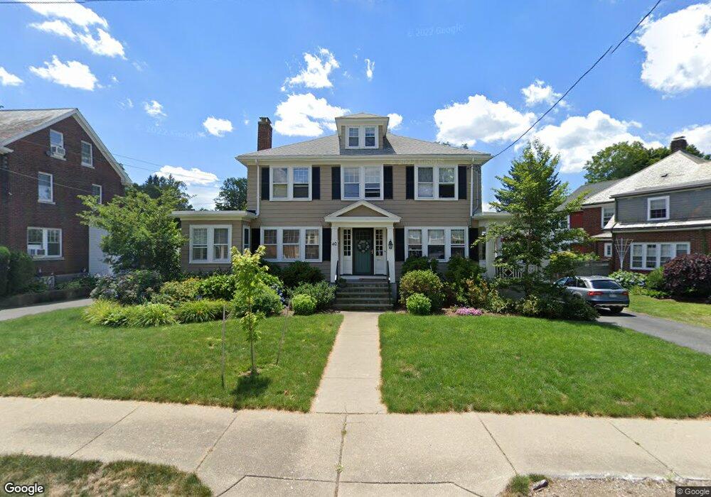
40 Converse Ave Newton, MA 02458
Newton Corner NeighborhoodEstimated Value: $2,149,616 - $2,609,000
5
Beds
4
Baths
3,112
Sq Ft
$756/Sq Ft
Est. Value
About This Home
This home is located at 40 Converse Ave, Newton, MA 02458 and is currently estimated at $2,351,904, approximately $755 per square foot. 40 Converse Ave is a home located in Middlesex County with nearby schools including Cabot Elementary School, F.A. Day Middle School, and Newton North High School.
Ownership History
Date
Name
Owned For
Owner Type
Purchase Details
Closed on
Jun 19, 2013
Sold by
Adams John M and Adams Lisa C
Bought by
Lisa C Adams Lt and Adams John M
Current Estimated Value
Purchase Details
Closed on
Jul 12, 2010
Sold by
Calamare Susan S and Calamare Andrew J
Bought by
Adams John Michael and Adams Lisa C
Home Financials for this Owner
Home Financials are based on the most recent Mortgage that was taken out on this home.
Original Mortgage
$937,500
Interest Rate
4.78%
Mortgage Type
Purchase Money Mortgage
Purchase Details
Closed on
Aug 16, 1994
Sold by
Wolfson Rt and Wolfson Crafton
Bought by
Calamare Susan S and Calamare Andrew J
Create a Home Valuation Report for This Property
The Home Valuation Report is an in-depth analysis detailing your home's value as well as a comparison with similar homes in the area
Home Values in the Area
Average Home Value in this Area
Purchase History
| Date | Buyer | Sale Price | Title Company |
|---|---|---|---|
| Lisa C Adams Lt | -- | -- | |
| Adams John Michael | $1,250,000 | -- | |
| Calamare Susan S | $415,000 | -- |
Source: Public Records
Mortgage History
| Date | Status | Borrower | Loan Amount |
|---|---|---|---|
| Previous Owner | Calamare Susan S | $296,300 | |
| Previous Owner | Calamare Susan S | $300,000 | |
| Previous Owner | Adams John Michael | $937,500 |
Source: Public Records
Tax History Compared to Growth
Tax History
| Year | Tax Paid | Tax Assessment Tax Assessment Total Assessment is a certain percentage of the fair market value that is determined by local assessors to be the total taxable value of land and additions on the property. | Land | Improvement |
|---|---|---|---|---|
| 2025 | $20,334 | $2,074,900 | $1,024,500 | $1,050,400 |
| 2024 | $19,662 | $2,014,500 | $994,700 | $1,019,800 |
| 2023 | $18,988 | $1,865,200 | $760,900 | $1,104,300 |
| 2022 | $18,168 | $1,727,000 | $704,500 | $1,022,500 |
| 2021 | $0 | $1,629,200 | $664,600 | $964,600 |
| 2020 | $17,009 | $1,629,200 | $664,600 | $964,600 |
| 2019 | $0 | $1,581,700 | $645,200 | $936,500 |
| 2018 | $0 | $1,492,300 | $583,000 | $909,300 |
| 2017 | $15,655 | $1,407,800 | $550,000 | $857,800 |
| 2016 | $14,973 | $1,315,700 | $514,000 | $801,700 |
| 2015 | $14,276 | $1,229,600 | $480,400 | $749,200 |
Source: Public Records
Map
Nearby Homes
- 655 Centre St
- 35 George St Unit 35
- 37 George St Unit 37
- 59 Hyde Ave
- 14 Princeton St
- 14 Princeton St Unit 14
- 22 Holland St Unit 22
- 14 Summit St
- 14 Summit St Unit 14-F
- 96 E Side Pkwy
- 327 Franklin St
- 206-208 Cabot St
- 21 Lewis St
- 8 Hollis St
- 230 Bellevue St Unit 1
- 232 Bellevue St Unit 2
- 95 Blake St
- 55 Bridges Ave
- 206 Franklin St
- 12 Richardson St Unit 14