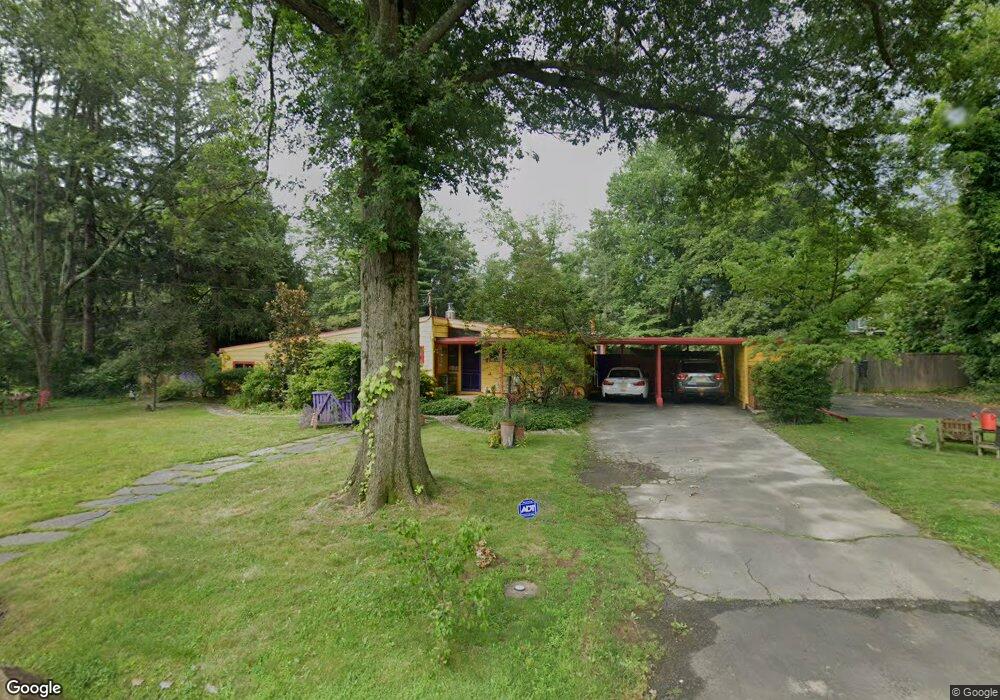
40 Deer Path Princeton, NJ 08540
Estimated Value: $1,003,000 - $1,173,730
4
Beds
1
Bath
1,602
Sq Ft
$695/Sq Ft
Est. Value
About This Home
This home is located at 40 Deer Path, Princeton, NJ 08540 and is currently estimated at $1,113,183, approximately $694 per square foot. 40 Deer Path is a home located in Mercer County with nearby schools including Littlebrook Elementary School, Princeton Middle School, and Princeton High School.
Ownership History
Date
Name
Owned For
Owner Type
Purchase Details
Closed on
Aug 10, 2001
Sold by
Carlson Rae
Bought by
Pughe Roberta
Current Estimated Value
Home Financials for this Owner
Home Financials are based on the most recent Mortgage that was taken out on this home.
Original Mortgage
$248,000
Outstanding Balance
$96,811
Interest Rate
7.16%
Estimated Equity
$1,016,372
Create a Home Valuation Report for This Property
The Home Valuation Report is an in-depth analysis detailing your home's value as well as a comparison with similar homes in the area
Home Values in the Area
Average Home Value in this Area
Purchase History
| Date | Buyer | Sale Price | Title Company |
|---|---|---|---|
| Pughe Roberta | $312,000 | -- |
Source: Public Records
Mortgage History
| Date | Status | Borrower | Loan Amount |
|---|---|---|---|
| Open | Pughe Roberta | $248,000 |
Source: Public Records
Tax History
| Year | Tax Paid | Tax Assessment Tax Assessment Total Assessment is a certain percentage of the fair market value that is determined by local assessors to be the total taxable value of land and additions on the property. | Land | Improvement |
|---|---|---|---|---|
| 2025 | $18,007 | $676,200 | $460,000 | $216,200 |
| 2024 | $17,000 | $676,200 | $460,000 | $216,200 |
Source: Public Records
Map
Nearby Homes
- 48 Roper Rd
- 7 Gordon Way
- 569 Riverside Dr
- 391 Nassau St Unit 2
- 1 Markham Rd Unit 1D
- 202 Linden Ln
- 32 Gulick Rd
- 35 Richard Ct
- 15 Chestnut St
- 57 Moran Ave
- 40 Dogwood Ln
- 177 Terhune Rd
- 33 Jefferson Rd
- 169 Jefferson Rd Unit 171
- 55 Wiggins St Unit 2
- 44 Park Place Unit 1
- 433 Walnut Ln
- 47 Hedge Row Rd
- 13 Hedge Row Rd
- 1 Empress Ct
Your Personal Tour Guide
Ask me questions while you tour the home.