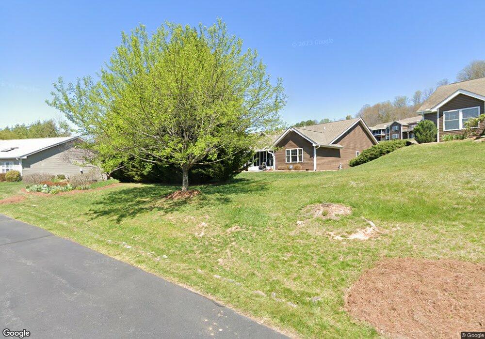
40 Denali Ln Waynesville, NC 28786
Estimated Value: $435,000 - $566,000
3
Beds
2
Baths
1,542
Sq Ft
$306/Sq Ft
Est. Value
About This Home
This home is located at 40 Denali Ln, Waynesville, NC 28786 and is currently estimated at $472,566, approximately $306 per square foot. 40 Denali Ln is a home located in Haywood County with nearby schools including Junaluska Elementary, Waynesville Middle, and Tuscola High.
Ownership History
Date
Name
Owned For
Owner Type
Purchase Details
Closed on
Jun 22, 2006
Sold by
Harrell & Associates Realtors Llc
Bought by
Griswold John F and Griswold Brenda S
Current Estimated Value
Home Financials for this Owner
Home Financials are based on the most recent Mortgage that was taken out on this home.
Original Mortgage
$233,000
Outstanding Balance
$126,630
Interest Rate
5.25%
Mortgage Type
New Conventional
Estimated Equity
$345,936
Create a Home Valuation Report for This Property
The Home Valuation Report is an in-depth analysis detailing your home's value as well as a comparison with similar homes in the area
Home Values in the Area
Average Home Value in this Area
Purchase History
| Date | Buyer | Sale Price | Title Company |
|---|---|---|---|
| Griswold John F | $260,000 | None Available |
Source: Public Records
Mortgage History
| Date | Status | Borrower | Loan Amount |
|---|---|---|---|
| Open | Griswold John F | $233,000 |
Source: Public Records
Tax History Compared to Growth
Tax History
| Year | Tax Paid | Tax Assessment Tax Assessment Total Assessment is a certain percentage of the fair market value that is determined by local assessors to be the total taxable value of land and additions on the property. | Land | Improvement |
|---|---|---|---|---|
| 2025 | -- | $281,700 | $25,000 | $256,700 |
| 2024 | $2,272 | $281,700 | $25,000 | $256,700 |
| 2023 | $2,159 | $281,700 | $25,000 | $256,700 |
| 2022 | $2,046 | $281,700 | $25,000 | $256,700 |
| 2021 | $2,046 | $281,700 | $25,000 | $256,700 |
| 2020 | $1,831 | $232,200 | $25,000 | $207,200 |
| 2019 | $1,836 | $232,200 | $25,000 | $207,200 |
| 2018 | $1,836 | $232,200 | $25,000 | $207,200 |
| 2017 | $1,836 | $232,200 | $0 | $0 |
| 2016 | $1,394 | $175,400 | $0 | $0 |
| 2015 | $1,394 | $175,400 | $0 | $0 |
| 2014 | $1,269 | $175,400 | $0 | $0 |
Source: Public Records
Map
Nearby Homes
- 31 Denali Ln
- 00 Liner Cove Rd Unit 2
- 00 Liner Cove Rd Unit 1
- 00 Aster Ridge Dr Unit 10
- 541 Paragon Pkwy
- 21 Gunter Dr
- 0000 Belmont Dr
- 00 Belmont Dr
- TBD Belmont Dr
- 99999 Belmont Dr
- 00 Leroy George Dr
- 1465 S Lakeshore Dr Unit D1
- 1465 S Lakeshore Dr Unit B2
- 181 Junaluska Oaks Dr
- 40 Panda Trail
- 29 Tillman Rd
- 38 Eden Ln
- 00 Bark Trail
- 0 Old Clyde Rd
- 35 Lee Rd
- 38 Denali Ln
- 38 Denali Ln
- 48 Denali Ln Unit 204 PHASE 2
- 48 Denali Ln Unit 204
- 30 Denali Ln
- 278 Castle Creek Dr
- 39 Denali Ln
- 35 Denali Ln Unit 502
- 55 Denali Ln
- 280 Castle Creek Dr Unit 902
- 18 Denali Ln
- 64 Denali Ln
- 27 Denali Ln
- 259 Castle Creek Dr
- 265 Castle Creek Dr
- 16 Denali Ln
- 269 Castle Creek Dr
- 277 Castle Creek Dr
- 286 Castle Creek Dr
- 9 Kenai Trail