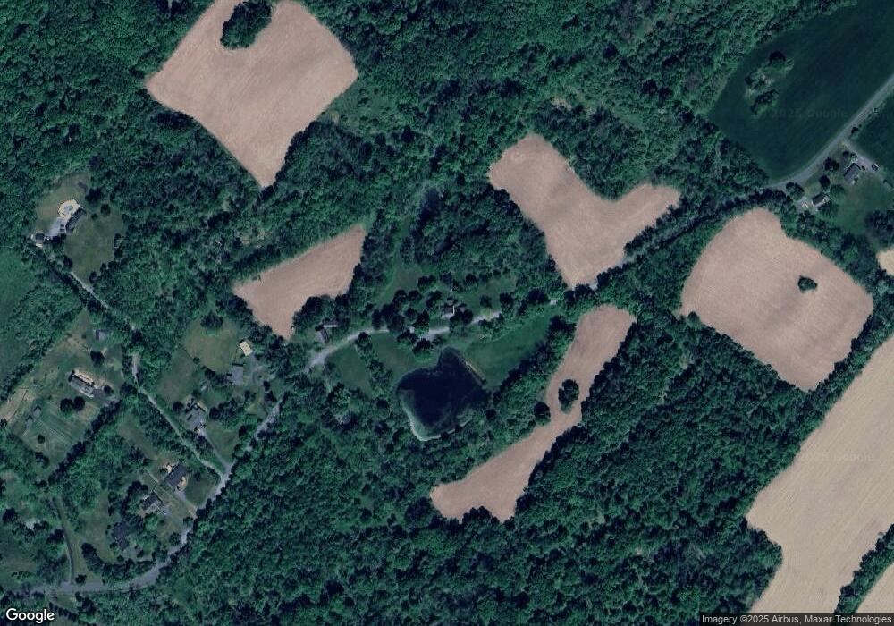
40 Dry Rd Blairstown, NJ 07825
Estimated Value: $579,593 - $883,000
3
Beds
3
Baths
3,497
Sq Ft
$202/Sq Ft
Est. Value
About This Home
This home is located at 40 Dry Rd, Blairstown, NJ 07825 and is currently estimated at $705,148, approximately $201 per square foot. 40 Dry Rd is a home located in Warren County with nearby schools including Blairstown Elementary School, North Warren Regional School, and Ridge & Valley Charter School.
Ownership History
Date
Name
Owned For
Owner Type
Purchase Details
Closed on
Sep 24, 2025
Sold by
Ardia Richard B
Bought by
Mastrogiovanni Tyler Drew
Current Estimated Value
Purchase Details
Closed on
Apr 19, 2018
Sold by
Ardia Richard B and Ardia Stephen V
Bought by
Ardia Richrd B
Purchase Details
Closed on
Mar 4, 2005
Sold by
Ardia Vincent H and Ardia Anita D
Bought by
Ardia Vincent H and Ardia Anita D
Purchase Details
Closed on
Dec 23, 1997
Sold by
Deblock Sidney S and Deblock Phebe
Bought by
Ardia Vincent and Ardia Anita
Create a Home Valuation Report for This Property
The Home Valuation Report is an in-depth analysis detailing your home's value as well as a comparison with similar homes in the area
Home Values in the Area
Average Home Value in this Area
Purchase History
| Date | Buyer | Sale Price | Title Company |
|---|---|---|---|
| Mastrogiovanni Tyler Drew | -- | None Listed On Document | |
| Ardia Richrd B | $575,000 | None Available | |
| Ardia Vincent H | -- | -- | |
| Ardia Vincent | $325,000 | -- |
Source: Public Records
Tax History Compared to Growth
Tax History
| Year | Tax Paid | Tax Assessment Tax Assessment Total Assessment is a certain percentage of the fair market value that is determined by local assessors to be the total taxable value of land and additions on the property. | Land | Improvement |
|---|---|---|---|---|
| 2025 | $10,627 | $342,700 | $115,400 | $227,300 |
| 2024 | $9,877 | $342,700 | $115,400 | $227,300 |
| 2023 | $9,674 | $342,700 | $115,400 | $227,300 |
| 2022 | $9,674 | $342,700 | $115,400 | $227,300 |
| 2021 | $8,777 | $342,700 | $115,400 | $227,300 |
| 2020 | $8,472 | $342,700 | $115,400 | $227,300 |
| 2019 | $7,882 | $342,700 | $115,400 | $227,300 |
| 2018 | $7,882 | $342,700 | $115,400 | $227,300 |
| 2017 | $7,910 | $342,700 | $115,400 | $227,300 |
| 2016 | $7,937 | $342,700 | $115,400 | $227,300 |
| 2015 | $7,800 | $342,700 | $115,400 | $227,300 |
| 2014 | $7,649 | $342,700 | $115,400 | $227,300 |
Source: Public Records
Map
Nearby Homes
- 46 Union Brick Rd
- 94 Hoagland Rd
- 77 Union Brick Rd
- 3 Hickory Ridge Dr
- 0 Cedar Lake Rd Unit 3936605
- 7 Gap View Dr
- 170 Hope Rd
- 40 Edge Hill Rd
- 18 Edge Hill Rd
- 76 Hope Rd
- 60 Vail Rd
- 194 New Jersey 94
- 115 Route94
- 17 Bear Cave Rd
- 20 Cobblewood Rd
- 349 High St
- 135 N Locust Lake Rd
- 5 Karen Dr
- 2 Frontage Rd
- 20 Polkville Rd
