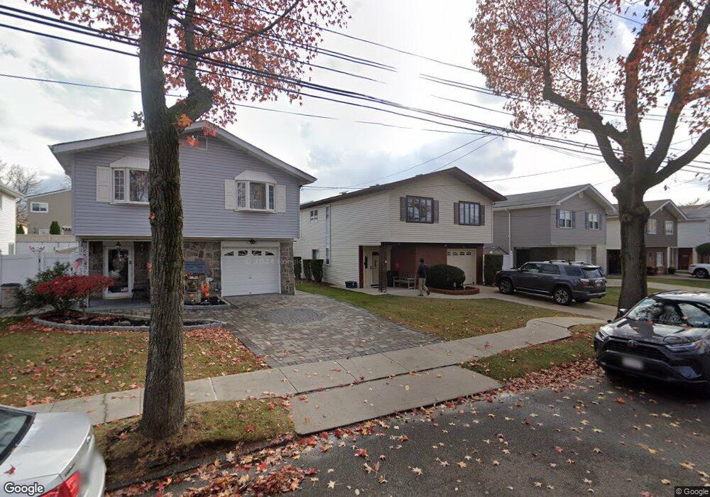
40 E Stroud Ave Staten Island, NY 10308
Great Kills NeighborhoodEstimated Value: $717,197 - $903,000
Studio
4
Baths
1,336
Sq Ft
$594/Sq Ft
Est. Value
About This Home
This home is located at 40 E Stroud Ave, Staten Island, NY 10308 and is currently estimated at $793,799, approximately $594 per square foot. 40 E Stroud Ave is a home located in Richmond County with nearby schools including P.S. 32 The Gifford School, Myra S. Barnes Intermediate School 24, and Susan E Wagner High School.
Ownership History
Date
Name
Owned For
Owner Type
Purchase Details
Closed on
Sep 19, 2018
Sold by
Mellone Patricia A and Patricia A Mellone Family Trus
Bought by
Irrevocable Chisefsky Doreen and Irrevocable Patricia A Mellone
Current Estimated Value
Purchase Details
Closed on
Apr 28, 1998
Sold by
Mellone Patricia A and Mellone Frank C
Bought by
The Patricia A Mellone Family Trust
Create a Home Valuation Report for This Property
The Home Valuation Report is an in-depth analysis detailing your home's value as well as a comparison with similar homes in the area
Home Values in the Area
Average Home Value in this Area
Purchase History
| Date | Buyer | Sale Price | Title Company |
|---|---|---|---|
| Irrevocable Chisefsky Doreen | -- | None Available | |
| The Patricia A Mellone Family Trust | -- | Washington Title Insurance C |
Source: Public Records
Tax History
| Year | Tax Paid | Tax Assessment Tax Assessment Total Assessment is a certain percentage of the fair market value that is determined by local assessors to be the total taxable value of land and additions on the property. | Land | Improvement |
|---|---|---|---|---|
| 2025 | $6,370 | $47,400 | $9,435 | $37,965 |
| 2024 | $6,474 | $41,760 | $10,103 | $31,657 |
| 2023 | $6,145 | $33,504 | $9,038 | $24,466 |
| 2022 | $5,651 | $42,240 | $11,880 | $30,360 |
| 2021 | $5,941 | $37,860 | $11,880 | $25,980 |
| 2020 | $5,981 | $40,620 | $11,880 | $28,740 |
| 2019 | $5,532 | $38,340 | $11,880 | $26,460 |
| 2018 | $5,032 | $27,920 | $9,198 | $18,722 |
| 2017 | $4,723 | $26,340 | $11,880 | $14,460 |
| 2016 | $5,357 | $29,906 | $11,475 | $18,431 |
| 2015 | $4,706 | $29,354 | $9,278 | $20,076 |
| 2014 | $4,706 | $27,693 | $9,383 | $18,310 |
Source: Public Records
Map
Nearby Homes
- 67 Genesee Ave
- 890 Armstrong Ave Unit 2-3
- 892 Armstrong Ave Unit 23
- 526 Leverett Ave
- 47 E Figurea Ave
- 538 Leverett Ave
- 287 Abingdon Ave
- 28 Fenway Cir Unit 2-2
- 147 Cortelyou Ave Unit 2-3
- 193 Brookfield Ave
- 309 Abingdon Ave
- 234 Brookfield Ave
- 360 Barlow Ave Unit 1
- 360 Barlow Ave Unit 40A
- 360 Barlow Ave Unit 29
- 360 Barlow Ave Unit 32
- 125 Cortelyou Ave Unit 2-2
- 254 Ridgewood Ave
- 307 Leverett Ave
- 969 Armstrong Ave
- 44 E Stroud Ave
- 36 E Stroud Ave
- 48 E Stroud Ave
- 32 E Stroud Ave
- 47 E Scranton Ave
- 41 E Scranton Ave
- 51 E Scranton Ave
- 37 E Scranton Ave
- 28 E Stroud Ave
- 52 E Stroud Ave
- 55 E Scranton Ave
- 33 E Scranton Ave
- 56 E Stroud Ave
- 41 E Stroud Ave
- 24 E Stroud Ave
- 45 E Stroud Ave
- 59 E Scranton Ave
- 49 E Stroud Ave
- 29 E Stroud Ave
- 29 E Scranton Ave
Your Personal Tour Guide
Ask me questions while you tour the home.