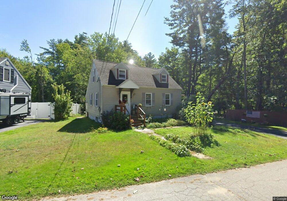
40 Eliot St South Portland, ME 04106
Sunset Park NeighborhoodEstimated Value: $463,000 - $565,000
3
Beds
1
Bath
995
Sq Ft
$503/Sq Ft
Est. Value
About This Home
This home is located at 40 Eliot St, South Portland, ME 04106 and is currently estimated at $500,068, approximately $502 per square foot. 40 Eliot St is a home located in Cumberland County with nearby schools including Waldo T. Skillin Elementary School, South Portland High School, and Greater Portland Christian School.
Ownership History
Date
Name
Owned For
Owner Type
Purchase Details
Closed on
Jul 23, 2018
Sold by
Pettengill Walter L
Bought by
Pettengill Walter L and Pettengill Lucie B
Current Estimated Value
Purchase Details
Closed on
Jan 9, 2006
Sold by
Pettengill Walter L
Bought by
Pettengill Walter L and Pettengill Sharon A
Home Financials for this Owner
Home Financials are based on the most recent Mortgage that was taken out on this home.
Original Mortgage
$190,000
Interest Rate
6.28%
Mortgage Type
Purchase Money Mortgage
Create a Home Valuation Report for This Property
The Home Valuation Report is an in-depth analysis detailing your home's value as well as a comparison with similar homes in the area
Home Values in the Area
Average Home Value in this Area
Purchase History
| Date | Buyer | Sale Price | Title Company |
|---|---|---|---|
| Pettengill Walter L | -- | -- | |
| Pettengill Walter L | -- | -- |
Source: Public Records
Mortgage History
| Date | Status | Borrower | Loan Amount |
|---|---|---|---|
| Closed | Pettengill Walter L | $190,000 |
Source: Public Records
Tax History Compared to Growth
Tax History
| Year | Tax Paid | Tax Assessment Tax Assessment Total Assessment is a certain percentage of the fair market value that is determined by local assessors to be the total taxable value of land and additions on the property. | Land | Improvement |
|---|---|---|---|---|
| 2024 | $4,711 | $356,900 | $156,200 | $200,700 |
| 2023 | $3,777 | $267,100 | $94,200 | $172,900 |
| 2022 | $3,618 | $232,500 | $75,400 | $157,100 |
| 2021 | $3,418 | $232,500 | $75,400 | $157,100 |
| 2020 | $3,259 | $165,000 | $68,500 | $96,500 |
| 2019 | $3,549 | $165,000 | $68,500 | $96,500 |
| 2018 | $3,360 | $165,000 | $68,500 | $96,500 |
| 2017 | $2,970 | $165,000 | $68,500 | $96,500 |
| 2016 | $3,099 | $165,000 | $68,500 | $96,500 |
| 2015 | $2,871 | $165,000 | $68,500 | $96,500 |
| 2014 | $2,548 | $165,000 | $68,500 | $96,500 |
| 2013 | -- | $165,000 | $68,500 | $96,500 |
Source: Public Records
Map
Nearby Homes
- 79 Massachusetts Ave
- 173 New York Ave Unit R
- 23 U S Route 1
- 6 Plover Way Unit 19
- 4 Plover Way Unit 18
- 1 Puffin Ln Unit 11
- 757 Main St Unit 18
- 757 Main St Unit 8
- 753 Main St
- 20 Noyes St
- 75 Landry Cir
- 164 Sandy Hill Rd
- 124 Westbrook St
- 125 Westbrook St
- 23 Aspen Ave
- 135 Keswick Rd
- 91 Coach Rd
- 12 Sequoia Ln
- 10 Leighton Farm Rd
- 8 Overlook Dr Unit 7
- 41 Eliot St
- 26 Eliot St
- 35 Eliot St
- 29 Eliot St
- 99 Berwick St Unit 12
- 99 Berwick St Unit 11
- 99 Berwick St Unit 10
- 99 Berwick St Unit 9
- 99 Berwick St Unit 8
- 99 Berwick St Unit 7
- 91 Berwick St
- 22 Eliot St
- 84 Berwick St
- 23 Eliot St
- 87 Berwick St
- 11 Eliot St
- 18 Eliot St
- 81 Berwick St
- 76 Boston St
- 72 Boston St