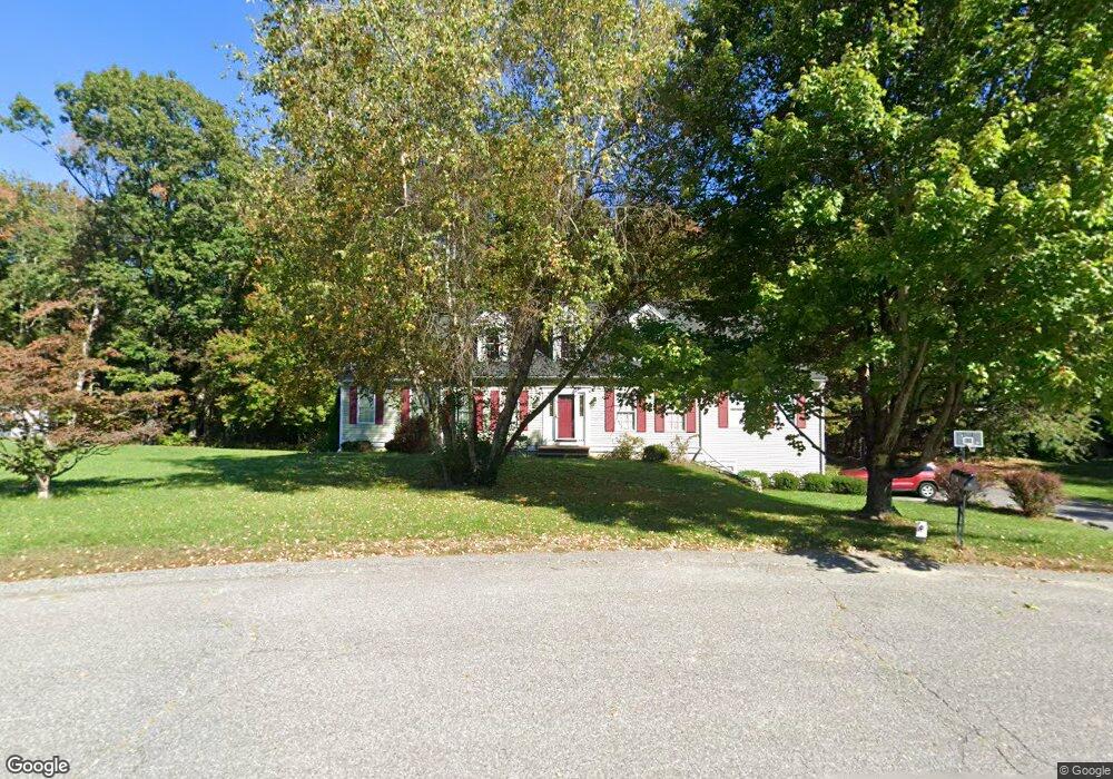
40 Farnsworth Way Lancaster, MA 01523
Estimated Value: $767,000 - $943,000
4
Beds
3
Baths
2,592
Sq Ft
$326/Sq Ft
Est. Value
About This Home
This home is located at 40 Farnsworth Way, Lancaster, MA 01523 and is currently estimated at $845,251, approximately $326 per square foot. 40 Farnsworth Way is a home located in Worcester County with nearby schools including Mary Rowlandson Elementary School, Luther Burbank Middle School, and Nashoba Regional High School.
Ownership History
Date
Name
Owned For
Owner Type
Purchase Details
Closed on
Apr 19, 2002
Sold by
Melanson Bros Inc
Bought by
Jackson Greg W and Jackson Carol R
Current Estimated Value
Home Financials for this Owner
Home Financials are based on the most recent Mortgage that was taken out on this home.
Original Mortgage
$259,900
Interest Rate
6.85%
Mortgage Type
Purchase Money Mortgage
Create a Home Valuation Report for This Property
The Home Valuation Report is an in-depth analysis detailing your home's value as well as a comparison with similar homes in the area
Home Values in the Area
Average Home Value in this Area
Purchase History
| Date | Buyer | Sale Price | Title Company |
|---|---|---|---|
| Jackson Greg W | $429,900 | -- |
Source: Public Records
Mortgage History
| Date | Status | Borrower | Loan Amount |
|---|---|---|---|
| Open | Jackson Greg W | $259,250 | |
| Closed | Jackson Greg W | $259,900 |
Source: Public Records
Tax History Compared to Growth
Tax History
| Year | Tax Paid | Tax Assessment Tax Assessment Total Assessment is a certain percentage of the fair market value that is determined by local assessors to be the total taxable value of land and additions on the property. | Land | Improvement |
|---|---|---|---|---|
| 2025 | $12,094 | $748,400 | $170,200 | $578,200 |
| 2024 | $12,496 | $715,700 | $170,200 | $545,500 |
| 2023 | $11,804 | $686,700 | $151,100 | $535,600 |
| 2022 | $10,853 | $558,000 | $148,400 | $409,600 |
| 2021 | $10,535 | $527,300 | $148,400 | $378,900 |
| 2020 | $10,159 | $511,800 | $148,400 | $363,400 |
| 2019 | $9,539 | $483,000 | $148,400 | $334,600 |
| 2018 | $9,075 | $454,200 | $148,400 | $305,800 |
| 2016 | $8,236 | $421,300 | $147,000 | $274,300 |
| 2015 | $7,778 | $414,600 | $147,000 | $267,600 |
| 2014 | $7,466 | $394,800 | $147,000 | $247,800 |
Source: Public Records
Map
Nearby Homes
- 374 Mill Street Extension
- 31 Garrison Grove
- 12 Woodruff Rd
- 1105 Ridgefield Cir Unit B
- 8 John F. Kennedy Ave
- 453 Blue Heron Dr Unit 51
- 516 Ridgefield Cir Unit C
- 200 Ridgefield Cir Unit C
- 59 Mount View Dr
- 6 Worcester St
- 51 Kilbourn Rd
- 92 Mill St
- 4 Worcester St
- 29 Bennett Ln
- 13 Colonial Dr
- 491 High St
- 986 Main St
- 85 Prescott St
- 119 Clark St
- 164 Sterling Rd
- 24 Farnsworth Way
- 9 Farnsworth Way
- 25 Farnsworth Way
- 8 Farnsworth Way
- 41 Farnsworth Way
- 224 Mill Street Extension
- 238 Mill Street Extension
- 210 Mill Street Extension
- 160 Settlers Path
- 254 Mill Street Extension
- 316 Mill Street Extension
- 328 Mill Street Extension
- 48 Settlers Path
- 64 Settlers Path
- 270 Mill Street Extension
- 195 Settlers Path
- 32 Settlers Path
- 190 Mill Street Extension
- 280 Mill Street Extension
- 80 Settlers Path