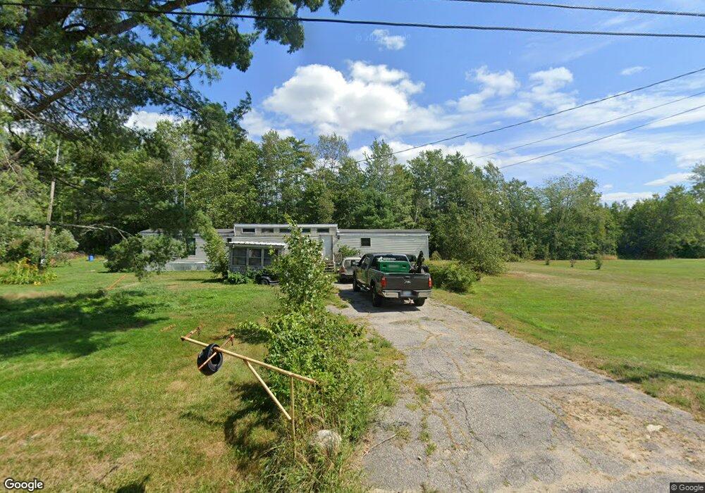
40 Fenderson Rd Parsonsfield, ME 04047
Estimated Value: $290,583 - $383,000
--
Bed
--
Bath
1,200
Sq Ft
$288/Sq Ft
Est. Value
About This Home
This home is located at 40 Fenderson Rd, Parsonsfield, ME 04047 and is currently estimated at $345,396, approximately $287 per square foot. 40 Fenderson Rd is a home with nearby schools including Ossipee Valley Christian School.
Create a Home Valuation Report for This Property
The Home Valuation Report is an in-depth analysis detailing your home's value as well as a comparison with similar homes in the area
Home Values in the Area
Average Home Value in this Area
Tax History Compared to Growth
Tax History
| Year | Tax Paid | Tax Assessment Tax Assessment Total Assessment is a certain percentage of the fair market value that is determined by local assessors to be the total taxable value of land and additions on the property. | Land | Improvement |
|---|---|---|---|---|
| 2024 | $3,034 | $180,620 | $67,000 | $113,620 |
| 2023 | $2,926 | $180,620 | $67,000 | $113,620 |
| 2022 | $2,800 | $180,620 | $67,000 | $113,620 |
| 2021 | $2,791 | $180,620 | $67,000 | $113,620 |
| 2020 | $2,736 | $180,620 | $67,000 | $113,620 |
| 2019 | $2,691 | $180,620 | $67,000 | $113,620 |
| 2017 | $2,691 | $180,620 | $67,000 | $113,620 |
| 2016 | $2,691 | $180,620 | $67,000 | $113,620 |
| 2015 | $2,709 | $180,620 | $67,000 | $113,620 |
| 2013 | $2,637 | $180,620 | $67,000 | $113,620 |
Source: Public Records
Map
Nearby Homes
- 178 Maplecrest Rd
- R13/038 Weeks Rd
- 27 Nocturne Rd
- 424 Maplecrest Rd
- 20 Hollyhock Farm Ln
- 80 Kelley Ln
- Lot #00 North Rd
- Lot# 01 North Rd
- Lot #02 North Rd
- 243 Sokokis Trail N
- 761 Pendexter Rd
- Lot #5 Jordan Heights Rd
- 11 Penny Ln
- 511 South Rd
- 71 Quarry Rd
- 24 Emery Corner Rd
- Lot 1 Moulton Hill Rd
- 148 Washington St Unit A
- 33 Maple St
- 36 Elm St
- 36 Fenderson Rd
- 92 Fenderson Rd
- 37 Fenderson Rd
- 41 Fenderson Rd
- 52 Fenderson Rd
- 62 Fenderson Rd
- 61 Fenderson Rd
- 66 Fenderson Rd
- 71 Fenderson Rd
- 6 Michaela's Way
- 6 Michaelas Way
- 34 Maplecrest Rd
- 80 Fenderson Rd
- 37 Maplecrest Rd
- 2345 Maplecrest Rd
- 3 Fenderson Rd
- 5 Fenderson Rd
- 4 Fenderson Rd
- 31 Maplecrest Rd
- 53 Maplecrest Rd