40 Flint Rd Concord, MA 01742
Estimated Value: $2,990,365 - $3,703,000
4
Beds
5
Baths
4,856
Sq Ft
$686/Sq Ft
Est. Value
About This Home
This home is located at 40 Flint Rd, Concord, MA 01742 and is currently estimated at $3,332,122, approximately $686 per square foot. 40 Flint Rd is a home located in Middlesex County with nearby schools including Alcott Elementary School, Concord Middle School, and Concord Carlisle High School.
Ownership History
Date
Name
Owned For
Owner Type
Purchase Details
Closed on
Sep 9, 1999
Sold by
Northwest Structures
Bought by
Pine Frank and Pine Deborah M
Current Estimated Value
Home Financials for this Owner
Home Financials are based on the most recent Mortgage that was taken out on this home.
Original Mortgage
$750,000
Outstanding Balance
$219,447
Interest Rate
7.65%
Mortgage Type
Purchase Money Mortgage
Estimated Equity
$3,112,675
Purchase Details
Closed on
Mar 20, 1997
Sold by
Kahan Ft and Bergman Stanley N
Bought by
Northwest Structures
Home Financials for this Owner
Home Financials are based on the most recent Mortgage that was taken out on this home.
Original Mortgage
$333,333
Interest Rate
7.68%
Mortgage Type
Purchase Money Mortgage
Create a Home Valuation Report for This Property
The Home Valuation Report is an in-depth analysis detailing your home's value as well as a comparison with similar homes in the area
Home Values in the Area
Average Home Value in this Area
Purchase History
| Date | Buyer | Sale Price | Title Company |
|---|---|---|---|
| Pine Frank | $1,260,609 | -- | |
| Northwest Structures | $333,333 | -- |
Source: Public Records
Mortgage History
| Date | Status | Borrower | Loan Amount |
|---|---|---|---|
| Open | Northwest Structures | $360,000 | |
| Open | Northwest Structures | $750,000 | |
| Previous Owner | Northwest Structures | $333,333 |
Source: Public Records
Tax History Compared to Growth
Tax History
| Year | Tax Paid | Tax Assessment Tax Assessment Total Assessment is a certain percentage of the fair market value that is determined by local assessors to be the total taxable value of land and additions on the property. | Land | Improvement |
|---|---|---|---|---|
| 2025 | $400 | $3,015,800 | $1,400,400 | $1,615,400 |
| 2024 | $43,475 | $3,311,100 | $1,400,400 | $1,910,700 |
| 2023 | $33,274 | $2,567,400 | $1,053,600 | $1,513,800 |
| 2022 | $32,995 | $2,235,400 | $854,200 | $1,381,200 |
| 2021 | $35,415 | $2,405,900 | $1,067,800 | $1,338,100 |
| 2020 | $35,875 | $2,521,100 | $1,128,800 | $1,392,300 |
| 2019 | $34,763 | $2,449,800 | $1,127,400 | $1,322,400 |
| 2018 | $34,040 | $2,382,100 | $1,077,200 | $1,304,900 |
| 2017 | $32,613 | $2,317,900 | $1,047,800 | $1,270,100 |
| 2016 | $34,192 | $2,456,300 | $1,161,200 | $1,295,100 |
| 2015 | $33,003 | $2,309,500 | $1,131,100 | $1,178,400 |
Source: Public Records
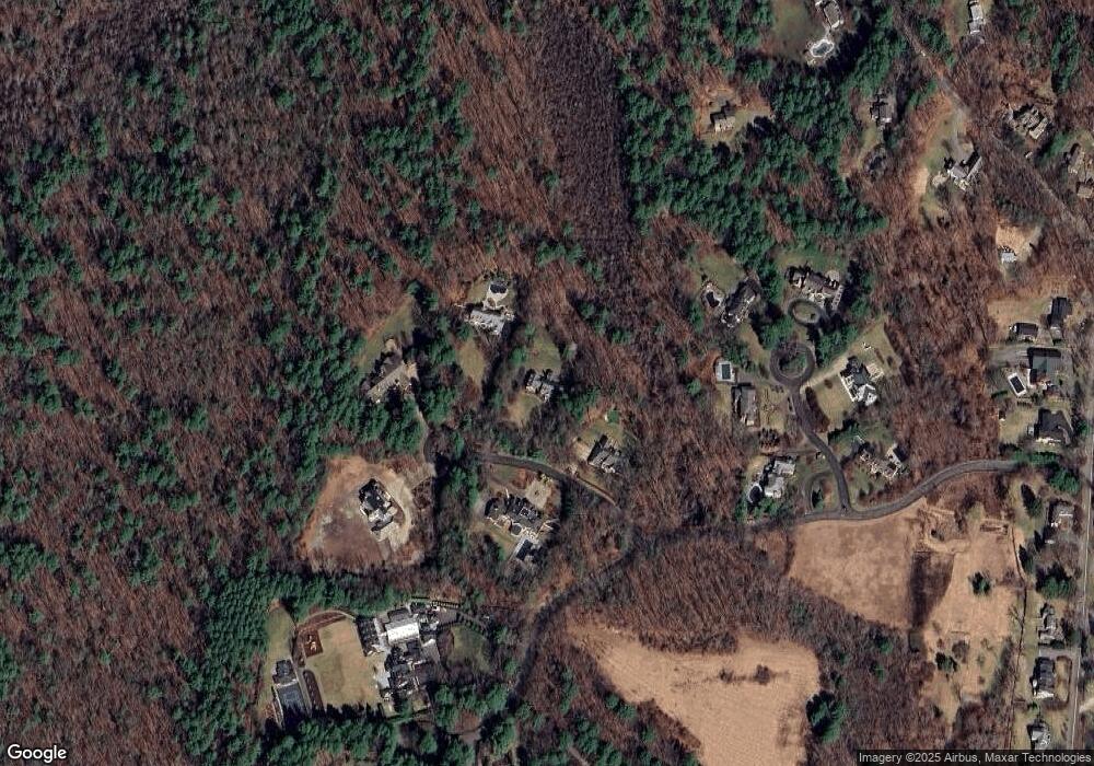
Map
Nearby Homes
- 20 Flint Rd
- 210 Monument Farm Rd
- 1437-3 Monument St
- 54 Nowell Farme Rd
- 232 Baldwin Rd
- 11 Kay's Walk
- 495 Hugh Cargill Rd
- 125 Maple St
- 5 Clark Rd
- 775 Monument St
- 1 Garrison Way Unit 1
- 267 Carlisle Rd
- 45 Winterberry Way
- 86 Butternut Cir
- 282 Brook St
- 25 Glenridge Dr
- 7 School St
- 7 Blue Heron Way
- 6 Parker Rd
- 5 Chestnut Ln Unit 120
- 62 Flint Rd
- 35 Flint Rd
- 64 Flint Rd
- 10 Flint Rd 10a
- 15 Monument Farm Rd #18
- 35 Jonas Brown Cir
- 71 Flint Rd
- 43 Jonas Brown Cir
- 84 Monument Farm Rd
- 84 Monument Farm Rd Unit 84
- 84 Monument Farm Rd Unit 1
- 86 Monument Farm Rd
- 48 Jonas Brown Cir
- 109 Prospect St
- 30 Jonas Brown Cir
- 8 Jonas Brown Cir
- 15 Monument Farm Rd
- 15B Monument Farm Rd
- 193 Monument Farm Rd
- 65 Prospect St