40 Fox Fire Ln Danville, PA 17821
Estimated Value: $343,958 - $441,000
4
Beds
3
Baths
1,881
Sq Ft
$205/Sq Ft
Est. Value
About This Home
This home is located at 40 Fox Fire Ln, Danville, PA 17821 and is currently estimated at $384,740, approximately $204 per square foot. 40 Fox Fire Ln is a home located in Montour County with nearby schools including Liberty-Valley Elementary School, Danville Primary School, and Danville Area Middle School.
Ownership History
Date
Name
Owned For
Owner Type
Purchase Details
Closed on
Mar 30, 2016
Sold by
Carlomano Karen Joyce and Matey Margaret O
Bought by
Burns James R and Burns Lindsey
Current Estimated Value
Home Financials for this Owner
Home Financials are based on the most recent Mortgage that was taken out on this home.
Original Mortgage
$220,500
Outstanding Balance
$175,001
Interest Rate
3.65%
Mortgage Type
New Conventional
Estimated Equity
$209,739
Create a Home Valuation Report for This Property
The Home Valuation Report is an in-depth analysis detailing your home's value as well as a comparison with similar homes in the area
Home Values in the Area
Average Home Value in this Area
Purchase History
| Date | Buyer | Sale Price | Title Company |
|---|---|---|---|
| Burns James R | $245,000 | None Available |
Source: Public Records
Mortgage History
| Date | Status | Borrower | Loan Amount |
|---|---|---|---|
| Open | Burns James R | $220,500 |
Source: Public Records
Tax History Compared to Growth
Tax History
| Year | Tax Paid | Tax Assessment Tax Assessment Total Assessment is a certain percentage of the fair market value that is determined by local assessors to be the total taxable value of land and additions on the property. | Land | Improvement |
|---|---|---|---|---|
| 2025 | $2,888 | $167,600 | $35,200 | $132,400 |
| 2024 | $2,791 | $167,600 | $35,200 | $132,400 |
| 2023 | $2,792 | $167,600 | $35,200 | $132,400 |
| 2022 | $2,708 | $167,600 | $35,200 | $132,400 |
| 2021 | $2,644 | $167,600 | $35,200 | $132,400 |
| 2020 | $2,620 | $167,600 | $35,200 | $132,400 |
| 2019 | $2,539 | $167,600 | $35,200 | $132,400 |
| 2018 | $2,475 | $167,600 | $35,200 | $132,400 |
| 2017 | $2,479 | $167,600 | $35,200 | $132,400 |
| 2016 | $2,465 | $167,600 | $35,200 | $132,400 |
| 2015 | $714 | $167,600 | $35,200 | $132,400 |
| 2014 | -- | $167,600 | $35,200 | $132,400 |
Source: Public Records
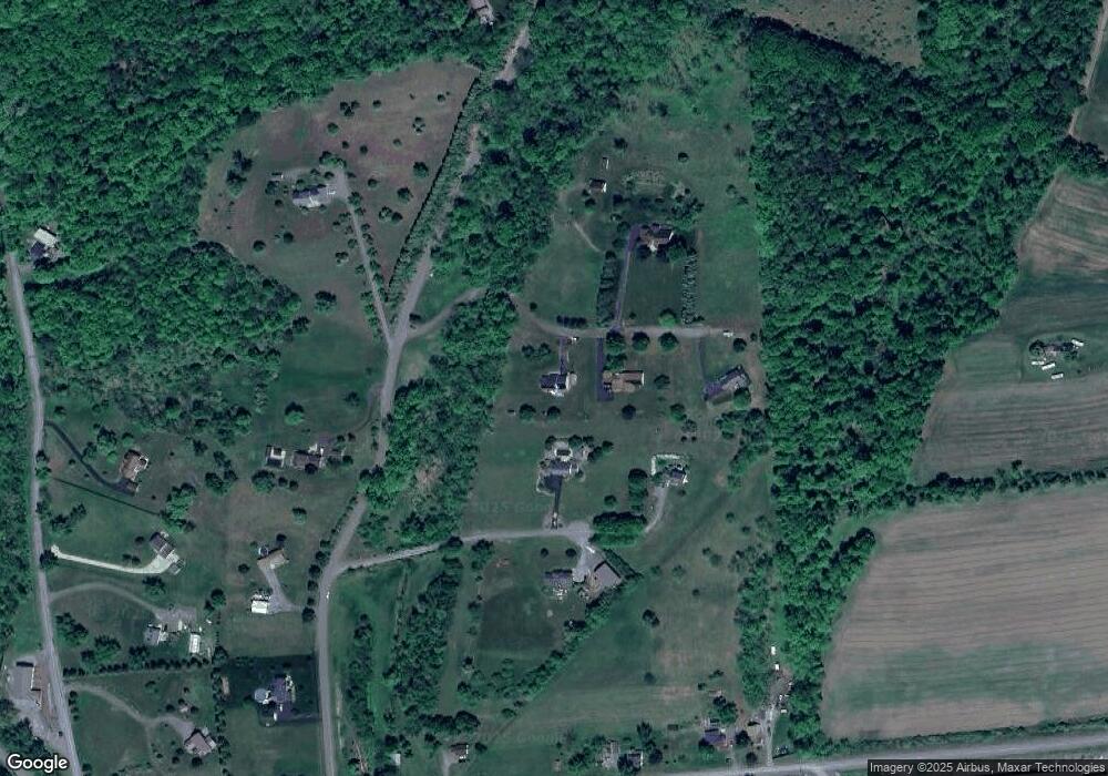
Map
Nearby Homes
- 22 Country Rd
- 239 Mccracken Rd
- 118 Jacobs Landing Way
- 77 Wagon Wheel Hill Rd
- 198 Liberty Valley Rd
- 12 Brookside Dr
- 9 Kristim Dr
- 26 Kristim Dr
- 18 Kristim Dr
- 0 Valley West Rd
- 78 Valley Green Dr
- 0 State Route 642 Jerseytown Rd Unit 20-101047
- 12 Leer Ln
- 0 Sugar Camp Rd Unit 20-87823
- 135 Woodhill Rd
- 25 Rhoades Hill Rd
- 0 Bald Top Rd
- 0 Klondike Rd Unit 20-100415
- 15 Ravenwood Dr
- 14 Apple Ln
- 26 Fox Fire Ln
- 10 Cameltown Hill Rd
- 30 Cameltown Hill Rd
- 52 Fox Fire Ln
- 20 Cameltown Hill Rd
- 25 Cameltown Hill Rd
- 135 Mccracken Rd
- 155 Mccracken Rd
- 165 Mccracken Rd
- 175 Mccracken Rd
- 65 Cameltown Hill Rd
- 23 Cameltown Hill Rd
- 4C Indian Run Rd
- 4B Indian Run Rd
- 75 Cameltown Hill Rd
- 4A Indian Run Rd
- 2 Indian Run Rd
- 5 Cameltown Hill Rd
- 10 Indian Run Rd
- 95 Cameltown Hill Rd