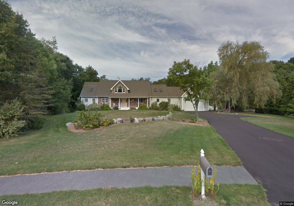
40 Francis Farm Rd Rehoboth, MA 02769
Estimated Value: $907,000 - $1,385,000
4
Beds
3
Baths
4,305
Sq Ft
$261/Sq Ft
Est. Value
About This Home
This home is located at 40 Francis Farm Rd, Rehoboth, MA 02769 and is currently estimated at $1,122,138, approximately $260 per square foot. 40 Francis Farm Rd is a home located in Bristol County with nearby schools including Dighton-Rehoboth Regional High School and Cedar Brook School.
Ownership History
Date
Name
Owned For
Owner Type
Purchase Details
Closed on
Feb 5, 2010
Sold by
Balestracci Brian M and Balestracci Melanie
Bought by
Cote Christopher A and Cote Sara R
Current Estimated Value
Home Financials for this Owner
Home Financials are based on the most recent Mortgage that was taken out on this home.
Original Mortgage
$417,000
Outstanding Balance
$276,260
Interest Rate
5.05%
Mortgage Type
Purchase Money Mortgage
Estimated Equity
$845,878
Purchase Details
Closed on
May 9, 2006
Sold by
Anne B Nichols Res T and Biedak Frank E
Bought by
Balestracci Brian M and Balestracci Melanie
Home Financials for this Owner
Home Financials are based on the most recent Mortgage that was taken out on this home.
Original Mortgage
$571,000
Interest Rate
6.34%
Mortgage Type
Purchase Money Mortgage
Create a Home Valuation Report for This Property
The Home Valuation Report is an in-depth analysis detailing your home's value as well as a comparison with similar homes in the area
Home Values in the Area
Average Home Value in this Area
Purchase History
| Date | Buyer | Sale Price | Title Company |
|---|---|---|---|
| Cote Christopher A | $610,000 | -- | |
| Balestracci Brian M | $371,000 | -- |
Source: Public Records
Mortgage History
| Date | Status | Borrower | Loan Amount |
|---|---|---|---|
| Open | Cote Christopher A | $417,000 | |
| Previous Owner | Balestracci Brian M | $571,000 |
Source: Public Records
Tax History Compared to Growth
Tax History
| Year | Tax Paid | Tax Assessment Tax Assessment Total Assessment is a certain percentage of the fair market value that is determined by local assessors to be the total taxable value of land and additions on the property. | Land | Improvement |
|---|---|---|---|---|
| 2025 | $118 | $1,061,400 | $174,000 | $887,400 |
| 2024 | $11,019 | $970,000 | $208,600 | $761,400 |
| 2023 | $9,296 | $953,600 | $204,200 | $749,400 |
| 2022 | $9,296 | $733,700 | $187,300 | $546,400 |
| 2021 | $9,750 | $736,400 | $170,700 | $565,700 |
| 2020 | $4,371 | $725,400 | $178,700 | $546,700 |
| 2018 | $7,637 | $638,000 | $170,200 | $467,800 |
| 2017 | $2,774 | $573,000 | $170,200 | $402,800 |
| 2016 | $6,819 | $561,200 | $177,800 | $383,400 |
| 2015 | $7,587 | $616,300 | $169,600 | $446,700 |
| 2014 | $7,159 | $575,500 | $161,300 | $414,200 |
Source: Public Records
Map
Nearby Homes
- 20 Taylor Dr
- 63 Moulton St
- 29 Moulton St
- 28 Bucklin Dr
- Lot 7 Muriel Way
- 225 Winthrop St
- 0 Winthrop St Unit 73180872
- 246 Winthrop St
- 180 Moulton St
- 134 Bay State Rd
- 8 Linden Ln
- 8 Linden Ln
- 0 Horton St Unit 73333337
- 133 Winthrop St
- 43 Williams St
- 2661 Horton St
- 111 Summer St
- 20 School St
- 24 New St
- 105 Winthrop St