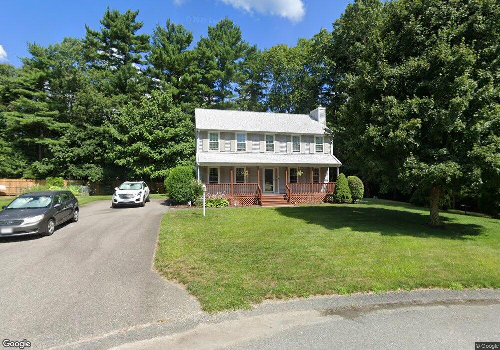
40 French Ave West Wareham, MA 02576
Estimated Value: $550,000 - $607,000
3
Beds
2
Baths
1,800
Sq Ft
$319/Sq Ft
Est. Value
About This Home
This home is located at 40 French Ave, West Wareham, MA 02576 and is currently estimated at $573,307, approximately $318 per square foot. 40 French Ave is a home located in Plymouth County.
Ownership History
Date
Name
Owned For
Owner Type
Purchase Details
Closed on
Sep 10, 2019
Sold by
Foley Elizabeth A and Foley Paul J
Bought by
40 French Ave Nt and Foley
Current Estimated Value
Purchase Details
Closed on
Oct 11, 2002
Sold by
Wanco Inc
Bought by
Foley Paul J and Foley Elizabeth A
Create a Home Valuation Report for This Property
The Home Valuation Report is an in-depth analysis detailing your home's value as well as a comparison with similar homes in the area
Home Values in the Area
Average Home Value in this Area
Purchase History
| Date | Buyer | Sale Price | Title Company |
|---|---|---|---|
| 40 French Ave Nt | -- | -- | |
| 40 French Ave Nt | -- | -- | |
| Foley Paul J | $259,000 | -- | |
| Foley Paul J | $259,000 | -- |
Source: Public Records
Mortgage History
| Date | Status | Borrower | Loan Amount |
|---|---|---|---|
| Previous Owner | Foley Paul J | $30,000 | |
| Previous Owner | Foley Paul J | $329,500 | |
| Previous Owner | Foley Paul J | $20,000 |
Source: Public Records
Tax History Compared to Growth
Tax History
| Year | Tax Paid | Tax Assessment Tax Assessment Total Assessment is a certain percentage of the fair market value that is determined by local assessors to be the total taxable value of land and additions on the property. | Land | Improvement |
|---|---|---|---|---|
| 2025 | $4,824 | $463,000 | $105,500 | $357,500 |
| 2024 | $4,895 | $435,900 | $84,300 | $351,600 |
| 2023 | $4,299 | $386,700 | $76,700 | $310,000 |
| 2022 | $4,299 | $326,200 | $76,700 | $249,500 |
| 2021 | $4,219 | $313,700 | $76,700 | $237,000 |
| 2020 | $3,940 | $297,100 | $76,700 | $220,400 |
| 2019 | $3,842 | $289,100 | $77,900 | $211,200 |
| 2018 | $3,900 | $286,100 | $77,900 | $208,200 |
| 2017 | $3,662 | $272,300 | $77,900 | $194,400 |
| 2016 | $3,312 | $244,800 | $77,900 | $166,900 |
| 2015 | $3,200 | $244,800 | $77,900 | $166,900 |
| 2014 | $3,067 | $238,700 | $74,000 | $164,700 |
Source: Public Records
Map
Nearby Homes
- 21 Windsor Dr
- 12 Taft St
- 26 Washington Dr
- 233 Marion Rd
- 6 A Rock Marsh Rd Unit A
- 6 A Rock Marsh Rd Unit A
- 5 Sola's Cir
- 929 Point Rd
- 0 Cromesett Rd (Off) Unit 73385395
- 291 County Rd
- 174 Wareham Rd
- 58 Shady Ln
- 19 Station St
- 119 County Rd
- 127 County Rd
- 4 Bachant Way
- 21 Weston Ave
- 4 Rebecca Dr
- 722 Main St
- 8 Weston Ave