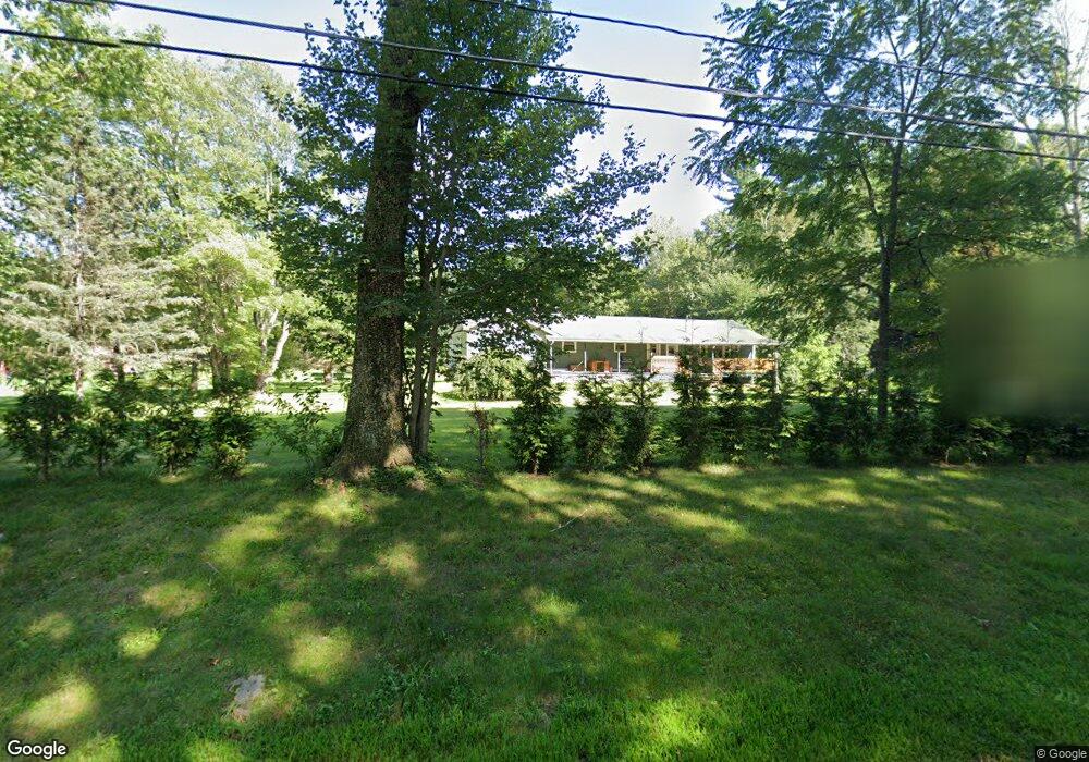
40 Gale Rd Charlton, MA 01507
Estimated Value: $463,000 - $576,000
5
Beds
2
Baths
2,508
Sq Ft
$211/Sq Ft
Est. Value
About This Home
This home is located at 40 Gale Rd, Charlton, MA 01507 and is currently estimated at $529,907, approximately $211 per square foot. 40 Gale Rd is a home located in Worcester County with nearby schools including Shepherd Hill Regional High School.
Ownership History
Date
Name
Owned For
Owner Type
Purchase Details
Closed on
Jan 22, 2026
Sold by
Codys Rt and Mckinstry
Bought by
Mckinstry Rt and Mckinstry
Current Estimated Value
Purchase Details
Closed on
Sep 17, 2022
Sold by
Mckinstry Mark G
Bought by
Codys Ft and Mckinstry
Purchase Details
Closed on
Mar 27, 2009
Sold by
Mckinstry Susan J Est and Moore
Bought by
Mckinstry Mark G
Home Financials for this Owner
Home Financials are based on the most recent Mortgage that was taken out on this home.
Original Mortgage
$100,000
Interest Rate
4.86%
Create a Home Valuation Report for This Property
The Home Valuation Report is an in-depth analysis detailing your home's value as well as a comparison with similar homes in the area
Home Values in the Area
Average Home Value in this Area
Purchase History
| Date | Buyer | Sale Price | Title Company |
|---|---|---|---|
| Mckinstry Rt | -- | -- | |
| Codys Ft | -- | None Available | |
| Codys Ft | -- | None Available | |
| Mckinstry Mark G | $60,000 | -- | |
| Mckinstry Mark G | $60,000 | -- |
Source: Public Records
Mortgage History
| Date | Status | Borrower | Loan Amount |
|---|---|---|---|
| Previous Owner | Mckinstry Mark G | $120,000 | |
| Previous Owner | Mckinstry Mark G | $100,000 | |
| Previous Owner | Mckinstry Mark G | $70,000 |
Source: Public Records
Tax History
| Year | Tax Paid | Tax Assessment Tax Assessment Total Assessment is a certain percentage of the fair market value that is determined by local assessors to be the total taxable value of land and additions on the property. | Land | Improvement |
|---|---|---|---|---|
| 2025 | $4,256 | $382,400 | $94,200 | $288,200 |
| 2024 | $4,113 | $362,700 | $94,000 | $268,700 |
| 2023 | $4,031 | $331,200 | $89,800 | $241,400 |
| 2022 | $3,800 | $285,900 | $81,600 | $204,300 |
| 2021 | $3,445 | $229,500 | $77,400 | $152,100 |
| 2020 | $3,384 | $226,500 | $74,400 | $152,100 |
| 2019 | $3,345 | $226,500 | $74,400 | $152,100 |
| 2018 | $3,058 | $226,500 | $74,400 | $152,100 |
| 2017 | $2,797 | $198,400 | $68,400 | $130,000 |
| 2016 | $2,734 | $198,400 | $68,400 | $130,000 |
| 2015 | $2,663 | $198,400 | $68,400 | $130,000 |
| 2014 | $2,578 | $203,600 | $71,000 | $132,600 |
Source: Public Records
Map
Nearby Homes
- 2 Melissa Ln
- 13 Dolge Ct
- 0 Old Southbridge Rd
- 58 Lelandville Rd
- L2 Partridge Hill Rd
- L3 Partridge Hill Rd
- 164 Oxford Rd
- 4 Toria Heights Rd
- 3 Lelandville Rd
- 2 Lelandville Rd
- 43 Larned Rd
- 8 Wamsutta Ridge Rd
- 2 Potter Village Rd
- 2 Bounty Rd
- 9 Howarth Rd
- 5 Maid Marion St
- 71 Charlton St
- 20-22 Bacon St
- 13 Harwood St
- L0T 3 History Dr
Your Personal Tour Guide
Ask me questions while you tour the home.