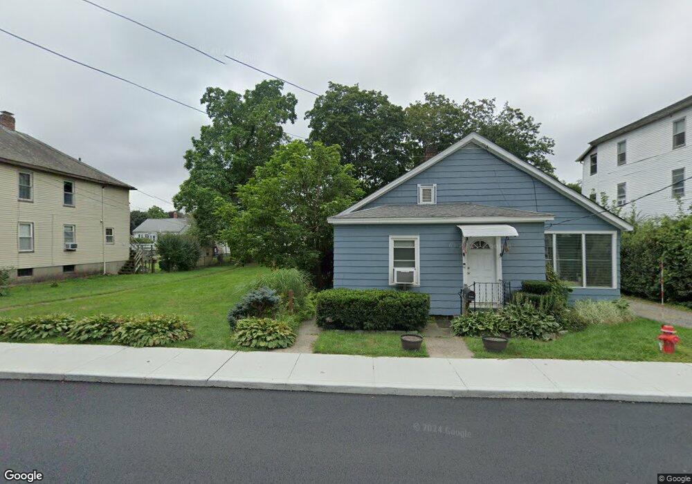
40 Granite St Uxbridge, MA 01569
Estimated Value: $385,000 - $475,000
3
Beds
2
Baths
1,537
Sq Ft
$289/Sq Ft
Est. Value
About This Home
This home is located at 40 Granite St, Uxbridge, MA 01569 and is currently estimated at $444,891, approximately $289 per square foot. 40 Granite St is a home located in Worcester County with nearby schools including Uxbridge High School, Our Lady of the Valley Regional School, and Whitinsville Christian School.
Ownership History
Date
Name
Owned For
Owner Type
Purchase Details
Closed on
Dec 22, 2021
Sold by
Menchin Albert E
Bought by
Gogan Matthew W
Current Estimated Value
Home Financials for this Owner
Home Financials are based on the most recent Mortgage that was taken out on this home.
Original Mortgage
$146,400
Outstanding Balance
$133,849
Interest Rate
2.98%
Mortgage Type
Purchase Money Mortgage
Estimated Equity
$311,042
Purchase Details
Closed on
Feb 9, 1989
Sold by
Menchin Albert
Bought by
Menchin Albert E
Home Financials for this Owner
Home Financials are based on the most recent Mortgage that was taken out on this home.
Original Mortgage
$32,000
Interest Rate
10.73%
Mortgage Type
Purchase Money Mortgage
Create a Home Valuation Report for This Property
The Home Valuation Report is an in-depth analysis detailing your home's value as well as a comparison with similar homes in the area
Home Values in the Area
Average Home Value in this Area
Purchase History
| Date | Buyer | Sale Price | Title Company |
|---|---|---|---|
| Gogan Matthew W | $183,000 | None Available | |
| Menchin Albert E | $50,000 | -- | |
| Menchin Albert E | $50,000 | -- |
Source: Public Records
Mortgage History
| Date | Status | Borrower | Loan Amount |
|---|---|---|---|
| Open | Gogan Matthew W | $146,400 | |
| Previous Owner | Menchin Albert E | $125,000 | |
| Previous Owner | Menchin Albert E | $32,000 |
Source: Public Records
Tax History Compared to Growth
Tax History
| Year | Tax Paid | Tax Assessment Tax Assessment Total Assessment is a certain percentage of the fair market value that is determined by local assessors to be the total taxable value of land and additions on the property. | Land | Improvement |
|---|---|---|---|---|
| 2025 | $45 | $344,600 | $132,700 | $211,900 |
| 2024 | $4,177 | $323,300 | $121,600 | $201,700 |
| 2023 | $4,020 | $288,200 | $110,500 | $177,700 |
| 2022 | $3,886 | $256,300 | $100,200 | $156,100 |
| 2021 | $3,885 | $245,600 | $95,800 | $149,800 |
| 2020 | $3,921 | $234,200 | $99,500 | $134,700 |
| 2019 | $3,803 | $219,200 | $92,100 | $127,100 |
| 2018 | $3,527 | $205,400 | $92,100 | $113,300 |
| 2017 | $3,380 | $199,300 | $86,000 | $113,300 |
| 2016 | $3,317 | $188,800 | $84,400 | $104,400 |
| 2015 | $3,247 | $186,600 | $84,400 | $102,200 |
Source: Public Records
Map
Nearby Homes
- 20 Nature View Dr Unit 20
- 24 Olde Canal Way Unit 24
- 72 Homeward Ave
- 48 Homeward Ave
- 3 Strathmore Shire Unit A
- 256 Mendon St
- 46 Pouts Ln Unit 46
- 307 N Main St
- 50 Carrington Ln
- 36 Elm St
- 371 Hartford Ave E
- 37 Elizabeth St
- 75 Lake St
- 24 Road Ahr
- 107 Henry St
- 129 Elm St Unit Lot 7
- 35 Highland Park Unit 35
- 14 Woodland Rd
- 44 Arthur Dr Unit 44
- 0 Louis St