40 H E Wilson Ln Seabrook, SC 29940
Estimated Value: $408,000
2
Beds
2
Baths
456
Sq Ft
$895/Sq Ft
Est. Value
About This Home
This home is located at 40 H E Wilson Ln, Seabrook, SC 29940 and is currently priced at $408,000, approximately $894 per square foot. 40 H E Wilson Ln is a home located in Beaufort County with nearby schools including Whale Branch Elementary School, Whale Branch Middle School, and Whale Branch Early College High School.
Ownership History
Date
Name
Owned For
Owner Type
Purchase Details
Closed on
Dec 4, 2024
Sold by
Brown Lucy S and Schleuger Louis F
Bought by
Schleuger Living Trust and Schleuger
Current Estimated Value
Purchase Details
Closed on
Jul 23, 2024
Sold by
Bean James D and Bean Julie M
Bought by
James Donald Bean Revocable Trust and Bean
Purchase Details
Closed on
Aug 20, 2004
Sold by
Broaderick Mary Alice
Bought by
Bean Julie M and Bean James D
Create a Home Valuation Report for This Property
The Home Valuation Report is an in-depth analysis detailing your home's value as well as a comparison with similar homes in the area
Home Values in the Area
Average Home Value in this Area
Purchase History
| Date | Buyer | Sale Price | Title Company |
|---|---|---|---|
| Schleuger Living Trust | -- | None Listed On Document | |
| James Donald Bean Revocable Trust | -- | None Listed On Document | |
| Bean Julie M | $69,000 | -- |
Source: Public Records
Tax History Compared to Growth
Tax History
| Year | Tax Paid | Tax Assessment Tax Assessment Total Assessment is a certain percentage of the fair market value that is determined by local assessors to be the total taxable value of land and additions on the property. | Land | Improvement |
|---|---|---|---|---|
| 2024 | $3,123 | $11,670 | $0 | $0 |
| 2023 | $3,123 | $11,670 | $0 | $0 |
| 2022 | $2,843 | $10,150 | $0 | $0 |
| 2021 | $977 | $3,590 | $0 | $0 |
| 2020 | $952 | $3,590 | $0 | $0 |
| 2019 | $939 | $3,590 | $0 | $0 |
| 2018 | $882 | $3,590 | $0 | $0 |
| 2017 | $802 | $3,120 | $0 | $0 |
| 2016 | $782 | $3,120 | $0 | $0 |
| 2014 | $661 | $3,120 | $0 | $0 |
Source: Public Records
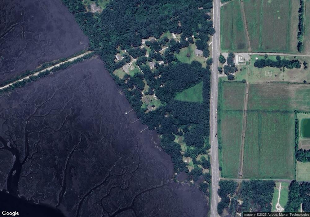
Map
Nearby Homes
- 10 N Huspah Ct
- 206 Marsh Point Dr
- 206 Marsh Point Dr
- 2074 Trask Pkwy
- 76 Priester Rd
- 20 Crystal St
- 59 Seabrook Center Rd
- 67 Seabrook Center Rd
- 55 Seabrook Center Rd
- 146 Stuart Point Rd
- 10 Shadow Ln
- 18 N Breeze Island
- 25 Unity Ln
- 18 N Breeze Island
- 26 Unity Ln
- 24 Unity Ln
- 22 Unity Ln
- 20 Unity Ln
- 246 Stuart Point Rd
- 38 H E Wilson Ln
- 41 H E Wilson Ln
- 32 H E Wilson Ln
- 23 H E Wilson Ln
- 19 H E Wilson Ln
- 1952 Trask Pkwy
- 1958 Trask Pkwy
- 28 H E Wilson Ln
- 22 H E Wilson Ln
- 18 H E Wilson Ln
- 1942 Trask Pkwy
- 1956 Trask Pkwy
- 1898 Trask Pkwy
- 21 Huspa Creek Dr
- 1965 Trask Pkwy
- 1890 Trask Pkwy
- 8 Morgan Rd
- 1887 Trask Pkwy
- 1884 Trask Pkwy
- 1880 Trask Pkwy