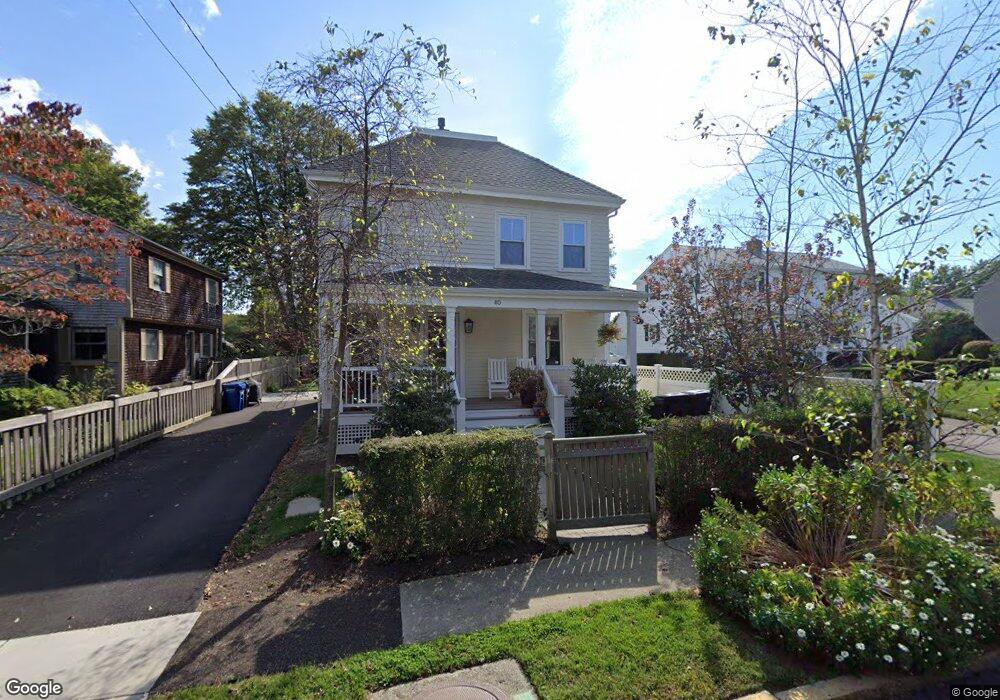
40 Harrison Ave Newport, RI 02840
Fifth Ward NeighborhoodEstimated Value: $958,000 - $1,237,573
3
Beds
2
Baths
1,548
Sq Ft
$713/Sq Ft
Est. Value
About This Home
This home is located at 40 Harrison Ave, Newport, RI 02840 and is currently estimated at $1,103,393, approximately $712 per square foot. 40 Harrison Ave is a home located in Newport County with nearby schools including Rogers High School, St Michael's Country Day School, and St George's School.
Ownership History
Date
Name
Owned For
Owner Type
Purchase Details
Closed on
Jan 14, 2005
Sold by
Ronayne Sylvia
Bought by
Parsons Andrew
Current Estimated Value
Home Financials for this Owner
Home Financials are based on the most recent Mortgage that was taken out on this home.
Original Mortgage
$340,000
Interest Rate
5.81%
Mortgage Type
Purchase Money Mortgage
Create a Home Valuation Report for This Property
The Home Valuation Report is an in-depth analysis detailing your home's value as well as a comparison with similar homes in the area
Home Values in the Area
Average Home Value in this Area
Purchase History
| Date | Buyer | Sale Price | Title Company |
|---|---|---|---|
| Parsons Andrew | $425,000 | -- |
Source: Public Records
Mortgage History
| Date | Status | Borrower | Loan Amount |
|---|---|---|---|
| Open | Parsons Andrew | $375,250 | |
| Closed | Parsons Andrew | $340,000 |
Source: Public Records
Tax History
| Year | Tax Paid | Tax Assessment Tax Assessment Total Assessment is a certain percentage of the fair market value that is determined by local assessors to be the total taxable value of land and additions on the property. | Land | Improvement |
|---|---|---|---|---|
| 2025 | $6,387 | $889,500 | $445,900 | $443,600 |
| 2024 | $6,200 | $889,500 | $445,900 | $443,600 |
| 2023 | $5,710 | $575,600 | $291,500 | $284,100 |
| 2022 | $5,532 | $575,600 | $291,500 | $284,100 |
| 2021 | $5,370 | $575,600 | $291,500 | $284,100 |
| 2020 | $4,502 | $437,900 | $230,800 | $207,100 |
| 2019 | $4,502 | $437,900 | $230,800 | $207,100 |
| 2018 | $4,375 | $437,900 | $230,800 | $207,100 |
| 2017 | $4,013 | $358,000 | $165,200 | $192,800 |
| 2016 | $3,874 | $354,400 | $165,200 | $189,200 |
| 2015 | $3,781 | $354,400 | $165,200 | $189,200 |
| 2014 | $3,883 | $322,000 | $140,400 | $181,600 |
Source: Public Records
Map
Nearby Homes
- 6 Price's Cove Ave
- 73 Old Fort Rd Unit 75
- 6 Sullivan St
- 75 Roseneath Ave
- 39 Connection St
- 46 Chastellux Ave Unit M6
- 57 Clinton St Unit 57C
- 59 Houston Ave
- 5 Meikle Ave
- 32 Houston Ave
- 2 Harbor View Dr
- 629 Thames St
- 128 Ruggles Ave
- 15 Narragansett Ave Unit 2
- 6 Sharon Ct
- 111 Harrison Ave Unit A6
- 11 Ocean Heights Rd
- 421 Bellevue Ave Unit 3B
- 8 Key Ct
- 401 Bellevue Ave Unit 112
- 38 Harrison Ave
- 38 Harrison Ave Unit 2
- 38 Harrison Ave Unit 1
- 42 1/2 Harrison Ave
- 36 Harrison Ave
- 42 Harrison Ave
- 11 Morgan St
- 34 Harrison Ave
- 34 Harrison Ave
- 34 Harrison Ave Unit 1
- 3 Morgan St
- 44 Harrison Ave
- 101 Roseneath Ave
- 39 Harrison Ave
- 19 Morgan St
- 32 Harrison Ave
- 43 Harrison Ave
- 37 Harrison Ave
- 4 Morgan St
- 6 Morgan St
Your Personal Tour Guide
Ask me questions while you tour the home.