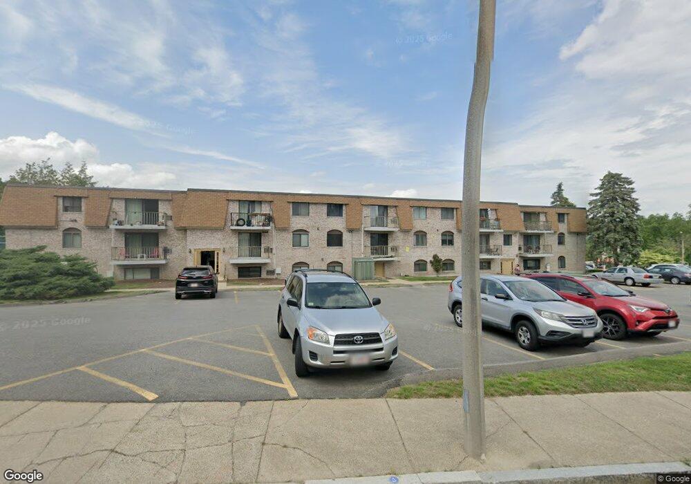
40 High St Unit 15 Dedham, MA 02026
Oakdale NeighborhoodEstimated Value: $468,868 - $572,000
1
Bed
2
Baths
1,329
Sq Ft
$382/Sq Ft
Est. Value
About This Home
This home is located at 40 High St Unit 15, Dedham, MA 02026 and is currently estimated at $507,967, approximately $382 per square foot. 40 High St Unit 15 is a home located in Norfolk County with nearby schools including Avery, Dedham Middle School, and Dedham High School.
Ownership History
Date
Name
Owned For
Owner Type
Purchase Details
Closed on
Jun 24, 2019
Sold by
Harp David E and Harp Shana M
Bought by
Mirville Milord and Moise Dorice
Current Estimated Value
Home Financials for this Owner
Home Financials are based on the most recent Mortgage that was taken out on this home.
Original Mortgage
$292,500
Outstanding Balance
$255,706
Interest Rate
3.82%
Mortgage Type
New Conventional
Estimated Equity
$252,261
Purchase Details
Closed on
Jun 16, 2017
Sold by
Mccarthy Dorothy A
Bought by
Harp David E and Haynes-Harp Shana M
Home Financials for this Owner
Home Financials are based on the most recent Mortgage that was taken out on this home.
Original Mortgage
$225,525
Interest Rate
4.02%
Mortgage Type
New Conventional
Purchase Details
Closed on
Nov 10, 2009
Sold by
Claus Helen M
Bought by
Mccarthy Dorothy A
Purchase Details
Closed on
Dec 29, 1993
Sold by
Mastaby George
Bought by
Mccarthy Dorothy A
Create a Home Valuation Report for This Property
The Home Valuation Report is an in-depth analysis detailing your home's value as well as a comparison with similar homes in the area
Home Values in the Area
Average Home Value in this Area
Purchase History
| Date | Buyer | Sale Price | Title Company |
|---|---|---|---|
| Mirville Milord | $325,000 | -- | |
| Harp David E | $232,500 | -- | |
| Mccarthy Dorothy A | -- | -- | |
| Mccarthy Dorothy A | $89,000 | -- |
Source: Public Records
Mortgage History
| Date | Status | Borrower | Loan Amount |
|---|---|---|---|
| Open | Mirville Milord | $292,500 | |
| Previous Owner | Harp David E | $225,525 |
Source: Public Records
Tax History Compared to Growth
Tax History
| Year | Tax Paid | Tax Assessment Tax Assessment Total Assessment is a certain percentage of the fair market value that is determined by local assessors to be the total taxable value of land and additions on the property. | Land | Improvement |
|---|---|---|---|---|
| 2025 | $5,257 | $416,600 | $0 | $416,600 |
| 2024 | $4,680 | $374,400 | $0 | $374,400 |
| 2023 | $4,468 | $348,000 | $0 | $348,000 |
| 2022 | $4,109 | $307,800 | $0 | $307,800 |
| 2021 | $4,113 | $300,900 | $0 | $300,900 |
| 2020 | $3,736 | $272,300 | $0 | $272,300 |
| 2019 | $3,290 | $232,500 | $0 | $232,500 |
| 2018 | $3,453 | $237,300 | $0 | $237,300 |
| 2017 | $3,352 | $227,100 | $0 | $227,100 |
| 2016 | $3,259 | $210,400 | $0 | $210,400 |
| 2015 | $3,120 | $196,600 | $0 | $196,600 |
| 2014 | $3,017 | $187,600 | $0 | $187,600 |
Source: Public Records
Map
Nearby Homes
- 40 Unit 207
- 108 High St
- 7 S Stone Mill Dr Unit 403
- 19 Lewis Ln
- 3 Lewis Farm Rd
- 83 Mount Hope St
- 38 Fleming St
- 56 Mount Vernon St
- 69 Berlin St
- 155 Mount Vernon St
- 167 Cedar St
- 6 Puritan Ln
- 94 Rockland St
- 42 Churchill Place
- 45 Dietz Rd
- 1905 River St Unit 1905
- 600 East St
- 38 Joan Rd
- 1896 River St
- 235 Curve St
- 40 High St Unit 207
- 40 High St Unit 27
- 40 High St Unit 26
- 40 High St Unit 25
- 40 High St Unit 24
- 40 High St Unit 23
- 40 High St Unit 22
- 40 High St Unit 21
- 40 High St Unit 20
- 40 High St Unit 19
- 40 High St Unit 18
- 40 High St Unit 17
- 40 High St Unit 16
- 40 High St Unit 14
- 40 High St Unit 305
- 40 High St Unit 17 A 206
- 40 High St Unit 105
- 40 High St Unit 106
- 40 High St Unit 206
- 40 High St Unit 309