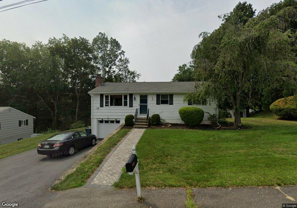
40 Highgate Rd Marlborough, MA 01752
Estimated Value: $457,562 - $545,000
2
Beds
2
Baths
1,040
Sq Ft
$494/Sq Ft
Est. Value
About This Home
This home is located at 40 Highgate Rd, Marlborough, MA 01752 and is currently estimated at $513,391, approximately $493 per square foot. 40 Highgate Rd is a home located in Middlesex County with nearby schools including Marlborough High School, New Covenant Christian School, and Glenhaven Academy - JRI School.
Ownership History
Date
Name
Owned For
Owner Type
Purchase Details
Closed on
Nov 21, 2018
Sold by
Scorzelli Joseph W and Scorzelli Joanne
Bought by
Henry Todd A
Current Estimated Value
Home Financials for this Owner
Home Financials are based on the most recent Mortgage that was taken out on this home.
Original Mortgage
$263,920
Outstanding Balance
$232,534
Interest Rate
4.9%
Mortgage Type
New Conventional
Estimated Equity
$280,857
Purchase Details
Closed on
Aug 20, 2008
Sold by
Scorzelli Joseph W
Bought by
Scorzelli Joanne and Scorzelli Joseph W
Create a Home Valuation Report for This Property
The Home Valuation Report is an in-depth analysis detailing your home's value as well as a comparison with similar homes in the area
Home Values in the Area
Average Home Value in this Area
Purchase History
| Date | Buyer | Sale Price | Title Company |
|---|---|---|---|
| Henry Todd A | $329,900 | -- | |
| Scorzelli Joanne | -- | -- |
Source: Public Records
Mortgage History
| Date | Status | Borrower | Loan Amount |
|---|---|---|---|
| Open | Henry Todd A | $263,920 |
Source: Public Records
Tax History
| Year | Tax Paid | Tax Assessment Tax Assessment Total Assessment is a certain percentage of the fair market value that is determined by local assessors to be the total taxable value of land and additions on the property. | Land | Improvement |
|---|---|---|---|---|
| 2025 | $4,277 | $433,800 | $231,200 | $202,600 |
| 2024 | $4,374 | $427,100 | $210,100 | $217,000 |
| 2023 | $4,256 | $368,800 | $168,900 | $199,900 |
| 2022 | $4,194 | $319,700 | $160,900 | $158,800 |
| 2021 | $4,242 | $307,400 | $134,000 | $173,400 |
| 2020 | $4,199 | $296,100 | $127,600 | $168,500 |
| 2019 | $4,113 | $292,300 | $125,100 | $167,200 |
| 2018 | $3,715 | $253,900 | $99,600 | $154,300 |
| 2017 | $3,467 | $226,300 | $98,700 | $127,600 |
| 2016 | $3,370 | $219,700 | $98,700 | $121,000 |
| 2015 | $3,346 | $212,300 | $106,000 | $106,300 |
Source: Public Records
Map
Nearby Homes
- 38 Airport Blvd
- 48 Cook Ln
- 244 Robert Rd
- 181 Boston Post Rd E Unit 26
- 181 Boston Post Rd E Unit 64
- 24 Clinton St
- 70 Phelps St
- 69 Johansen Dr
- 70 Victoria Ln
- 79 Royce Rd
- 0 Stevens St
- 84 Crosby Rd
- 40 Sheridan Rd
- 183 Sherwood Dr S
- 61 Lincoln St
- 28 Ruth Dr
- 75 Lincoln St
- 112 Shawmut Ave
- 24 Wilson St Unit 4
- 20 Beauregard Cir
Your Personal Tour Guide
Ask me questions while you tour the home.