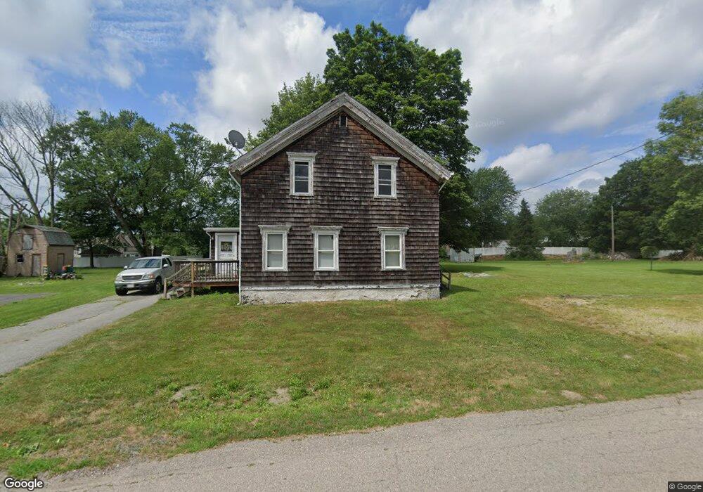
40 Holmes Rd North Attleboro, MA 02760
Estimated Value: $434,979 - $468,000
4
Beds
2
Baths
1,404
Sq Ft
$321/Sq Ft
Est. Value
About This Home
This home is located at 40 Holmes Rd, North Attleboro, MA 02760 and is currently estimated at $450,326, approximately $320 per square foot. 40 Holmes Rd is a home located in Bristol County with nearby schools including North Attleboro High School and Mercymount Country Day School.
Ownership History
Date
Name
Owned For
Owner Type
Purchase Details
Closed on
Mar 7, 1994
Sold by
Duffy Edna E and Watson Robert E
Bought by
Bolton Christopher J and Bolton Scott F
Current Estimated Value
Home Financials for this Owner
Home Financials are based on the most recent Mortgage that was taken out on this home.
Original Mortgage
$104,300
Interest Rate
7.01%
Mortgage Type
Purchase Money Mortgage
Create a Home Valuation Report for This Property
The Home Valuation Report is an in-depth analysis detailing your home's value as well as a comparison with similar homes in the area
Home Values in the Area
Average Home Value in this Area
Purchase History
| Date | Buyer | Sale Price | Title Company |
|---|---|---|---|
| Bolton Christopher J | $106,650 | -- |
Source: Public Records
Mortgage History
| Date | Status | Borrower | Loan Amount |
|---|---|---|---|
| Open | Bolton Christopher J | $120,000 | |
| Closed | Bolton Christopher J | $104,300 |
Source: Public Records
Tax History
| Year | Tax Paid | Tax Assessment Tax Assessment Total Assessment is a certain percentage of the fair market value that is determined by local assessors to be the total taxable value of land and additions on the property. | Land | Improvement |
|---|---|---|---|---|
| 2025 | $4,011 | $340,200 | $145,900 | $194,300 |
| 2024 | $3,864 | $334,800 | $145,900 | $188,900 |
| 2023 | $3,805 | $297,500 | $145,900 | $151,600 |
| 2022 | $4,044 | $290,300 | $145,900 | $144,400 |
| 2021 | $4,322 | $302,900 | $145,900 | $157,000 |
| 2020 | $39 | $276,700 | $145,900 | $130,800 |
| 2019 | $3,754 | $263,600 | $132,800 | $130,800 |
| 2018 | $41 | $237,400 | $132,800 | $104,600 |
| 2017 | $1,800 | $237,400 | $132,800 | $104,600 |
| 2016 | $2,953 | $223,400 | $147,600 | $75,800 |
| 2015 | $3,033 | $230,800 | $155,000 | $75,800 |
| 2014 | $2,987 | $225,600 | $143,300 | $82,300 |
Source: Public Records
Map
Nearby Homes
- 61 Holmes Rd
- 23 Joseph h Leblanc Ln
- 740 Allen Ave
- 64 Germaine Dr
- Lot 6 Sperry Ln
- 33 Old Meadow Ln
- 32 Anawan Rd
- 336 Allen Ave
- 430 Mendon Rd
- 16 Owen Dr
- 70 Broadway Unit 24
- 11 Primrose Terrace
- 16 Johnson St
- 26 Country Hill Rd
- 154 Bear Hill Rd Unit 401
- 260 Cumberland Ave
- 513 Old Post Rd
- 130 E Washington St Unit 71
- 121 E Washington St Unit 5
- 121 E Washington St Unit 12
Your Personal Tour Guide
Ask me questions while you tour the home.