40 Industrial Park Rd Plymouth, MA 02360
Estimated Value: $14,449,023
3
Beds
1
Bath
1,400
Sq Ft
$10,321/Sq Ft
Est. Value
About This Home
This home is located at 40 Industrial Park Rd, Plymouth, MA 02360 and is currently estimated at $14,449,023, approximately $10,320 per square foot. 40 Industrial Park Rd is a home located in Plymouth County with nearby schools including Hedge Elementary School, Plymouth Community Intermediate, and Plymouth North High School.
Ownership History
Date
Name
Owned For
Owner Type
Purchase Details
Closed on
Mar 17, 2011
Sold by
Upland Rt
Bought by
Foxrock Plymouth Rlty
Current Estimated Value
Home Financials for this Owner
Home Financials are based on the most recent Mortgage that was taken out on this home.
Original Mortgage
$3,300,000
Outstanding Balance
$2,272,762
Interest Rate
4.84%
Mortgage Type
Commercial
Estimated Equity
$12,176,261
Purchase Details
Closed on
Sep 24, 1991
Sold by
Plymouth Interests Rt
Bought by
Eastern Bk
Create a Home Valuation Report for This Property
The Home Valuation Report is an in-depth analysis detailing your home's value as well as a comparison with similar homes in the area
Home Values in the Area
Average Home Value in this Area
Purchase History
| Date | Buyer | Sale Price | Title Company |
|---|---|---|---|
| Foxrock Plymouth Rlty | $5,900,000 | -- | |
| Eastern Bk | $2,800,000 | -- |
Source: Public Records
Mortgage History
| Date | Status | Borrower | Loan Amount |
|---|---|---|---|
| Open | Foxrock Plymouth Rlty | $3,300,000 | |
| Previous Owner | Eastern Bk | $3,400 | |
| Previous Owner | Eastern Bk | $215,000 |
Source: Public Records
Tax History Compared to Growth
Tax History
| Year | Tax Paid | Tax Assessment Tax Assessment Total Assessment is a certain percentage of the fair market value that is determined by local assessors to be the total taxable value of land and additions on the property. | Land | Improvement |
|---|---|---|---|---|
| 2025 | $189,948 | $14,968,300 | $2,075,400 | $12,892,900 |
| 2024 | $171,166 | $13,299,600 | $1,977,400 | $11,322,200 |
| 2023 | $176,132 | $12,847,000 | $1,830,400 | $11,016,600 |
| 2022 | $189,122 | $12,256,800 | $1,585,300 | $10,671,500 |
| 2021 | $5,430 | $11,582,100 | $1,585,300 | $9,996,800 |
| 2020 | $188,929 | $11,555,300 | $1,585,300 | $9,970,000 |
| 2019 | $180,691 | $10,924,500 | $1,536,300 | $9,388,200 |
| 2018 | $138,231 | $8,398,000 | $1,418,700 | $6,979,300 |
| 2017 | $131,032 | $7,903,000 | $1,340,300 | $6,562,700 |
| 2016 | $87,106 | $5,353,800 | $1,242,300 | $4,111,500 |
| 2015 | $83,198 | $5,353,800 | $1,242,300 | $4,111,500 |
| 2014 | $78,845 | $5,211,200 | $1,217,100 | $3,994,100 |
Source: Public Records
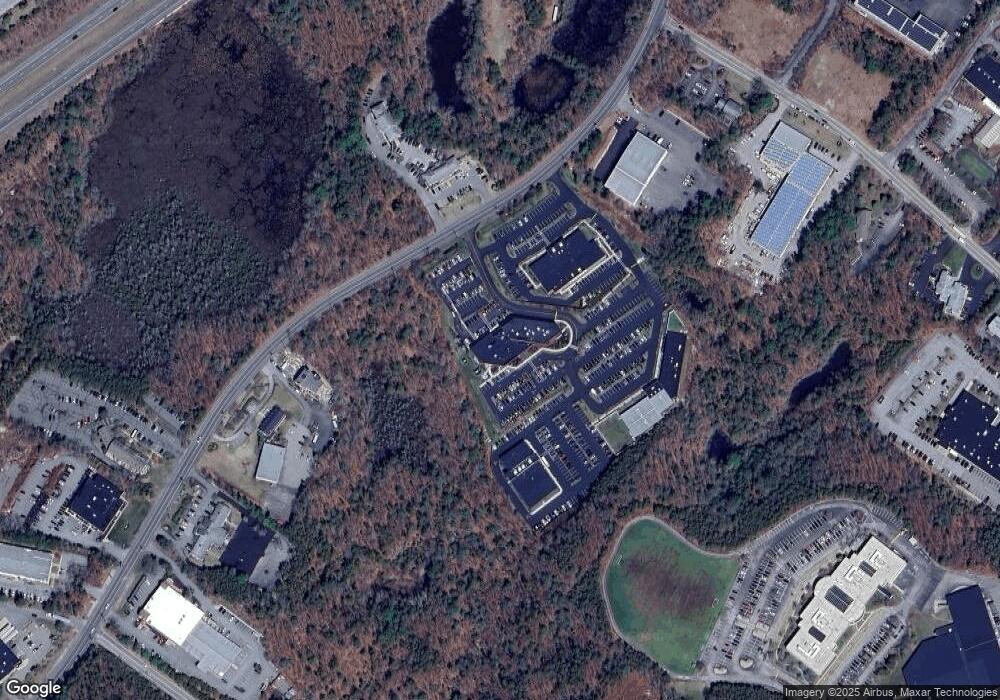
Map
Nearby Homes
- 116 Pilgrim Trail
- 52 Liberty St Unit L3
- 52 Liberty St Unit C5
- 2 Marc Dr Unit 2B2
- 5 Marc Dr Unit 8
- 5 Marc Dr Unit 5
- 27 Megansett Dr Unit 27
- 63 Cherry St
- 6A Marc Dr Unit 7
- 8 Westwood Rd
- 144 Industrial Park Rd
- 91 Monks Hill Rd
- 20 Orchard Ave
- 291 Court St
- 211 Court St
- 12 Rome Ave
- 4 S Spooner St Unit 6
- 4 S Spooner St Unit 7
- 4 S Spooner St Unit 8
- 2 S Spooner St Unit 3
- 41 Industrial Park Rd
- 37 Industrial Park Rd Unit 2
- 37 Industrial Park Rd
- 54 Industrial Park Rd Unit 103
- 54 Industrial Park Rd Unit 104
- 54 Industrial Park Rd Unit 101
- 54 Industrial Park Rd Unit 4
- 54 Industrial Park Rd Unit 101-303
- 54 Industrial Park Rd
- 30 Industrial Park Rd
- 33 Industrial Park Rd
- 39A Industrial Park Rd
- 39 Industrial Park Rd
- 39 Industrial Park Rd Unit C
- 5 Aldrin Rd Unit B
- 5 Aldrin Rd Unit 2
- 5 Aldrin Rd Unit 1
- 5 Aldrin Rd
- 62 Industrial Park Rd
- 64 Industrial Park Rd Unit 1