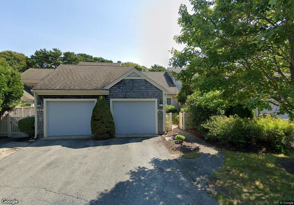
40 Kates Path Unit A Yarmouth Port, MA 02675
Yarmouth Port NeighborhoodEstimated Value: $507,858 - $581,000
2
Beds
3
Baths
1,154
Sq Ft
$469/Sq Ft
Est. Value
About This Home
This home is located at 40 Kates Path Unit A, Yarmouth Port, MA 02675 and is currently estimated at $541,715, approximately $469 per square foot. 40 Kates Path Unit A is a home located in Barnstable County with nearby schools including Dennis-Yarmouth Regional High School.
Ownership History
Date
Name
Owned For
Owner Type
Purchase Details
Closed on
Mar 30, 2016
Sold by
Fields Francis X and Fields Gaynor A
Bought by
Fields Francis X
Current Estimated Value
Purchase Details
Closed on
Dec 8, 2008
Sold by
Gaskell Rt
Bought by
Fields Francis X and Fields Gaynor A
Purchase Details
Closed on
Mar 3, 1988
Sold by
The Green Co Inc
Bought by
Gaskell John M
Create a Home Valuation Report for This Property
The Home Valuation Report is an in-depth analysis detailing your home's value as well as a comparison with similar homes in the area
Home Values in the Area
Average Home Value in this Area
Purchase History
| Date | Buyer | Sale Price | Title Company |
|---|---|---|---|
| Fields Francis X | -- | -- | |
| Fields Francis X | $345,000 | -- | |
| Gaskell John M | $183,000 | -- |
Source: Public Records
Tax History Compared to Growth
Tax History
| Year | Tax Paid | Tax Assessment Tax Assessment Total Assessment is a certain percentage of the fair market value that is determined by local assessors to be the total taxable value of land and additions on the property. | Land | Improvement |
|---|---|---|---|---|
| 2025 | $3,149 | $444,800 | $0 | $444,800 |
| 2024 | $2,953 | $400,200 | $0 | $400,200 |
| 2023 | $2,870 | $353,900 | $0 | $353,900 |
| 2022 | $3,406 | $371,000 | $0 | $371,000 |
| 2021 | $3,157 | $330,200 | $0 | $330,200 |
| 2020 | $3,185 | $318,500 | $0 | $318,500 |
| 2019 | $2,985 | $295,500 | $0 | $295,500 |
| 2018 | $2,804 | $272,500 | $0 | $272,500 |
| 2017 | $2,615 | $261,000 | $0 | $261,000 |
| 2016 | $2,490 | $249,500 | $0 | $249,500 |
| 2015 | $2,493 | $248,300 | $0 | $248,300 |
Source: Public Records
Map
Nearby Homes
- 64 Kates Path
- 17 Kates Path Unit A
- 228 Kates Path
- 43 Canterbury Rd
- 19 John Halls Cartpath Village Unit E
- 158 Kates Path
- 19 John Hall Cartway Unit E
- 50 John Hall Cartway
- 50 John Hall Cartway Unit 50
- 42 John Hall Cartway Unit 42
- 44 Stratford Ln
- 28 Oak Glen
- 25 Oak Glen Village Unit 25
- 25 Oak Glen
- 800 Route 6a
- 800 Route 6a
- 30 W Woods
- 30 W Woods Cir Unit 30
- 2 Pine Grove
- 21 Boxwood Cir
- 46 Kates Path
- 44 Kates Path
- 42 Kates Path
- 40 Kates Path
- 36 Kates Path
- 46 Kate's Path Unit 46
- 42 Kates Path Unit B
- 44 Kates Path Unit 44C
- 38 Kates Path Unit C
- 42 Kates Path Unit B
- 42 Kates Path Unit 42
- 46 Kates Path Unit E
- 42 Kate's Point Unit B
- 60 Kate's Point Unit 60
- 34 Kates Path
- 28 Kates Path
- 34 Kates Path Unit 34
- 34 Kates Path Unit D
- 28 Kates Village Path Unit 28
- 34 Kates Village D