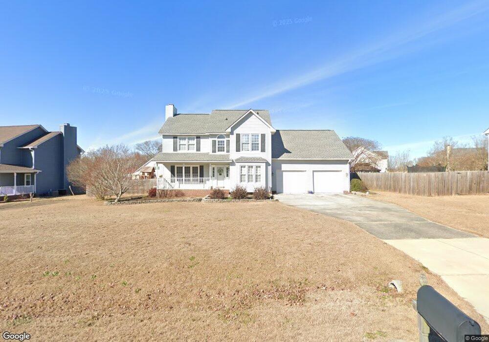
40 Kings Way Angier, NC 27501
Estimated Value: $326,000 - $371,000
3
Beds
2
Baths
2,290
Sq Ft
$153/Sq Ft
Est. Value
About This Home
This home is located at 40 Kings Way, Angier, NC 27501 and is currently estimated at $350,297, approximately $152 per square foot. 40 Kings Way is a home located in Harnett County with nearby schools including Angier Elementary School, North Harnett Primary School, and Harnett Central Middle School.
Ownership History
Date
Name
Owned For
Owner Type
Purchase Details
Closed on
Sep 12, 2019
Sold by
Fisher Martin A and Fisher Marian H
Bought by
Livengood Katherine W and Livengood Nicholas R
Current Estimated Value
Home Financials for this Owner
Home Financials are based on the most recent Mortgage that was taken out on this home.
Original Mortgage
$211,850
Outstanding Balance
$185,943
Interest Rate
3.7%
Mortgage Type
New Conventional
Estimated Equity
$164,354
Purchase Details
Closed on
Feb 25, 2017
Sold by
Altheide Richard S
Bought by
Fisher Martin A and Fisher Marian H
Home Financials for this Owner
Home Financials are based on the most recent Mortgage that was taken out on this home.
Original Mortgage
$198,336
Interest Rate
4.19%
Mortgage Type
VA
Purchase Details
Closed on
Jan 1, 1996
Bought by
Altheide Richard S
Create a Home Valuation Report for This Property
The Home Valuation Report is an in-depth analysis detailing your home's value as well as a comparison with similar homes in the area
Home Values in the Area
Average Home Value in this Area
Purchase History
| Date | Buyer | Sale Price | Title Company |
|---|---|---|---|
| Livengood Katherine W | $223,000 | None Available | |
| Fisher Martin A | $192,000 | -- | |
| Altheide Richard S | $137,000 | -- |
Source: Public Records
Mortgage History
| Date | Status | Borrower | Loan Amount |
|---|---|---|---|
| Open | Livengood Katherine W | $211,850 | |
| Previous Owner | Fisher Martin A | $198,336 |
Source: Public Records
Tax History
| Year | Tax Paid | Tax Assessment Tax Assessment Total Assessment is a certain percentage of the fair market value that is determined by local assessors to be the total taxable value of land and additions on the property. | Land | Improvement |
|---|---|---|---|---|
| 2025 | $1,690 | $237,483 | $0 | $0 |
| 2024 | $1,690 | $237,483 | $0 | $0 |
| 2023 | $1,667 | $237,483 | $0 | $0 |
| 2022 | $1,584 | $237,483 | $0 | $0 |
| 2021 | $1,584 | $182,860 | $0 | $0 |
| 2020 | $1,584 | $182,860 | $0 | $0 |
| 2019 | $1,569 | $182,860 | $0 | $0 |
| 2018 | $1,569 | $182,860 | $0 | $0 |
| 2017 | $1,569 | $182,860 | $0 | $0 |
| 2016 | $1,468 | $170,500 | $0 | $0 |
| 2015 | $1,468 | $170,500 | $0 | $0 |
| 2014 | $1,468 | $170,500 | $0 | $0 |
Source: Public Records
Map
Nearby Homes
- 50 Stone Apairy Dr
- 78 Stone Apiary Dr
- 93 Stone Apairy Dr
- 8110 Nc 210 N
- 203 Honeydew Dr
- 114 Honeydew Dr
- 221 Honeydew Dr
- 32 Bluebottle St
- 170 Honeydew Dr
- 14 Green Laurel Dr
- 229 Honeydew Dr
- 180 Honeydew Dr
- 190 Honeydew Dr
- 198 Honeydew Dr
- 239 Honeydew Dr
- 210 Honeydew Dr
- 222 Honeydew Dr
- 238 Honeydew Dr
- 257 Honeydew Dr
- 8224 Nc 210 N
Your Personal Tour Guide
Ask me questions while you tour the home.