40 Lakeshore Dr Reynolds, GA 31076
Estimated Value: $117,000 - $185,000
Studio
2
Baths
1,230
Sq Ft
$115/Sq Ft
Est. Value
About This Home
This home is located at 40 Lakeshore Dr, Reynolds, GA 31076 and is currently estimated at $141,442, approximately $114 per square foot. 40 Lakeshore Dr is a home located in Taylor County with nearby schools including Taylor County Primary School, Taylor County Upper Elementary School, and Taylor County Middle School.
Ownership History
Date
Name
Owned For
Owner Type
Purchase Details
Closed on
Apr 3, 2023
Sold by
Kirksey Matthew Caleb
Bought by
Posey Casey
Current Estimated Value
Home Financials for this Owner
Home Financials are based on the most recent Mortgage that was taken out on this home.
Original Mortgage
$139,529
Outstanding Balance
$70,879
Interest Rate
6.65%
Mortgage Type
Mortgage Modification
Estimated Equity
$70,563
Purchase Details
Closed on
Feb 9, 2021
Sold by
Delong Shannon K
Bought by
Kirksey Matthew Caleb
Home Financials for this Owner
Home Financials are based on the most recent Mortgage that was taken out on this home.
Original Mortgage
$85,858
Interest Rate
2.7%
Mortgage Type
New Conventional
Purchase Details
Closed on
Sep 18, 1995
Bought by
Delong Shannon and Delong Ter
Create a Home Valuation Report for This Property
The Home Valuation Report is an in-depth analysis detailing your home's value as well as a comparison with similar homes in the area
Purchase History
| Date | Buyer | Sale Price | Title Company |
|---|---|---|---|
| Posey Casey | $137,000 | -- | |
| Kirksey Matthew Caleb | $85,000 | -- | |
| Delong Shannon | $44,000 | -- |
Source: Public Records
Mortgage History
| Date | Status | Borrower | Loan Amount |
|---|---|---|---|
| Open | Posey Casey | $139,529 | |
| Previous Owner | Kirksey Matthew Caleb | $85,858 |
Source: Public Records
Tax History
| Year | Tax Paid | Tax Assessment Tax Assessment Total Assessment is a certain percentage of the fair market value that is determined by local assessors to be the total taxable value of land and additions on the property. | Land | Improvement |
|---|---|---|---|---|
| 2025 | $921 | $45,840 | $3,920 | $41,920 |
| 2024 | $808 | $40,240 | $3,920 | $36,320 |
| 2023 | $728 | $32,520 | $3,920 | $28,600 |
| 2022 | $712 | $31,000 | $3,920 | $27,080 |
| 2021 | $683 | $29,040 | $3,920 | $25,120 |
| 2020 | $595 | $25,080 | $3,920 | $21,160 |
| 2019 | $605 | $25,080 | $3,920 | $21,160 |
| 2018 | $604 | $25,080 | $3,920 | $21,160 |
| 2017 | $628 | $26,414 | $3,948 | $22,466 |
| 2016 | $633 | $26,414 | $3,948 | $22,466 |
| 2015 | -- | $26,414 | $3,948 | $22,466 |
| 2014 | -- | $25,817 | $3,948 | $21,869 |
| 2013 | -- | $26,116 | $3,948 | $22,168 |
Source: Public Records
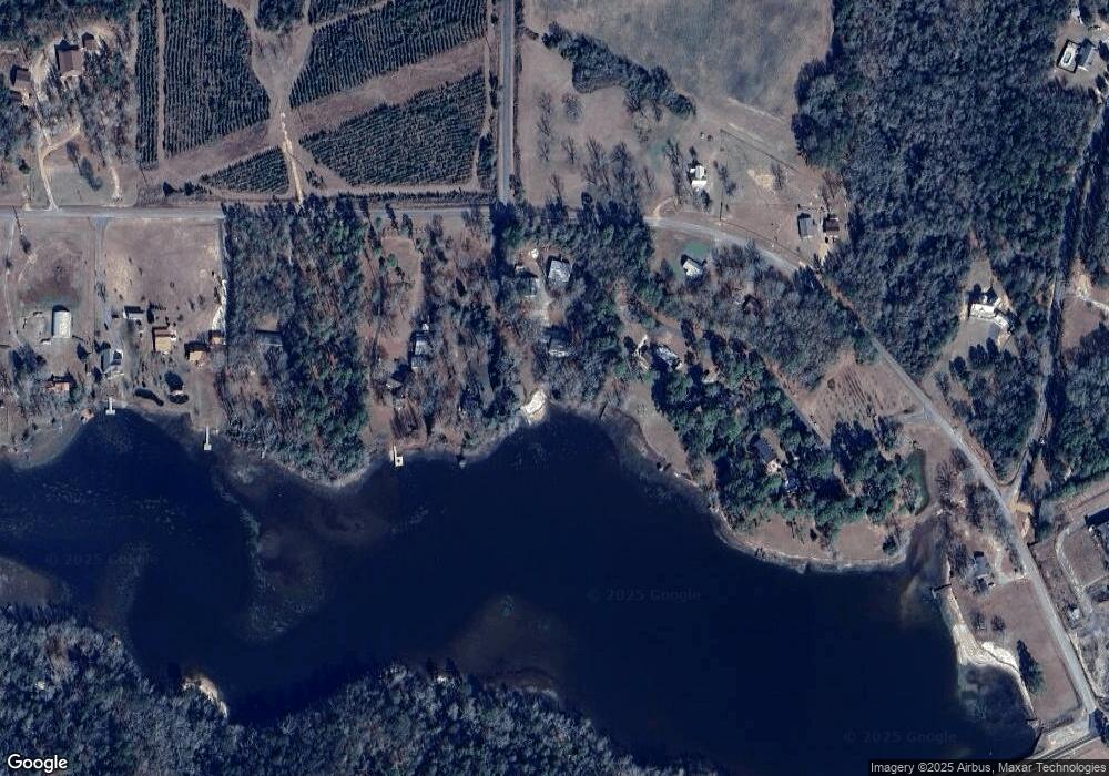
Map
Nearby Homes
- 1092 Tommy Purvis Rd
- 160 Underwood Rd
- 26 Mount Olive Church Rd
- 708 Tommy Purvis Junior Rd
- 9 Friar Tuck Rd
- 25 W Marion St
- 0 Suggs Mill Pond Rd Unit 26113830
- 67 N Collins St
- Parcel 2 Whipporwill Rd
- Parcel 3 Whipporwill Rd
- Parcel 5 Carl Rogers Rd
- Parcel 8 Carl Rogers Rd
- Parcel 13 Carl Rogers Rd
- Parcel 7 Carl Rogers Rd
- Parcel 6 Carl Rogers Rd
- Parcel 12 Carl Rogers Rd
- 93 Poole Rd
- Highway 96
- 0 Oak Ridge Dr
- 0 Allmon Rd Unit 25510364
- 40 Lakeshore Dr
- 33 Lakeshore Dr
- 494 Barrow Rd
- 23 Lakeshore Dr
- 502 Barrow Rd
- 491 Barrow Rd
- 15 Lakeshore Dr
- 503 Barrow Rd
- 446 Barrow Rd
- 9 Lakeshore Dr
- 436 Barrow Rd
- 188 Underwood Rd
- 1079 Tommy Purvis Rd
- 1079 Tommy Purvis Rd
- 1091 Tommy Purvis Rd
- 416 Barrow Rd
- 424 Barrow Rd
- 1093 Tommy Purvis Rd
- 406 Barrow Rd
- 1092 Tommy Purvis Junior Rd
Your Personal Tour Guide
Ask me questions while you tour the home.