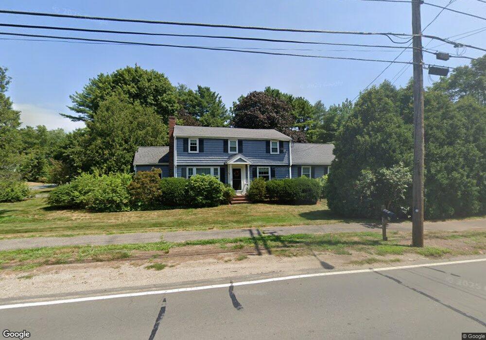
40 Landham Rd Sudbury, MA 01776
Estimated Value: $918,000 - $1,019,000
4
Beds
2
Baths
2,088
Sq Ft
$473/Sq Ft
Est. Value
About This Home
This home is located at 40 Landham Rd, Sudbury, MA 01776 and is currently estimated at $986,978, approximately $472 per square foot. 40 Landham Rd is a home located in Middlesex County with nearby schools including Israel Loring Elementary School, Ephraim Curtis Middle School, and Lincoln-Sudbury Regional High School.
Ownership History
Date
Name
Owned For
Owner Type
Purchase Details
Closed on
Sep 15, 1992
Sold by
Gaskin Steven P and Gaskin Barbara C
Bought by
Alves David J and Alves Cynthia C
Current Estimated Value
Create a Home Valuation Report for This Property
The Home Valuation Report is an in-depth analysis detailing your home's value as well as a comparison with similar homes in the area
Home Values in the Area
Average Home Value in this Area
Purchase History
| Date | Buyer | Sale Price | Title Company |
|---|---|---|---|
| Alves David J | $210,000 | -- |
Source: Public Records
Mortgage History
| Date | Status | Borrower | Loan Amount |
|---|---|---|---|
| Open | Alves David J | $320,000 | |
| Closed | Alves David J | $323,000 | |
| Closed | Alves David J | $325,000 |
Source: Public Records
Tax History Compared to Growth
Tax History
| Year | Tax Paid | Tax Assessment Tax Assessment Total Assessment is a certain percentage of the fair market value that is determined by local assessors to be the total taxable value of land and additions on the property. | Land | Improvement |
|---|---|---|---|---|
| 2025 | $14,644 | $1,000,300 | $396,300 | $604,000 |
| 2024 | $14,100 | $965,100 | $384,700 | $580,400 |
| 2023 | $13,170 | $835,100 | $349,600 | $485,500 |
| 2022 | $12,532 | $694,300 | $320,900 | $373,400 |
| 2021 | $11,940 | $634,100 | $320,900 | $313,200 |
| 2020 | $11,699 | $634,100 | $320,900 | $313,200 |
| 2019 | $11,357 | $634,100 | $320,900 | $313,200 |
| 2018 | $10,946 | $610,500 | $324,600 | $285,900 |
| 2017 | $10,584 | $596,600 | $313,400 | $283,200 |
| 2016 | $10,260 | $576,400 | $301,500 | $274,900 |
| 2015 | $9,800 | $556,800 | $287,300 | $269,500 |
| 2014 | $9,758 | $541,200 | $277,200 | $264,000 |
Source: Public Records
Map
Nearby Homes
- 63 Landham Rd
- 0 Wagonwheel Rd
- 84 Hopestill Brown Rd
- 30 Edith Rd
- 216 Landham Rd
- 8 Clara Rd
- 24 Pinewood Dr
- 14 Francine Rd
- 81 Nicholas Rd Unit B
- 71 Nicholas Rd Unit H
- 19 Park Ave
- 14 Eisenhower Rd
- 29 Derby St
- 163 Water St
- 27 Sloane Dr
- 8 Elm St Unit 8A
- 154 Danforth St
- 82 Joseph Rd
- 11 Danforth Park Rd
- 91 Eaton Rd W
- 37 Landham Rd
- 32 Landham Rd
- 9 Brookdale Rd
- 48 Landham Rd
- 3 Patricia Rd
- 28 Landham Rd Unit 28
- 14 Russet Ln
- 31 Landham Rd Unit 31
- 29 Landham Rd Unit 29
- 26 Landham Rd Unit 26
- 25 Landham Rd Unit 25
- 19 Landham Rd Unit 19
- 23 Landham Rd Unit 23
- 12 Ames Rd
- 22 Landham Rd Unit 22
- 12 Brookdale Rd
- 15 Brookdale Rd
- 3 Russet Ln
- 5 Ames Rd
- 20 Landham Rd Unit 20