40 Landing Rd West Bath, ME 04530
Estimated Value: $1,282,000 - $1,602,926
4
Beds
1
Bath
966
Sq Ft
$1,493/Sq Ft
Est. Value
About This Home
This home is located at 40 Landing Rd, West Bath, ME 04530 and is currently estimated at $1,442,463, approximately $1,493 per square foot. 40 Landing Rd is a home located in Sagadahoc County with nearby schools including Morse High School.
Ownership History
Date
Name
Owned For
Owner Type
Purchase Details
Closed on
Sep 12, 2025
Sold by
Akar Elizabeth H
Bought by
Akar-Willard Ft
Current Estimated Value
Purchase Details
Closed on
Aug 29, 2019
Sold by
E Akar Ft and Fast
Bought by
Willard Elizabeth H
Purchase Details
Closed on
Aug 2, 2013
Sold by
Akar Elizabeth W Est and Fast
Bought by
E Akar Ft and Fast
Create a Home Valuation Report for This Property
The Home Valuation Report is an in-depth analysis detailing your home's value as well as a comparison with similar homes in the area
Home Values in the Area
Average Home Value in this Area
Purchase History
| Date | Buyer | Sale Price | Title Company |
|---|---|---|---|
| Akar-Willard Ft | -- | -- | |
| Akar-Willard Ft | -- | -- | |
| Willard Elizabeth H | -- | -- | |
| Willard Elizabeth H | -- | -- | |
| Willard Elizabeth H | -- | -- | |
| Willard Elizabeth H | -- | -- | |
| E Akar Ft | -- | -- | |
| E Akar Ft | -- | -- | |
| E Akar Ft | -- | -- | |
| E Akar Ft | -- | -- | |
| E Akar Ft | -- | -- |
Source: Public Records
Tax History Compared to Growth
Tax History
| Year | Tax Paid | Tax Assessment Tax Assessment Total Assessment is a certain percentage of the fair market value that is determined by local assessors to be the total taxable value of land and additions on the property. | Land | Improvement |
|---|---|---|---|---|
| 2024 | $13,105 | $1,598,200 | $792,000 | $806,200 |
| 2023 | $10,868 | $1,598,200 | $792,000 | $806,200 |
| 2022 | $9,262 | $865,628 | $367,100 | $498,528 |
| 2021 | $8,866 | $844,362 | $367,100 | $477,262 |
| 2020 | $5,232 | $498,300 | $367,100 | $131,200 |
| 2019 | $4,781 | $455,300 | $367,100 | $88,200 |
| 2018 | $5,054 | $455,300 | $367,100 | $88,200 |
| 2017 | $5,099 | $455,300 | $367,100 | $88,200 |
| 2016 | $4,644 | $455,300 | $367,100 | $88,200 |
| 2015 | $4,735 | $455,300 | $367,100 | $88,200 |
| 2014 | $4,644 | $455,300 | $367,100 | $88,200 |
| 2013 | $4,621 | $455,300 | $367,100 | $88,200 |
Source: Public Records
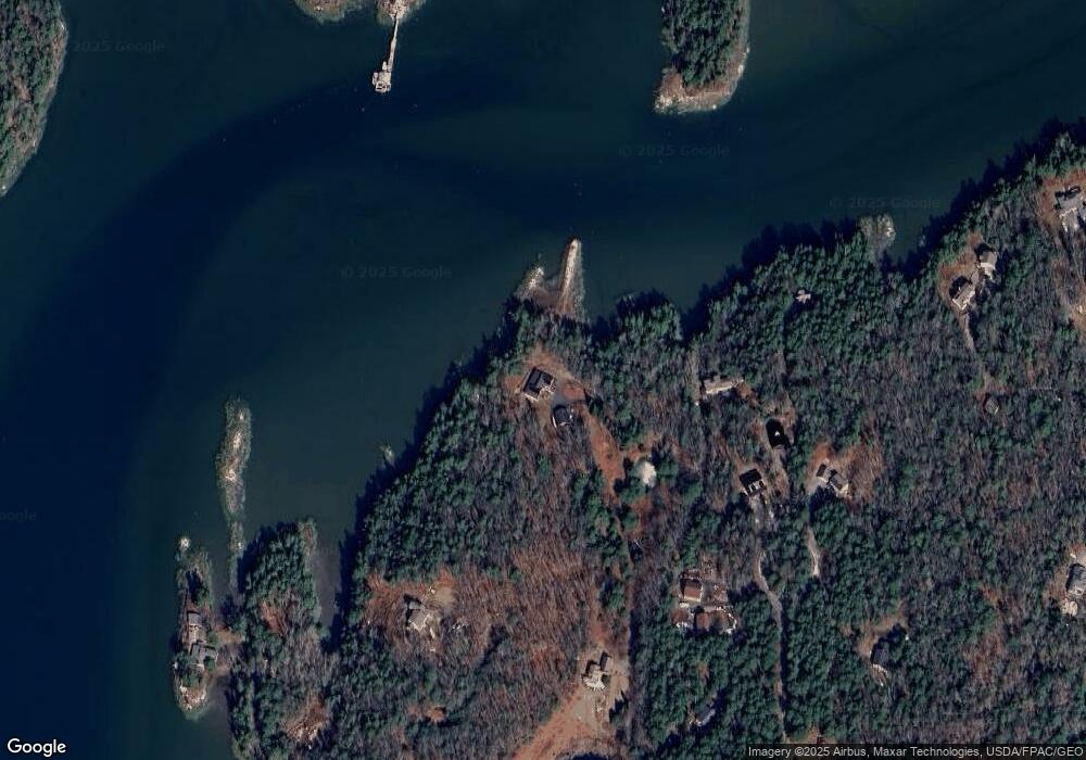
Map
Nearby Homes
- 46 Dam Cove Rd
- 88 Campbell Pond Rd
- 51 & 53 Rock Haven Dr
- Lot 27 Howards Point Ln
- 60 Rosedale Rd
- 10 Birch Point Rd
- 66 High St
- 140 Clifford Rd
- 93 Abbot Cove Rd
- 197 Main Rd
- Lot #2 Rte 209 Main Rd
- 286 High St
- 10 Marshall Ave
- 47 Cluf Bay Rd
- 19 Ward Cir
- 29 & 30 Nob Hill Ave
- 38 Ward Cir
- 0 Main Rd
- 646 Gurnet Rd
- 332 Washington St
- 15 Shore Dr
- 46 Fierce Rd
- 37 Northwood Rd
- 21 Broderick Ln
- 60 Fierce Rd
- 41 Northwood Rd
- 16 Landing Rd
- 33 Northwood Rd
- 100 Northwood Rd
- 14 Northwood Rd
- 29 Northwood Rd
- 111 Rockweed Rd
- 62 Great Heron Dr
- 19 Northwood Rd
- 92 Rockweed Rd
- 68 Great Heron Dr
- 28 Great Heron Dr
- 0 Rockweed Rd Unit 245297
- 0 Rockweed Lot 4 Rd Unit 1269303
- 0 Rockweed Rd Unit 1239722