40 Latham Ct Unit 40 Doylestown, PA 18901
Estimated Value: $739,000 - $923,000
3
Beds
3
Baths
2,889
Sq Ft
$280/Sq Ft
Est. Value
About This Home
This home is located at 40 Latham Ct Unit 40, Doylestown, PA 18901 and is currently estimated at $807,949, approximately $279 per square foot. 40 Latham Ct Unit 40 is a home located in Bucks County with nearby schools including Doyle El School, Lenape Middle School, and Central Bucks High School-West.
Ownership History
Date
Name
Owned For
Owner Type
Purchase Details
Closed on
Jun 21, 2002
Sold by
Laser James R and Laser Teresa R
Bought by
Laser James R
Current Estimated Value
Purchase Details
Closed on
Aug 7, 2000
Sold by
Crusade George and Crusade Constantina
Bought by
Laser James R and Laser Teresa R
Home Financials for this Owner
Home Financials are based on the most recent Mortgage that was taken out on this home.
Original Mortgage
$250,000
Interest Rate
6.87%
Create a Home Valuation Report for This Property
The Home Valuation Report is an in-depth analysis detailing your home's value as well as a comparison with similar homes in the area
Home Values in the Area
Average Home Value in this Area
Purchase History
| Date | Buyer | Sale Price | Title Company |
|---|---|---|---|
| Laser James R | -- | -- | |
| Laser James R | $350,000 | -- |
Source: Public Records
Mortgage History
| Date | Status | Borrower | Loan Amount |
|---|---|---|---|
| Previous Owner | Laser James R | $250,000 |
Source: Public Records
Tax History Compared to Growth
Tax History
| Year | Tax Paid | Tax Assessment Tax Assessment Total Assessment is a certain percentage of the fair market value that is determined by local assessors to be the total taxable value of land and additions on the property. | Land | Improvement |
|---|---|---|---|---|
| 2025 | $8,834 | $49,920 | -- | $49,920 |
| 2024 | $8,834 | $49,920 | $0 | $49,920 |
| 2023 | $8,423 | $49,920 | $0 | $49,920 |
| 2022 | $8,330 | $49,920 | $0 | $49,920 |
| 2021 | $8,158 | $49,920 | $0 | $49,920 |
| 2020 | $8,121 | $49,920 | $0 | $49,920 |
| 2019 | $8,033 | $49,920 | $0 | $49,920 |
| 2018 | $8,008 | $49,920 | $0 | $49,920 |
| 2017 | $7,946 | $49,920 | $0 | $49,920 |
| 2016 | $7,896 | $49,920 | $0 | $49,920 |
| 2015 | -- | $49,920 | $0 | $49,920 |
| 2014 | -- | $49,920 | $0 | $49,920 |
Source: Public Records
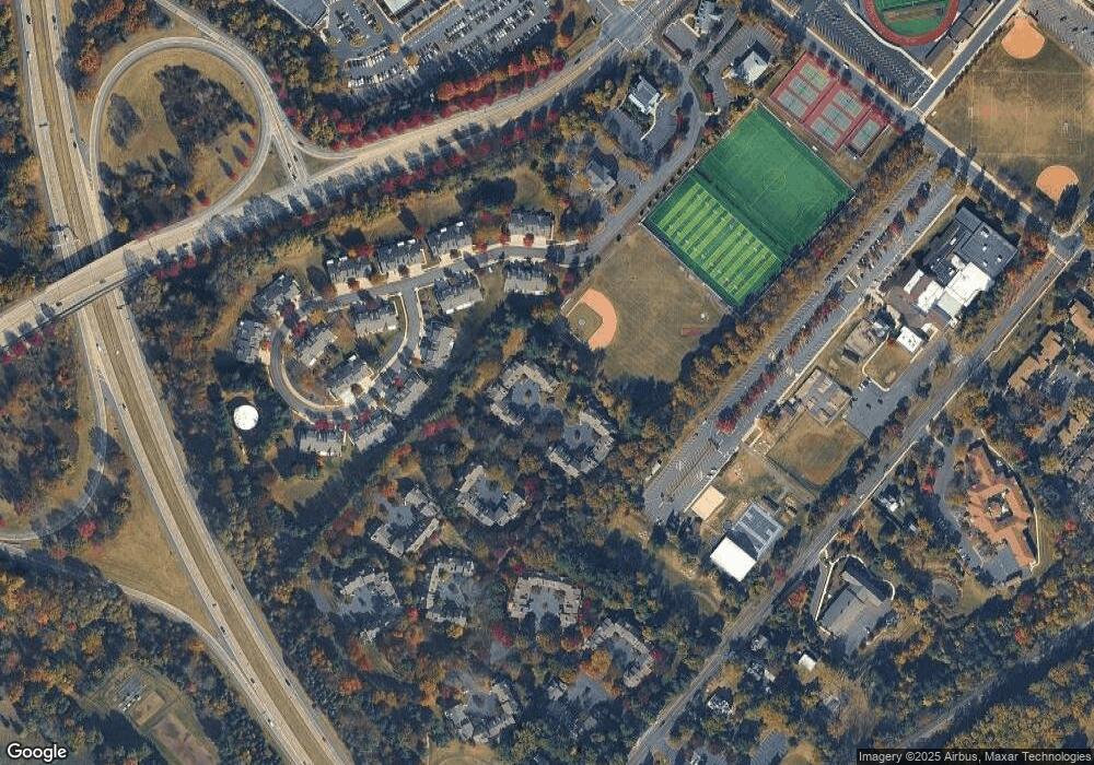
Map
Nearby Homes
- 9 Mill Creek Dr
- 422 Fordhook Rd
- 450 Ford Hook Rd
- 432 Ford Hook Rd
- 259 W Ashland St
- 197 Spring Ln
- 195 Lafayette St
- 121 Conestoga Dr
- 218 Vaux Dr
- 250 Wooded Dr
- 215 N Franklin St
- 37 N Clinton St
- 333 Dorset Ct Unit 333
- 403 S Main St Unit S201
- 4 Old Colonial Dr Unit 254
- 84 Iron Hill Rd
- 200 N Shady Retreat Rd
- 137 Wells Rd
- 1 Gatehouse Ln
- 236 Green St
- 39 Latham Ct
- 38 Latham Ct Unit 38
- 37 Latham Ct Unit 37
- 41 Latham Ct Unit 41
- 36 Latham Ct Unit 36
- 42 Latham Ct Unit 42
- 46 Latham Ct
- 43 Latham Ct Unit 43
- 45 Latham Ct Unit 45
- 44 Latham Ct
- 52 Magnolia Ct Unit 52
- 105 Progress Dr
- 107 Progress Dr
- 178 Progress Dr
- 109 Progress Dr
- 180 Progress Dr
- 176 Progress Dr
- 182 Progress Dr
- 111 Progress Dr
- 47 Magnolia Ct