40 Laurel Ln Columbia, CT 06237
Estimated Value: $433,000 - $711,000
2
Beds
3
Baths
3,201
Sq Ft
$181/Sq Ft
Est. Value
About This Home
This home is located at 40 Laurel Ln, Columbia, CT 06237 and is currently estimated at $580,202, approximately $181 per square foot. 40 Laurel Ln is a home located in Tolland County with nearby schools including Horace W. Porter School.
Ownership History
Date
Name
Owned For
Owner Type
Purchase Details
Closed on
Oct 30, 2019
Sold by
Lashetski Sara E
Bought by
Harrington Matthew and Harrington Meghan
Current Estimated Value
Home Financials for this Owner
Home Financials are based on the most recent Mortgage that was taken out on this home.
Original Mortgage
$123,800
Outstanding Balance
$109,128
Interest Rate
3.7%
Mortgage Type
New Conventional
Estimated Equity
$471,074
Purchase Details
Closed on
May 21, 1990
Sold by
Zanotti Frank
Bought by
Bell William
Create a Home Valuation Report for This Property
The Home Valuation Report is an in-depth analysis detailing your home's value as well as a comparison with similar homes in the area
Home Values in the Area
Average Home Value in this Area
Purchase History
| Date | Buyer | Sale Price | Title Company |
|---|---|---|---|
| Harrington Matthew | $240,000 | -- | |
| Bell William | $200,000 | -- |
Source: Public Records
Mortgage History
| Date | Status | Borrower | Loan Amount |
|---|---|---|---|
| Open | Bell William | $123,800 | |
| Previous Owner | Bell William | $136,500 | |
| Previous Owner | Bell William | $133,453 |
Source: Public Records
Tax History Compared to Growth
Tax History
| Year | Tax Paid | Tax Assessment Tax Assessment Total Assessment is a certain percentage of the fair market value that is determined by local assessors to be the total taxable value of land and additions on the property. | Land | Improvement |
|---|---|---|---|---|
| 2025 | $7,876 | $269,080 | $62,020 | $207,060 |
| 2024 | $7,567 | $269,080 | $62,020 | $207,060 |
| 2023 | $6,972 | $269,080 | $62,020 | $207,060 |
| 2022 | $6,961 | $269,080 | $62,020 | $207,060 |
| 2021 | $4,342 | $224,700 | $62,900 | $161,800 |
| 2020 | $6,590 | $224,700 | $62,900 | $161,800 |
| 2019 | $6,590 | $224,700 | $62,900 | $161,800 |
| 2018 | $4,503 | $224,700 | $62,900 | $161,800 |
| 2017 | $6,489 | $224,700 | $62,900 | $161,800 |
| 2016 | $6,234 | $227,200 | $62,900 | $164,300 |
| 2015 | $6,164 | $227,200 | $62,900 | $164,300 |
| 2014 | $6,164 | $227,200 | $62,900 | $164,300 |
Source: Public Records
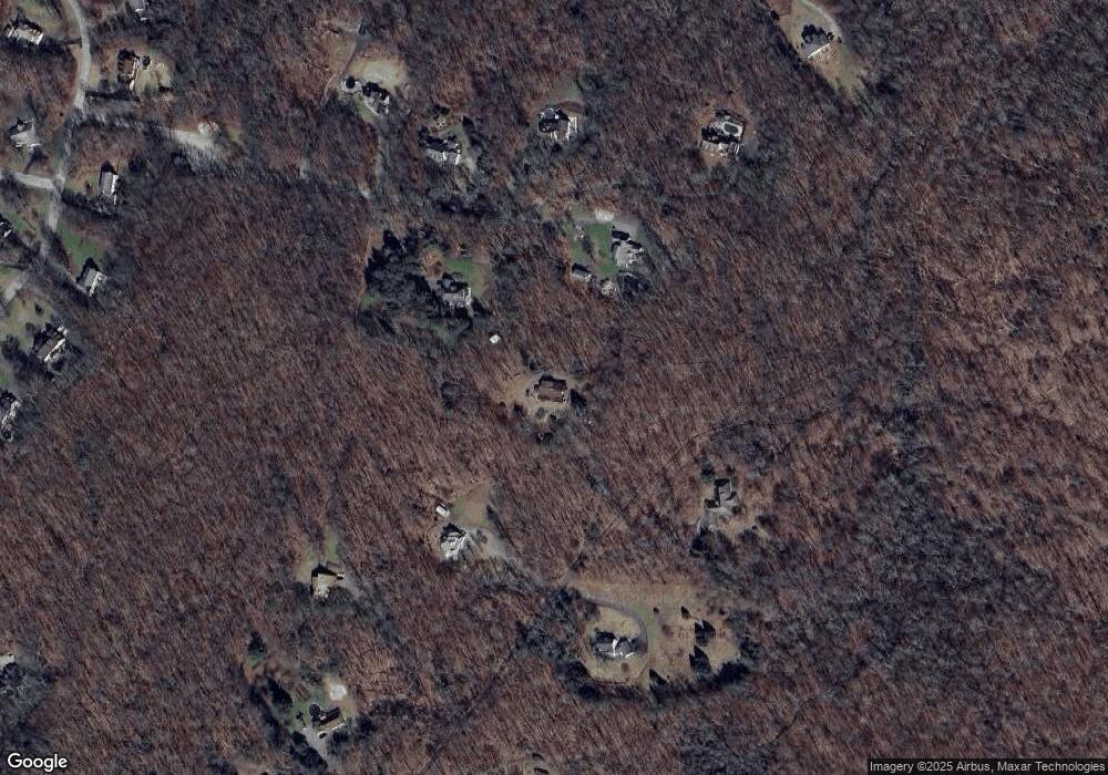
Map
Nearby Homes
- 41 Oakwood Ln
- 127 U S 6
- 127 Route 87
- 10 Lakeview Park
- 44 Route 6
- 14 Edgarton Rd
- 45 MacHt Rd
- 43 Route 87
- 26 Edgarton Rd
- 6 Hilltop Ln
- 78 Hennequin Rd
- 0 Chowanec Rd
- 00 Bunker Hill Rd
- 239 Lake Rd
- 0 Hunt Rd
- 35 Birch Trail
- 0 South St Unit 24134981
- 106 S Street Extension
- 103 S Street Extension
- 198 Forest Rd