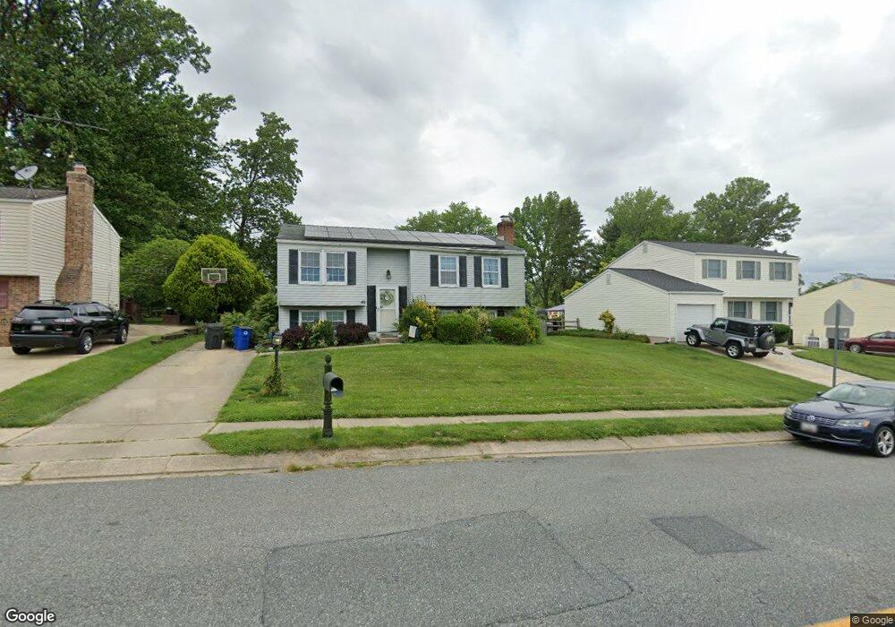
40 Laurentum Pkwy Abingdon, MD 21009
Estimated Value: $347,000 - $377,000
--
Bed
2
Baths
966
Sq Ft
$376/Sq Ft
Est. Value
About This Home
This home is located at 40 Laurentum Pkwy, Abingdon, MD 21009 and is currently estimated at $363,562, approximately $376 per square foot. 40 Laurentum Pkwy is a home located in Harford County with nearby schools including William S. James Elementary School, Patterson Mill Middle School, and Patterson Mill High School.
Ownership History
Date
Name
Owned For
Owner Type
Purchase Details
Closed on
Jun 24, 2003
Sold by
Gable Steven G
Bought by
Sears Shawn M and Killian Sears Tammy L
Current Estimated Value
Purchase Details
Closed on
May 30, 1995
Sold by
Blackburn Herschel S
Bought by
Gable Steven G
Home Financials for this Owner
Home Financials are based on the most recent Mortgage that was taken out on this home.
Original Mortgage
$124,029
Interest Rate
8.33%
Create a Home Valuation Report for This Property
The Home Valuation Report is an in-depth analysis detailing your home's value as well as a comparison with similar homes in the area
Home Values in the Area
Average Home Value in this Area
Purchase History
| Date | Buyer | Sale Price | Title Company |
|---|---|---|---|
| Sears Shawn M | $169,900 | -- | |
| Gable Steven G | $124,500 | -- |
Source: Public Records
Mortgage History
| Date | Status | Borrower | Loan Amount |
|---|---|---|---|
| Previous Owner | Gable Steven G | $124,029 | |
| Closed | Sears Shawn M | -- |
Source: Public Records
Tax History Compared to Growth
Tax History
| Year | Tax Paid | Tax Assessment Tax Assessment Total Assessment is a certain percentage of the fair market value that is determined by local assessors to be the total taxable value of land and additions on the property. | Land | Improvement |
|---|---|---|---|---|
| 2025 | $2,704 | $262,733 | $0 | $0 |
| 2024 | $2,704 | $248,067 | $0 | $0 |
| 2023 | $2,544 | $233,400 | $82,900 | $150,500 |
| 2022 | $2,484 | $227,933 | $0 | $0 |
| 2021 | $2,504 | $222,467 | $0 | $0 |
| 2020 | $2,504 | $217,000 | $82,900 | $134,100 |
| 2019 | $2,503 | $216,867 | $0 | $0 |
| 2018 | $2,479 | $216,733 | $0 | $0 |
| 2017 | $2,477 | $216,600 | $0 | $0 |
| 2016 | -- | $213,567 | $0 | $0 |
| 2015 | $2,611 | $210,533 | $0 | $0 |
| 2014 | $2,611 | $207,500 | $0 | $0 |
Source: Public Records
Map
Nearby Homes
- 2853 Browning Ct
- 2916 Carlyle Ct
- 2932 Carlyle Ct
- 2910 Ruskin Ct
- 2921 Shelley Ct
- 2931 Shelley Ct
- 2807 Emmorton Rd
- 2608 Laurel Valley Garth
- 2605 Colpepper Rd
- 111 Cinnamon Tree Dr
- 2902 Preston Ln
- 741 Burgh Westra Way
- 2601 Merrick Way
- 129 Long Meadow Ct
- 3110 Woodspring Dr
- 104 Singer Rd
- 2638 Smallwood Dr
- 3109 Eden Dr
- 2521 Merrick Ct
- 2530 Merrick Ct
- 38 Laurentum Pkwy
- 42 Laurentum Pkwy
- 44 Laurentum Pkwy
- 36 Laurentum Pkwy
- 2804 Alder Ct
- 2802 Alder Ct
- 46 Laurentum Pkwy
- 34 Laurentum Pkwy
- 2825 Keats Ct
- 2827 Keats Ct
- 2806 Alder Ct
- 2829 Keats Ct
- 2811 Bluebell Ct
- 2831 Keats Ct
- 48 Laurentum Pkwy
- 2800 Alder Ct
- 2812 Bluebell Ct
- 32 Laurentum Pkwy
- 2833 Keats Ct
- 2825 Longfellow Ct