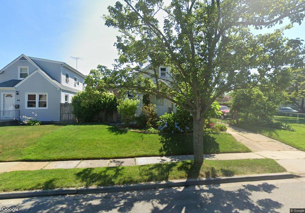
40 Lessing Place Freeport, NY 11520
Estimated Value: $589,071 - $606,000
--
Bed
2
Baths
1,242
Sq Ft
$481/Sq Ft
Est. Value
About This Home
This home is located at 40 Lessing Place, Freeport, NY 11520 and is currently estimated at $597,536, approximately $481 per square foot. 40 Lessing Place is a home located in Nassau County with nearby schools including Columbus Avenue School, Caroline G. Atkinson Intermediate School, and John W Dodd Middle School.
Ownership History
Date
Name
Owned For
Owner Type
Purchase Details
Closed on
Jun 6, 2013
Sold by
Portillo Luis A and Portillo Jose A
Bought by
Portillo Jose A and Portillo Maria A
Current Estimated Value
Purchase Details
Closed on
Nov 15, 1999
Sold by
South Wendell and South Myrtle
Bought by
Portillo Luis A and Portillo Jose A
Home Financials for this Owner
Home Financials are based on the most recent Mortgage that was taken out on this home.
Original Mortgage
$157,100
Interest Rate
7.77%
Mortgage Type
FHA
Create a Home Valuation Report for This Property
The Home Valuation Report is an in-depth analysis detailing your home's value as well as a comparison with similar homes in the area
Home Values in the Area
Average Home Value in this Area
Purchase History
| Date | Buyer | Sale Price | Title Company |
|---|---|---|---|
| Portillo Jose A | -- | -- | |
| Portillo Luis A | $160,000 | Lawyers Title Insurance Corp |
Source: Public Records
Mortgage History
| Date | Status | Borrower | Loan Amount |
|---|---|---|---|
| Previous Owner | Portillo Luis A | $157,100 |
Source: Public Records
Tax History Compared to Growth
Tax History
| Year | Tax Paid | Tax Assessment Tax Assessment Total Assessment is a certain percentage of the fair market value that is determined by local assessors to be the total taxable value of land and additions on the property. | Land | Improvement |
|---|---|---|---|---|
| 2025 | $8,452 | $392 | $145 | $247 |
| 2024 | $908 | $392 | $145 | $247 |
| 2023 | $9,269 | $392 | $145 | $247 |
| 2022 | $9,269 | $392 | $145 | $247 |
| 2021 | $14,551 | $376 | $139 | $237 |
| 2020 | $10,871 | $756 | $373 | $383 |
| 2019 | $1,254 | $756 | $373 | $383 |
| 2018 | $3,044 | $756 | $0 | $0 |
| 2017 | $9,098 | $756 | $373 | $383 |
| 2016 | $10,233 | $756 | $373 | $383 |
| 2015 | $1,092 | $756 | $343 | $413 |
| 2014 | $1,092 | $756 | $343 | $413 |
| 2013 | $1,032 | $756 | $373 | $383 |
Source: Public Records
Map
Nearby Homes
- 451 Babylon Turnpike
- 221 E Dean St
- 251 Grand Ave
- 173 E Seaman Ave
- 238 Babylon Turnpike
- 272 N Columbus Ave
- 259 N Columbus Ave
- 78 Jesse St
- 112 E Seaman Ave
- 182 Grand Ave
- 400 N Columbus Ave
- 101 Harris Ave
- 92 Leonard Ave
- 49 Elizabeth St
- 1938 Meadowbrook Rd
- 28 Cumberland Ave
- 6 Frederick Ave
- 98 N Columbus Ave
- 96 N Columbus Ave
- 1707 Carroll Ave
- 44 Lessing Place
- 267 E Seaman Ave
- 32 Lessing Place
- 269 E Seaman Ave
- 271 E Seaman Ave
- 261 E Seaman Ave
- 39 Lessing Place
- 51 Lessing Place
- 253 E Seaman Ave
- 24 Lessing Place
- 268 E Seaman Ave
- 110 Bedford Ave
- 272 E Seaman Ave
- 42 Utz St
- 254 E Seaman Ave
- 46 Utz St
- 276 E Seaman Ave
- 581 Babylon Turnpike
- 54 Utz St
- 241 E Seaman Ave