Estimated Value: $756,811 - $847,000
2
Beds
2
Baths
1,818
Sq Ft
$449/Sq Ft
Est. Value
About This Home
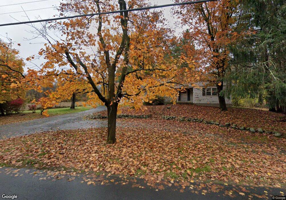
This home is located at 40 Liberty St, Acton, MA 01720 and is currently estimated at $815,953, approximately $448 per square foot. 40 Liberty St is a home located in Middlesex County with nearby schools including Acton-Boxborough Regional High School and Maynard Knowledge Beginnings.
Ownership History
Date
Name
Owned For
Owner Type
Purchase Details
Closed on
Aug 17, 1994
Sold by
Scorzoni John B and Scorzoni Ellen J
Bought by
Greenwald Jeffrey A
Current Estimated Value
Home Financials for this Owner
Home Financials are based on the most recent Mortgage that was taken out on this home.
Original Mortgage
$130,000
Interest Rate
8.61%
Mortgage Type
Purchase Money Mortgage
Create a Home Valuation Report for This Property
The Home Valuation Report is an in-depth analysis detailing your home's value as well as a comparison with similar homes in the area
Home Values in the Area
Average Home Value in this Area
Purchase History
| Date | Buyer | Sale Price | Title Company |
|---|---|---|---|
| Greenwald Jeffrey A | $215,500 | -- |
Source: Public Records
Mortgage History
| Date | Status | Borrower | Loan Amount |
|---|---|---|---|
| Open | Greenwald Jeffrey A | $81,000 | |
| Closed | Greenwald Jeffrey A | $130,000 | |
| Previous Owner | Greenwald Jeffrey A | $80,000 | |
| Previous Owner | Greenwald Jeffrey A | $92,000 |
Source: Public Records
Tax History
| Year | Tax Paid | Tax Assessment Tax Assessment Total Assessment is a certain percentage of the fair market value that is determined by local assessors to be the total taxable value of land and additions on the property. | Land | Improvement |
|---|---|---|---|---|
| 2025 | $11,480 | $669,400 | $370,700 | $298,700 |
| 2024 | $11,091 | $665,300 | $370,700 | $294,600 |
| 2023 | $10,596 | $603,400 | $337,400 | $266,000 |
| 2022 | $10,540 | $541,900 | $295,000 | $246,900 |
| 2021 | $10,091 | $498,800 | $274,200 | $224,600 |
| 2020 | $9,614 | $499,700 | $274,200 | $225,500 |
| 2019 | $9,214 | $475,700 | $274,200 | $201,500 |
| 2018 | $8,649 | $446,300 | $274,200 | $172,100 |
| 2017 | $8,506 | $446,300 | $274,200 | $172,100 |
| 2016 | $8,079 | $420,100 | $274,200 | $145,900 |
| 2015 | $8,033 | $421,700 | $274,200 | $147,500 |
| 2014 | $8,074 | $415,100 | $274,200 | $140,900 |
Source: Public Records
Map
Nearby Homes
- 71 Liberty St
- 19 Railroad St Unit D2
- 19 Railroad St Unit C2
- 131 Main St
- 129 Main St Unit 129
- 25 Nylander Way
- 40 High St
- 63 Conant St
- 2 Marble Farm Rd
- 30 Brewster Ln
- 70 River St
- 90 Willow St Unit 1
- 92 Willow St Unit 3
- 92 Willow St Unit 2
- 7 Kelley Rd
- 246 Main St Unit 2
- 6 Durant Ave
- 12 Brown St
- 12 Patti Ln
- 7 Hillcrest Dr
- 43C Liberty St Unit C 43
- 39 Liberty St
- 39 Liberty St Unit D
- 41 Liberty St
- 37 Liberty St
- 37 Liberty St Unit C
- 45 Liberty St
- 50 Liberty St
- 15 Robbins St
- 31 Liberty St
- 35 Liberty St
- 34 Liberty St
- 60 Liberty St
- 5 Robbins St
- 9 Robbins St
- 53 Liberty St
- 59 Liberty St
- 62 Liberty St
- 10 Robbins St
- 63 Liberty St
Your Personal Tour Guide
Ask me questions while you tour the home.