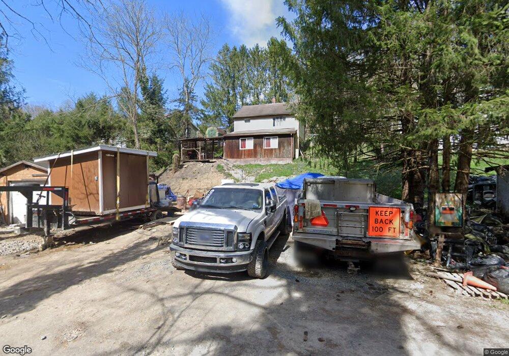
40 Lower Booth Rd Morgantown, WV 26501
Estimated Value: $68,000 - $107,000
2
Beds
1
Bath
1,248
Sq Ft
$75/Sq Ft
Est. Value
About This Home
This home is located at 40 Lower Booth Rd, Morgantown, WV 26501 and is currently estimated at $93,451, approximately $74 per square foot. 40 Lower Booth Rd is a home located in Monongalia County with nearby schools including Skyview Elementary School, Westwood Middle School, and University High School.
Ownership History
Date
Name
Owned For
Owner Type
Purchase Details
Closed on
Dec 7, 2006
Sold by
Boyles David E
Bought by
Groom David J and Groom Marcia A
Current Estimated Value
Home Financials for this Owner
Home Financials are based on the most recent Mortgage that was taken out on this home.
Original Mortgage
$57,500
Outstanding Balance
$34,164
Interest Rate
6.29%
Mortgage Type
New Conventional
Estimated Equity
$59,287
Create a Home Valuation Report for This Property
The Home Valuation Report is an in-depth analysis detailing your home's value as well as a comparison with similar homes in the area
Home Values in the Area
Average Home Value in this Area
Purchase History
| Date | Buyer | Sale Price | Title Company |
|---|---|---|---|
| Groom David J | $57,500 | None Available |
Source: Public Records
Mortgage History
| Date | Status | Borrower | Loan Amount |
|---|---|---|---|
| Open | Groom David J | $57,500 |
Source: Public Records
Tax History Compared to Growth
Tax History
| Year | Tax Paid | Tax Assessment Tax Assessment Total Assessment is a certain percentage of the fair market value that is determined by local assessors to be the total taxable value of land and additions on the property. | Land | Improvement |
|---|---|---|---|---|
| 2025 | $735 | $34,380 | $12,060 | $22,320 |
| 2024 | $735 | $34,380 | $12,060 | $22,320 |
| 2023 | $733 | $34,380 | $12,060 | $22,320 |
| 2022 | $696 | $33,960 | $12,060 | $21,900 |
| 2021 | $699 | $33,960 | $12,060 | $21,900 |
| 2020 | $703 | $33,960 | $12,060 | $21,900 |
| 2019 | $846 | $40,620 | $12,060 | $28,560 |
| 2018 | $849 | $40,620 | $12,060 | $28,560 |
| 2017 | $840 | $39,960 | $11,400 | $28,560 |
| 2016 | $882 | $41,700 | $10,500 | $31,200 |
| 2015 | $843 | $41,700 | $10,500 | $31,200 |
| 2014 | $393 | $40,800 | $10,080 | $30,720 |
Source: Public Records
Map
Nearby Homes
- 17 Brands Run Rd
- 316 Dye Ln
- 2455 River Rd
- TBD Glory Barn Rd
- 336 Gabbertville Rd
- 1021 Willis Dr
- TBD Master Graphics Rd
- 180 Union Church Hollow
- 8 Wapiti Ln
- 418 Dawson Rd
- 1307 Jamestown Dr
- 309 Dye Ln
- 322 Dye Ln
- 321 Dye Ln
- 330 Dye Ln
- 329 Dye Ln
- 735 Hardman Dr
- 331 Dye Ln
- 898 Ashton Place
- Penwell Plan at Woodside Ridge
- 56 Lower Booth Rd
- 12 Booth Rd
- 44 Lower Booth Rd
- 10 Shumiloff Ln
- 30 Lower Booth Rd
- 2020 River Rd
- 27 Kenneth Ln
- 31 Booth Rd
- 28 Lower Booth Rd
- 21 Kenneth Ln
- 2032 River Rd
- 62 Lower Booth Rd
- 43 Booth Rd
- 19 Kenneth Ln
- 34 Shumiloff Ln
- 2048 River Rd
- 2039 River Rd
- 1992 River Rd
- 40 Shumiloff Ln
- 43 Shumiloff Ln