40 Maltbie Rd Newtown, CT 06470
Estimated Value: $565,000 - $650,000
3
Beds
2
Baths
1,850
Sq Ft
$330/Sq Ft
Est. Value
About This Home
This home is located at 40 Maltbie Rd, Newtown, CT 06470 and is currently estimated at $609,597, approximately $329 per square foot. 40 Maltbie Rd is a home located in Fairfield County with nearby schools including Middle Gate Elementary School, Reed Intermediate School, and Newtown Middle School.
Ownership History
Date
Name
Owned For
Owner Type
Purchase Details
Closed on
Feb 18, 2022
Sold by
Russo Nicole M
Bought by
Tilbe Adam T
Current Estimated Value
Purchase Details
Closed on
Sep 8, 2010
Sold by
Fritz Lucia
Bought by
Tilbe Adam T and Russo Nicole M
Home Financials for this Owner
Home Financials are based on the most recent Mortgage that was taken out on this home.
Original Mortgage
$274,796
Interest Rate
4.5%
Mortgage Type
FHA
Create a Home Valuation Report for This Property
The Home Valuation Report is an in-depth analysis detailing your home's value as well as a comparison with similar homes in the area
Home Values in the Area
Average Home Value in this Area
Purchase History
| Date | Buyer | Sale Price | Title Company |
|---|---|---|---|
| Tilbe Adam T | -- | None Available | |
| Tilbe Adam T | -- | None Available | |
| Tilbe Adam T | $278,500 | -- | |
| Tilbe Adam T | $278,500 | -- |
Source: Public Records
Mortgage History
| Date | Status | Borrower | Loan Amount |
|---|---|---|---|
| Previous Owner | Tilbe Adam T | $274,796 |
Source: Public Records
Tax History Compared to Growth
Tax History
| Year | Tax Paid | Tax Assessment Tax Assessment Total Assessment is a certain percentage of the fair market value that is determined by local assessors to be the total taxable value of land and additions on the property. | Land | Improvement |
|---|---|---|---|---|
| 2025 | $9,687 | $337,070 | $138,770 | $198,300 |
| 2024 | $9,091 | $337,070 | $138,770 | $198,300 |
| 2023 | $8,845 | $337,070 | $138,770 | $198,300 |
| 2022 | $7,660 | $220,930 | $93,640 | $127,290 |
| 2021 | $7,655 | $220,930 | $93,640 | $127,290 |
| 2020 | $7,680 | $220,930 | $93,640 | $127,290 |
| 2019 | $7,682 | $220,930 | $93,640 | $127,290 |
| 2018 | $7,565 | $220,930 | $93,640 | $127,290 |
| 2017 | $7,220 | $213,170 | $102,490 | $110,680 |
| 2016 | $7,163 | $213,170 | $102,490 | $110,680 |
| 2015 | $7,050 | $213,170 | $102,490 | $110,680 |
| 2014 | $7,101 | $213,170 | $102,490 | $110,680 |
Source: Public Records
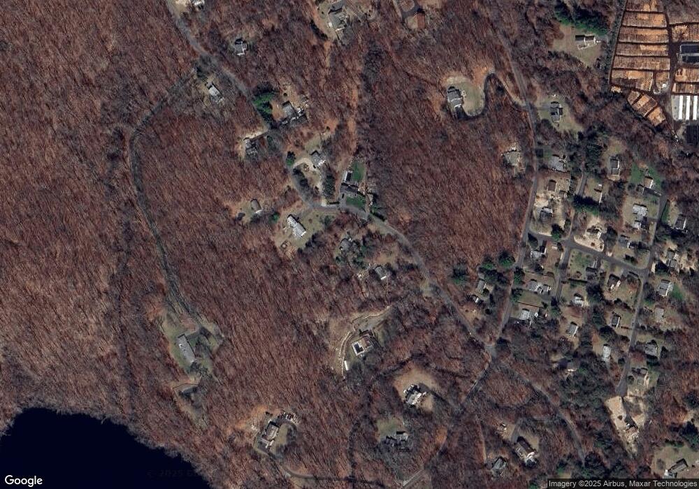
Map
Nearby Homes
- 19 Castle Meadow Rd
- 52 Aunt Park Ln
- 1 Hi Barlow Rd
- 34 Birchwood Rd
- 30 Hi Barlow Rd
- 26 100 Acres Rd
- 147 Brushy Hill Rd
- 22 Serene Way
- 10 Winton Farm Rd
- 162 Hattertown Rd
- 49 Quarter Horse Dr
- 20 Blanket Meadow Rd
- 17 Hundred Acres Rd
- 24 Pine Tree Hill Rd
- 9A Oak Ridge Dr
- 18 Sebastian Tr
- 9 Nicolina Way
- 5 Vona Way
- 271 Hattertown Rd
- 6 Vona Way
- 42 Maltbie Rd
- 38 Maltbie Rd
- 44 Maltbie Rd
- 36 Maltbie Rd
- 29 Maltbie Rd
- 27 Maltbie Rd
- 34 Maltbie Rd
- 14 Castle Meadow Rd
- 24 Castle Meadow Rd
- 30 Maltbie Rd
- 25 Maltbie Rd
- 28 Castle Meadow Rd
- 26 Castle Meadow Rd
- 12 Castle Meadow Rd
- 32 Maltbie Rd
- 27 Castle Meadow Rd
- 25 Castle Meadow Rd
- 23 Castle Meadow Rd
- 23 Maltbie Rd
- 21 Castle Meadow Rd