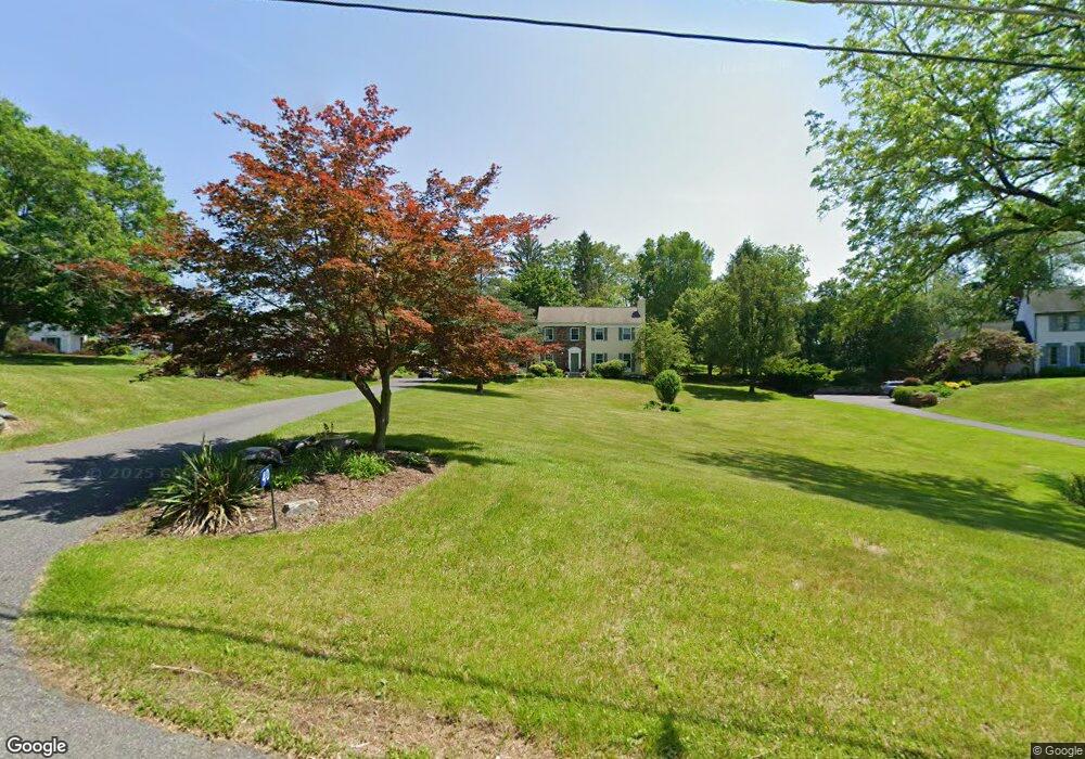
40 Maple Ln Blairstown, NJ 07825
Estimated Value: $546,660 - $634,000
--
Bed
--
Bath
2,578
Sq Ft
$234/Sq Ft
Est. Value
About This Home
This home is located at 40 Maple Ln, Blairstown, NJ 07825 and is currently estimated at $602,165, approximately $233 per square foot. 40 Maple Ln is a home located in Warren County with nearby schools including Blairstown Elementary School, North Warren Regional School, and Ridge & Valley Charter School.
Ownership History
Date
Name
Owned For
Owner Type
Purchase Details
Closed on
Jun 30, 2004
Sold by
Monico Michael T and Monico Joy M
Bought by
Merkle Jeffrey and Merkle Maryann
Current Estimated Value
Home Financials for this Owner
Home Financials are based on the most recent Mortgage that was taken out on this home.
Original Mortgage
$66,000
Outstanding Balance
$49,779
Interest Rate
6.32%
Mortgage Type
Credit Line Revolving
Estimated Equity
$552,386
Purchase Details
Closed on
May 31, 2001
Sold by
Fiore Robert V and Fiore Jodie M
Bought by
Monico Michael T and Mazzini Joy M
Home Financials for this Owner
Home Financials are based on the most recent Mortgage that was taken out on this home.
Original Mortgage
$228,000
Interest Rate
7.08%
Purchase Details
Closed on
Oct 24, 1997
Sold by
Highleyman Wilbur H
Bought by
Fiore Robert and Fiore Jodie M
Create a Home Valuation Report for This Property
The Home Valuation Report is an in-depth analysis detailing your home's value as well as a comparison with similar homes in the area
Home Values in the Area
Average Home Value in this Area
Purchase History
| Date | Buyer | Sale Price | Title Company |
|---|---|---|---|
| Merkle Jeffrey | $420,000 | -- | |
| Monico Michael T | $285,000 | Lawyers Title Insurance Corp | |
| Fiore Robert | $90,000 | -- |
Source: Public Records
Mortgage History
| Date | Status | Borrower | Loan Amount |
|---|---|---|---|
| Open | Merkle Jeffrey | $66,000 | |
| Previous Owner | Monico Michael T | $228,000 |
Source: Public Records
Tax History Compared to Growth
Tax History
| Year | Tax Paid | Tax Assessment Tax Assessment Total Assessment is a certain percentage of the fair market value that is determined by local assessors to be the total taxable value of land and additions on the property. | Land | Improvement |
|---|---|---|---|---|
| 2025 | $10,547 | $340,100 | $95,200 | $244,900 |
| 2024 | $9,802 | $340,100 | $95,200 | $244,900 |
| 2023 | $9,601 | $340,100 | $95,200 | $244,900 |
| 2022 | $9,601 | $340,100 | $95,200 | $244,900 |
| 2021 | $8,710 | $340,100 | $95,200 | $244,900 |
| 2020 | $8,407 | $340,100 | $95,200 | $244,900 |
| 2019 | $7,822 | $340,100 | $95,200 | $244,900 |
| 2018 | $7,822 | $340,100 | $95,200 | $244,900 |
| 2017 | $7,850 | $340,100 | $95,200 | $244,900 |
| 2016 | $7,877 | $340,100 | $95,200 | $244,900 |
| 2015 | $7,741 | $340,100 | $95,200 | $244,900 |
| 2014 | $7,591 | $340,100 | $95,200 | $244,900 |
Source: Public Records
Map
Nearby Homes
- 5 Bingham Ln
- 14 Cedarville Rd
- 80 Mohican Rd
- 1 Four Corners Rd
- 89 Millbrook Rd
- 85 Mohican Rd
- 12 Jones Ln
- 17 Bear Cave Rd
- 17 High St
- 32 High St
- 16 Stillwater Rd
- 6 Main St
- 39 Stillwater Rd
- 190 #9 US Highway 46
- 42 Gaisler Rd
- 34 Stony Brook Rd
- 163 New Jersey 94
- 49 Spring Valley Rd
- 18 New Jersey 94
- 42C Spring Valley Rd