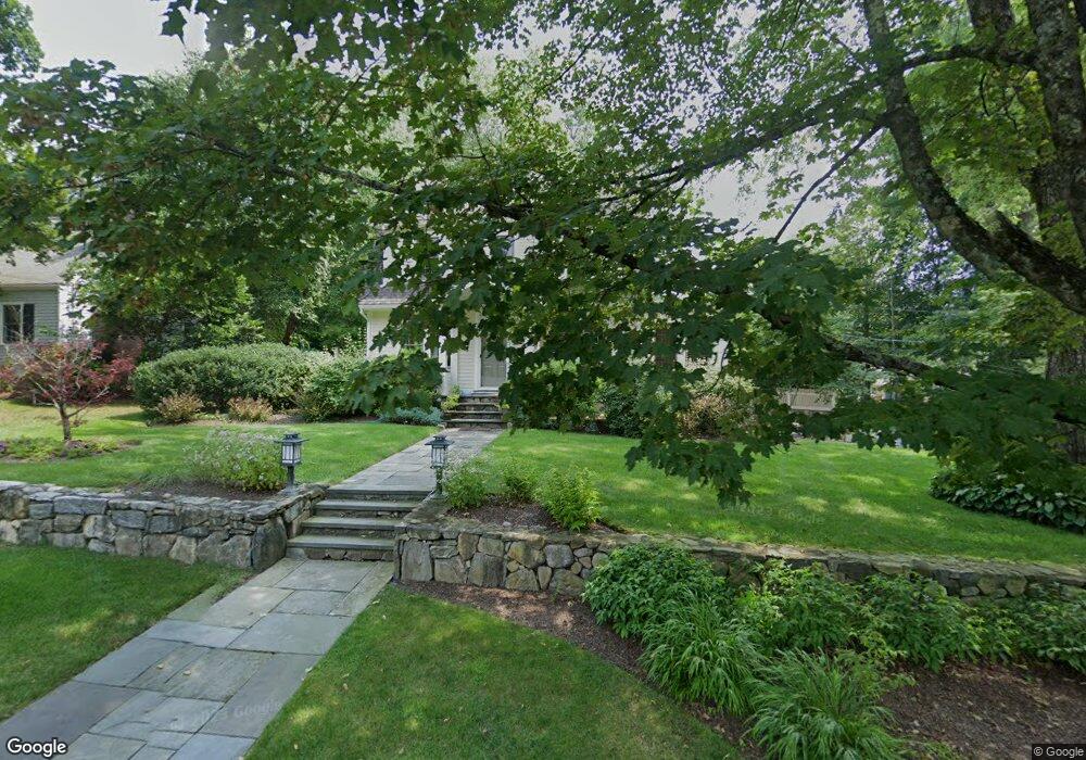
40 Massasoit Ave Sudbury, MA 01776
Estimated Value: $875,000 - $1,320,000
3
Beds
3
Baths
2,442
Sq Ft
$466/Sq Ft
Est. Value
About This Home
This home is located at 40 Massasoit Ave, Sudbury, MA 01776 and is currently estimated at $1,137,296, approximately $465 per square foot. 40 Massasoit Ave is a home located in Middlesex County with nearby schools including Israel Loring Elementary School, Ephraim Curtis Middle School, and Lincoln-Sudbury Regional High School.
Ownership History
Date
Name
Owned For
Owner Type
Purchase Details
Closed on
Oct 21, 1999
Sold by
Berckman Francis J and Berckman Myrtle K
Bought by
Costa Nelson J and Costa Lori A
Current Estimated Value
Create a Home Valuation Report for This Property
The Home Valuation Report is an in-depth analysis detailing your home's value as well as a comparison with similar homes in the area
Home Values in the Area
Average Home Value in this Area
Purchase History
| Date | Buyer | Sale Price | Title Company |
|---|---|---|---|
| Costa Nelson J | $338,000 | -- |
Source: Public Records
Mortgage History
| Date | Status | Borrower | Loan Amount |
|---|---|---|---|
| Closed | Costa Nelson J | $225,000 | |
| Closed | Costa Nelson J | $258,000 | |
| Closed | Costa Nelson J | $265,000 |
Source: Public Records
Tax History Compared to Growth
Tax History
| Year | Tax Paid | Tax Assessment Tax Assessment Total Assessment is a certain percentage of the fair market value that is determined by local assessors to be the total taxable value of land and additions on the property. | Land | Improvement |
|---|---|---|---|---|
| 2025 | $14,204 | $970,200 | $373,000 | $597,200 |
| 2024 | $13,688 | $936,900 | $362,100 | $574,800 |
| 2023 | $12,886 | $817,100 | $335,300 | $481,800 |
| 2022 | $12,252 | $678,800 | $307,700 | $371,100 |
| 2021 | $11,661 | $619,300 | $307,700 | $311,600 |
| 2020 | $11,426 | $619,300 | $307,700 | $311,600 |
| 2019 | $11,092 | $619,300 | $307,700 | $311,600 |
| 2018 | $10,986 | $612,700 | $328,100 | $284,600 |
| 2017 | $10,539 | $594,100 | $312,200 | $281,900 |
| 2016 | $10,199 | $573,000 | $300,300 | $272,700 |
| 2015 | $9,786 | $556,000 | $288,700 | $267,300 |
| 2014 | $9,774 | $542,100 | $280,200 | $261,900 |
Source: Public Records
Map
Nearby Homes
- 23 Massasoit Ave
- 36 Concord Rd
- 94 Goodmans Hill Rd
- 1011 Boston Post Rd
- 216 Landham Rd
- 270 Old Lancaster Rd
- 6 Old County Rd Unit 16
- 89 Bridle Path
- 24 Woodland Rd
- 128 Nobscot Rd
- 84 Hopestill Brown Rd
- 0 Wagonwheel Rd
- 25 Bridle Path
- 7 Adams Rd
- 63 Landham Rd
- 23 Cider Mill Rd
- 0 Robbins Rd
- 30 Nobscot Rd Unit 14
- 12 Hickory Rd
- 91 Eaton Rd W
- 42 Massasoit Ave
- 39 Massasoit Ave
- 45 Massasoit Ave
- 32 Massasoit Ave
- 14 Bradley Place
- 46 Massasoit Ave
- 33 Massasoit Ave
- 11 Bradley Place
- 11 Allen Place
- 29 Massasoit Ave
- 49 Massasoit Ave
- 7 Bradley Place
- 18 Allen Place
- 30 Church St
- 6 Bradley Place
- 9 Allen Place
- 10 Allen Place
- 28 Church St
- 34 Church St
- 55 Massasoit Ave