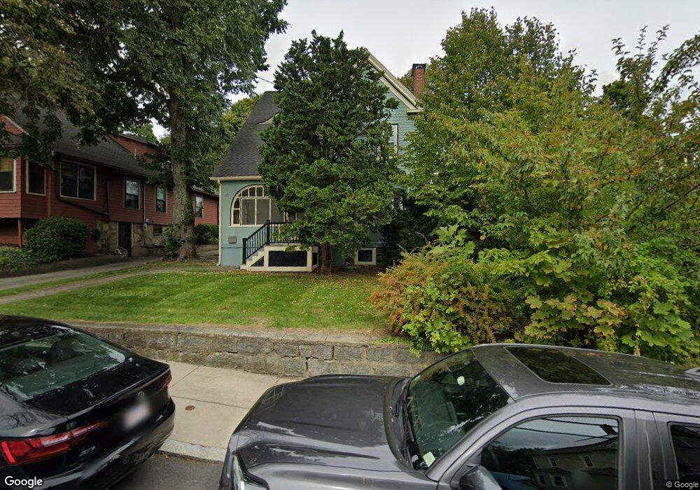
40 Montclair Ave West Roxbury, MA 02132
West Roxbury NeighborhoodEstimated Value: $997,000 - $1,327,000
4
Beds
3
Baths
2,491
Sq Ft
$471/Sq Ft
Est. Value
About This Home
This home is located at 40 Montclair Ave, West Roxbury, MA 02132 and is currently estimated at $1,173,432, approximately $471 per square foot. 40 Montclair Ave is a home located in Suffolk County with nearby schools including Brooke Charter School Roslindale, Holy Name Parish School, and St. Clare High School.
Ownership History
Date
Name
Owned For
Owner Type
Purchase Details
Closed on
May 24, 2010
Sold by
Finnan Aidan and Thall Carolyn
Bought by
Keyser William and Oconnor Eileen
Current Estimated Value
Home Financials for this Owner
Home Financials are based on the most recent Mortgage that was taken out on this home.
Original Mortgage
$473,500
Outstanding Balance
$318,609
Interest Rate
5.13%
Mortgage Type
Adjustable Rate Mortgage/ARM
Estimated Equity
$854,823
Purchase Details
Closed on
Jul 2, 2004
Sold by
Garfinkel Donna M and Garfinkel Phillip H
Bought by
Finnan Aidan and Thall Carolyn
Home Financials for this Owner
Home Financials are based on the most recent Mortgage that was taken out on this home.
Original Mortgage
$225,000
Interest Rate
6.3%
Mortgage Type
Purchase Money Mortgage
Create a Home Valuation Report for This Property
The Home Valuation Report is an in-depth analysis detailing your home's value as well as a comparison with similar homes in the area
Home Values in the Area
Average Home Value in this Area
Purchase History
| Date | Buyer | Sale Price | Title Company |
|---|---|---|---|
| Keyser William | $592,000 | -- | |
| Finnan Aidan | $540,000 | -- |
Source: Public Records
Mortgage History
| Date | Status | Borrower | Loan Amount |
|---|---|---|---|
| Open | Keyser William | $473,500 | |
| Previous Owner | Finnan Aidan | $225,000 |
Source: Public Records
Tax History Compared to Growth
Tax History
| Year | Tax Paid | Tax Assessment Tax Assessment Total Assessment is a certain percentage of the fair market value that is determined by local assessors to be the total taxable value of land and additions on the property. | Land | Improvement |
|---|---|---|---|---|
| 2025 | $11,764 | $1,015,900 | $276,100 | $739,800 |
| 2024 | $10,813 | $992,000 | $259,900 | $732,100 |
| 2023 | $10,144 | $944,500 | $247,400 | $697,100 |
| 2022 | $9,424 | $866,200 | $226,900 | $639,300 |
| 2021 | $8,771 | $822,000 | $218,200 | $603,800 |
| 2020 | $7,897 | $747,800 | $197,700 | $550,100 |
| 2019 | $7,413 | $703,300 | $167,700 | $535,600 |
| 2018 | $6,660 | $635,500 | $167,700 | $467,800 |
| 2017 | $6,661 | $629,000 | $167,700 | $461,300 |
| 2016 | $6,467 | $587,900 | $167,700 | $420,200 |
| 2015 | $6,977 | $576,100 | $167,800 | $408,300 |
| 2014 | $6,372 | $506,500 | $170,200 | $336,300 |
Source: Public Records
Map
Nearby Homes
- 26 Bradfield Ave Unit 3
- 257 Belgrade Ave
- 311 Belgrade Ave
- 10 Burwell Rd
- 242 Belgrade Ave
- 87 Knoll St
- 15 Newburg St Unit 1
- 24 Hazelmere Rd
- 79 Robert St Unit 3
- 95 Newburg St
- 17 Metcalf St
- 103 Belgrade Ave Unit 2
- 416 Belgrade Ave Unit 25
- 104 Greaton Rd
- 10 Hackensack Terrace
- 15 S Fairview St Unit 3
- 80 Roslindale Ave Unit 3
- 112 Roslindale Ave Unit 2
- 214 Allandale Rd Unit B
- 2 Weld Hill St Unit PH2
- 44 Montclair Ave
- 38 Montclair Ave
- 34 Montclair Ave
- 50 Montclair Ave
- 48 Cerdan Ave
- 46 Cerdan Ave
- 46 Cerdan Ave
- 46 Cerdan Ave Unit 46
- 46 Cerdan Ave Unit 1
- 50 Cerdan Ave
- 47 Montclair Ave
- 44 Cerdan Ave
- 39 Montclair Ave
- 43 Montclair Ave
- 35 Montclair Ave
- 52 Cerdan Ave
- 30 Montclair Ave
- 33 Montclair Ave
- 58 Montclair Ave
- 42 Cerdan Ave