40 Namas Ave Oak Bluffs, MA 02557
Oak Bluffs NeighborhoodEstimated Value: $2,184,000 - $3,801,000
4
Beds
3
Baths
1,605
Sq Ft
$1,742/Sq Ft
Est. Value
About This Home
This home is located at 40 Namas Ave, Oak Bluffs, MA 02557 and is currently estimated at $2,795,531, approximately $1,741 per square foot. 40 Namas Ave is a home with nearby schools including Oak Bluffs Elementary School, Martha's Vineyard Regional High School, and Vineyard Montessori School.
Ownership History
Date
Name
Owned For
Owner Type
Purchase Details
Closed on
Jan 22, 2010
Sold by
Kirwan-Dowley Elizabeth
Bought by
Shepard J Powers and Shepard Jeanna P
Current Estimated Value
Home Financials for this Owner
Home Financials are based on the most recent Mortgage that was taken out on this home.
Original Mortgage
$525,000
Outstanding Balance
$341,883
Interest Rate
4.79%
Mortgage Type
Purchase Money Mortgage
Estimated Equity
$2,453,648
Create a Home Valuation Report for This Property
The Home Valuation Report is an in-depth analysis detailing your home's value as well as a comparison with similar homes in the area
Home Values in the Area
Average Home Value in this Area
Purchase History
| Date | Buyer | Sale Price | Title Company |
|---|---|---|---|
| Shepard J Powers | $1,300,000 | -- |
Source: Public Records
Mortgage History
| Date | Status | Borrower | Loan Amount |
|---|---|---|---|
| Open | Shepard J Powers | $525,000 |
Source: Public Records
Tax History Compared to Growth
Tax History
| Year | Tax Paid | Tax Assessment Tax Assessment Total Assessment is a certain percentage of the fair market value that is determined by local assessors to be the total taxable value of land and additions on the property. | Land | Improvement |
|---|---|---|---|---|
| 2025 | $12,258 | $2,427,400 | $1,922,400 | $505,000 |
| 2024 | $11,794 | $2,255,000 | $1,747,000 | $508,000 |
| 2023 | $11,291 | $2,138,400 | $1,697,500 | $440,900 |
| 2022 | $11,107 | $1,635,800 | $1,285,500 | $350,300 |
| 2021 | $10,757 | $1,459,600 | $1,125,800 | $333,800 |
| 2020 | $10,281 | $1,381,900 | $1,071,500 | $310,400 |
| 2019 | $10,321 | $1,342,100 | $1,037,500 | $304,600 |
| 2018 | $10,031 | $1,281,100 | $975,300 | $305,800 |
| 2017 | $10,445 | $1,281,600 | $1,010,600 | $271,000 |
| 2016 | $10,172 | $1,254,300 | $1,041,800 | $212,500 |
| 2015 | $9,821 | $1,233,800 | $1,041,800 | $192,000 |
| 2014 | $9,984 | $1,278,400 | $1,074,700 | $203,700 |
Source: Public Records
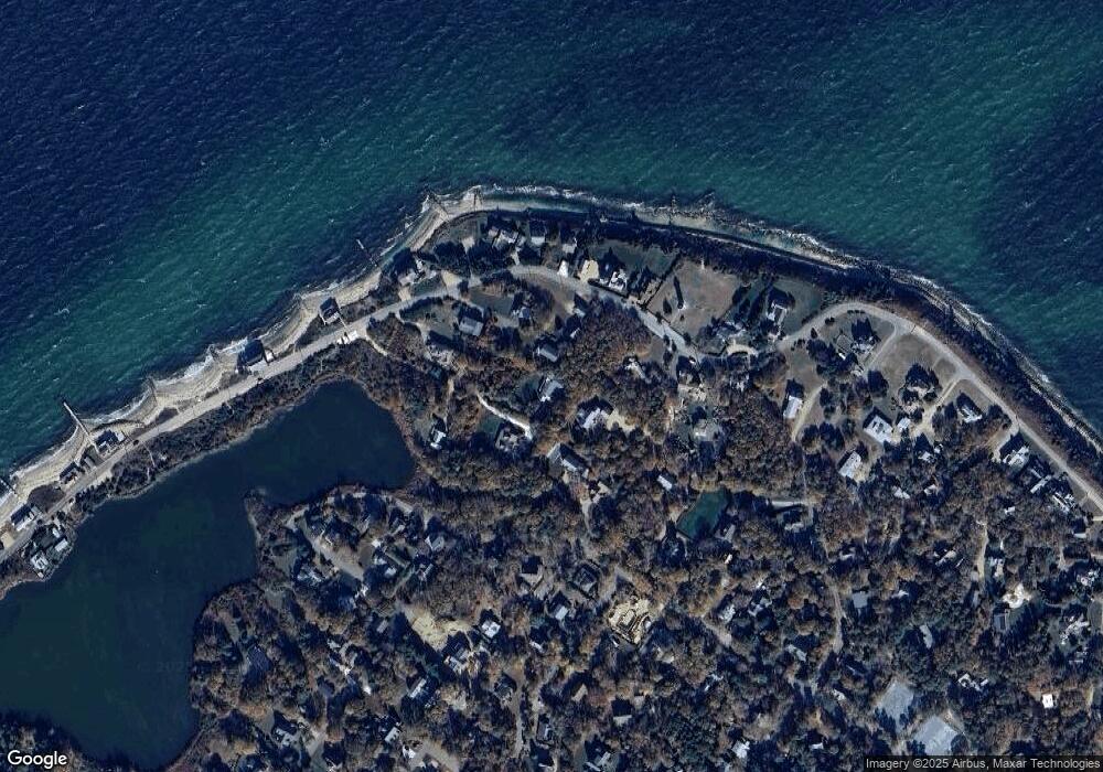
Map
Nearby Homes
- 6 Brewster Ave
- 16 Atlantic Ave
- 311 E Chop Dr
- 150 E Chop Dr
- 5 Temahigan Ave Unit 4-139-0
- 71 Netock Ave
- 17 John Wesley Ave
- 47 Winemack St
- 12 & 14 Maple Ave
- 47 E Chop Dr Unit 4
- 47 E Chop Dr Unit 2
- 47 E Chop Dr Unit 3
- 47 E Chop Dr Unit 1
- 47 E Chop Dr
- 47 E Chop Dr Unit 5
- 47 E East Chop Dr Unit 5
- 23 Laurel Ave
- 0 Eastville Ave Unit 147.2 / 3 / 4 / 5 /6