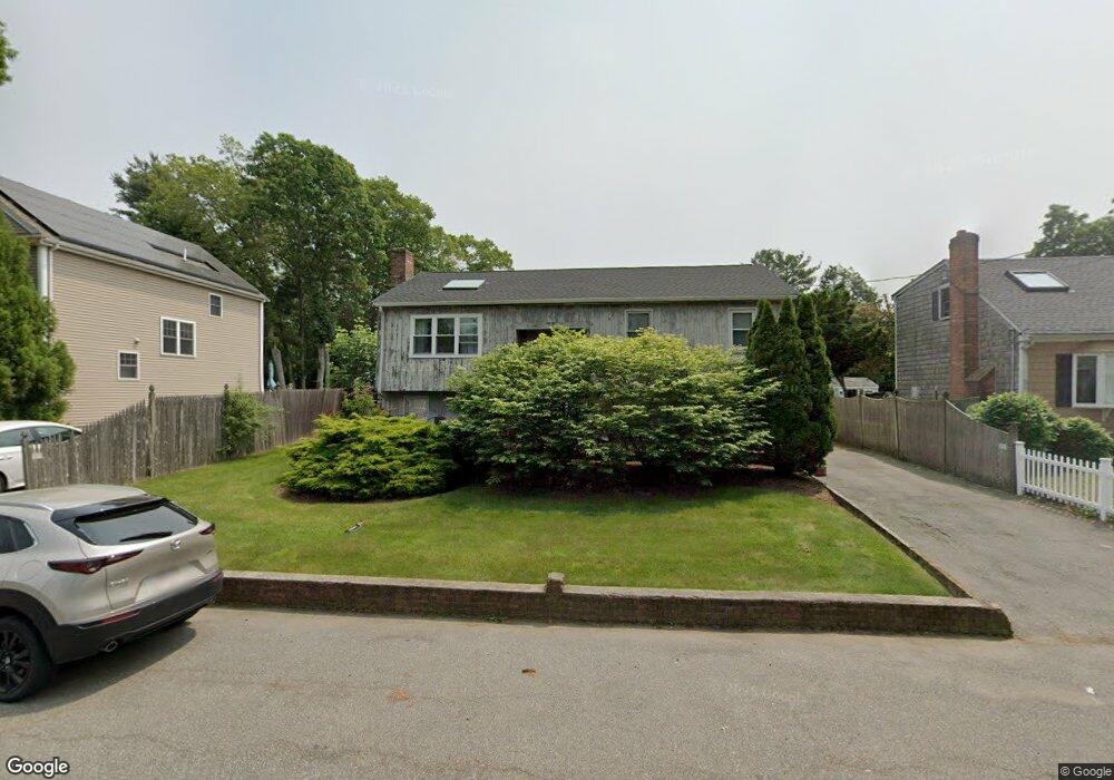
40 Noyes Ave Brockton, MA 02301
Clifton Heights NeighborhoodEstimated Value: $500,000 - $571,000
3
Beds
2
Baths
1,506
Sq Ft
$358/Sq Ft
Est. Value
About This Home
This home is located at 40 Noyes Ave, Brockton, MA 02301 and is currently estimated at $539,617, approximately $358 per square foot. 40 Noyes Ave is a home located in Plymouth County with nearby schools including John F. Kennedy Elementary School, Davis K-8 School, and South Middle School.
Ownership History
Date
Name
Owned For
Owner Type
Purchase Details
Closed on
Nov 13, 1998
Sold by
Desousa Manuel M and Desousa Ecilda C
Bought by
Downing Michael D and Downing Brenda
Current Estimated Value
Home Financials for this Owner
Home Financials are based on the most recent Mortgage that was taken out on this home.
Original Mortgage
$134,550
Interest Rate
6.65%
Mortgage Type
Purchase Money Mortgage
Create a Home Valuation Report for This Property
The Home Valuation Report is an in-depth analysis detailing your home's value as well as a comparison with similar homes in the area
Home Values in the Area
Average Home Value in this Area
Purchase History
| Date | Buyer | Sale Price | Title Company |
|---|---|---|---|
| Downing Michael D | $149,500 | -- |
Source: Public Records
Mortgage History
| Date | Status | Borrower | Loan Amount |
|---|---|---|---|
| Open | Downing Michael D | $246,000 | |
| Closed | Downing Michael D | $171,000 | |
| Closed | Downing Michael D | $26,500 | |
| Closed | Downing Michael D | $134,550 |
Source: Public Records
Tax History Compared to Growth
Tax History
| Year | Tax Paid | Tax Assessment Tax Assessment Total Assessment is a certain percentage of the fair market value that is determined by local assessors to be the total taxable value of land and additions on the property. | Land | Improvement |
|---|---|---|---|---|
| 2025 | $6,418 | $530,000 | $138,800 | $391,200 |
| 2024 | $6,131 | $510,100 | $138,800 | $371,300 |
| 2023 | $5,851 | $450,800 | $103,300 | $347,500 |
| 2022 | $5,088 | $364,200 | $93,900 | $270,300 |
| 2021 | $4,815 | $332,100 | $77,800 | $254,300 |
| 2020 | $4,675 | $308,600 | $73,100 | $235,500 |
| 2019 | $4,280 | $275,400 | $71,100 | $204,300 |
| 2018 | $4,386 | $273,100 | $71,100 | $202,000 |
| 2017 | $4,075 | $253,100 | $71,100 | $182,000 |
| 2016 | $3,692 | $212,700 | $68,900 | $143,800 |
| 2015 | $3,882 | $213,900 | $68,900 | $145,000 |
| 2014 | $3,713 | $204,800 | $68,900 | $135,900 |
Source: Public Records
Map
Nearby Homes
- 47 Southworth St
- 358 Copeland St
- 115 Market St
- 35 Longworth Ave Unit 17
- 15 Longworth Ave Unit 231
- 137 Channing Ave
- 65 Tremont St
- 15 Fieldstone Dr
- 176 Ettrick St
- 13 Finny's Way
- 1036 Ash St
- 977 Warren Ave
- 56 Cottage Grove Ave
- 223 Clinton St Unit 10
- 223 Clinton St Unit 3
- 37 Menlo Ave
- 153 Bouve Ave
- 936 Warren Ave
- 163 S Leyden St
- 115 Ettrick St