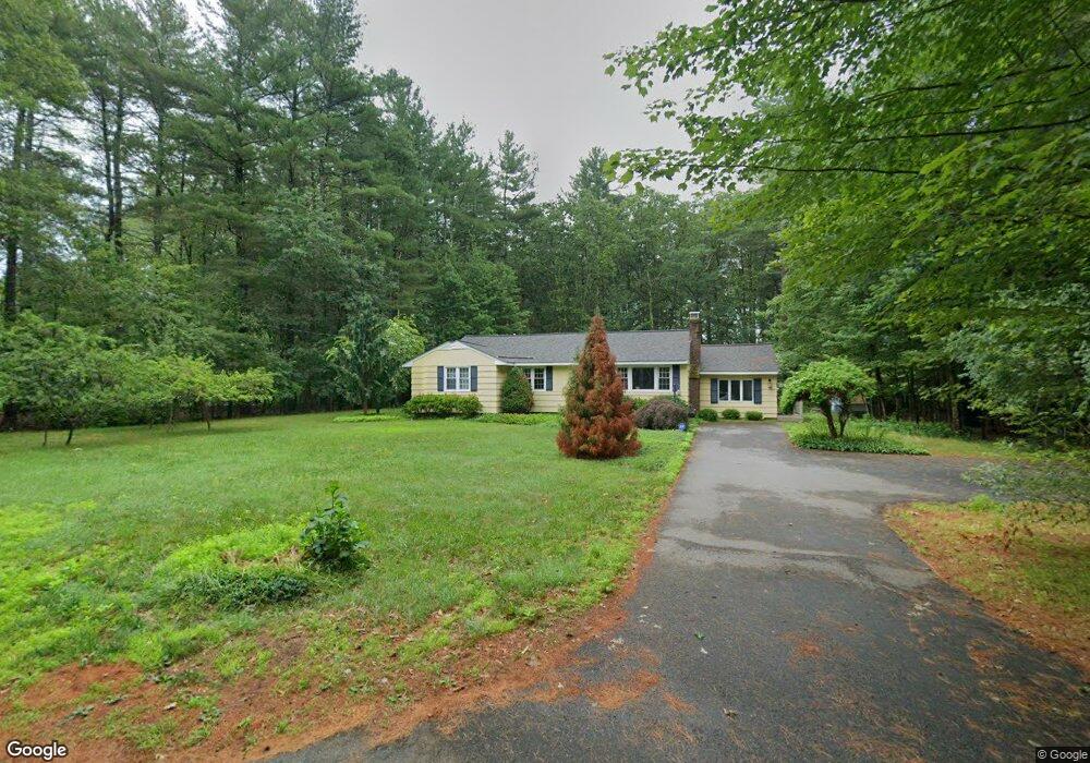
40 Nutting Rd Unit A Westford, MA 01886
Estimated Value: $880,000 - $973,000
4
Beds
4
Baths
2,468
Sq Ft
$375/Sq Ft
Est. Value
About This Home
This home is located at 40 Nutting Rd Unit A, Westford, MA 01886 and is currently estimated at $925,775, approximately $375 per square foot. 40 Nutting Rd Unit A is a home located in Middlesex County with nearby schools including Nabnasset Elementary, Abbot Elementary School, and Stony Brook School.
Ownership History
Date
Name
Owned For
Owner Type
Purchase Details
Closed on
Jul 10, 2024
Sold by
Preiss Joseph A and Preiss Karen
Bought by
Joseph A Preiss Ii Lt and Preiss
Current Estimated Value
Purchase Details
Closed on
Apr 16, 1992
Sold by
Betmilsen Iv Inc
Bought by
Preiss Joseph and Preiss Karen
Create a Home Valuation Report for This Property
The Home Valuation Report is an in-depth analysis detailing your home's value as well as a comparison with similar homes in the area
Home Values in the Area
Average Home Value in this Area
Purchase History
| Date | Buyer | Sale Price | Title Company |
|---|---|---|---|
| Joseph A Preiss Ii Lt | -- | None Available | |
| Joseph A Preiss Ii Lt | -- | None Available | |
| Preiss Joseph | $65,001 | -- | |
| Preiss Joseph | $65,001 | -- |
Source: Public Records
Mortgage History
| Date | Status | Borrower | Loan Amount |
|---|---|---|---|
| Previous Owner | Preiss Joseph | $301,000 |
Source: Public Records
Tax History Compared to Growth
Tax History
| Year | Tax Paid | Tax Assessment Tax Assessment Total Assessment is a certain percentage of the fair market value that is determined by local assessors to be the total taxable value of land and additions on the property. | Land | Improvement |
|---|---|---|---|---|
| 2025 | $11,223 | $833,200 | $315,000 | $518,200 |
| 2024 | $10,987 | $797,900 | $300,000 | $497,900 |
| 2023 | $10,887 | $737,600 | $285,800 | $451,800 |
| 2022 | $11,215 | $695,700 | $249,900 | $445,800 |
| 2021 | $10,413 | $625,800 | $249,900 | $375,900 |
| 2020 | $10,265 | $628,600 | $249,900 | $378,700 |
| 2019 | $9,972 | $602,200 | $249,900 | $352,300 |
| 2018 | $9,569 | $591,400 | $239,100 | $352,300 |
| 2017 | $9,014 | $549,300 | $239,100 | $310,200 |
| 2016 | $8,774 | $538,300 | $225,400 | $312,900 |
| 2015 | $8,760 | $539,400 | $225,400 | $314,000 |
| 2014 | $8,766 | $528,100 | $216,100 | $312,000 |
Source: Public Records
Map
Nearby Homes
- 3 Blue Heron Dr
- 16 Shipley Cir
- 6 Lady Constance Way
- 6 Lady Constance Way Unit 21
- 4 Lady Constance Way Unit 20
- Copley Plan at Wendell Place
- Williamstown Plan at Wendell Place
- 5 Fawn Rd
- 2 Lady Constance Way Unit 19
- 2 Wendell Place Unit 1
- 6 Plain Rd
- 239 Groton Rd
- 8 Loon Way
- 9 Loon Way
- 3 Loon Way
- 55 Lawson Rd
- 2 Alder Point Unit 2
- 14 Fletcher Rd
- 18 Fletcher Rd
- 7 Heywood Rd
- 40 Nutting Rd Unit B
- 40b Nutting Rd
- 117 Depot St
- 42 Nutting Rd
- 2 Riley Rd
- 121 Depot St
- 4 Riley Rd
- 3 Riley Rd Unit 2
- 7 Riley Rd Unit 4
- 9 Riley Rd Unit 5
- 118 Depot St
- 116 Depot St
- 1 Riley Rd
- 51 Riley Rd Unit 26
- 43 Riley Rd Unit 22
- 35 Riley Rd Unit 18
- 25 Riley Rd Unit 13
- 31 Riley Rd Unit 16
- 17 Riley Rd Unit 66
- 27 Riley Rd Unit 14