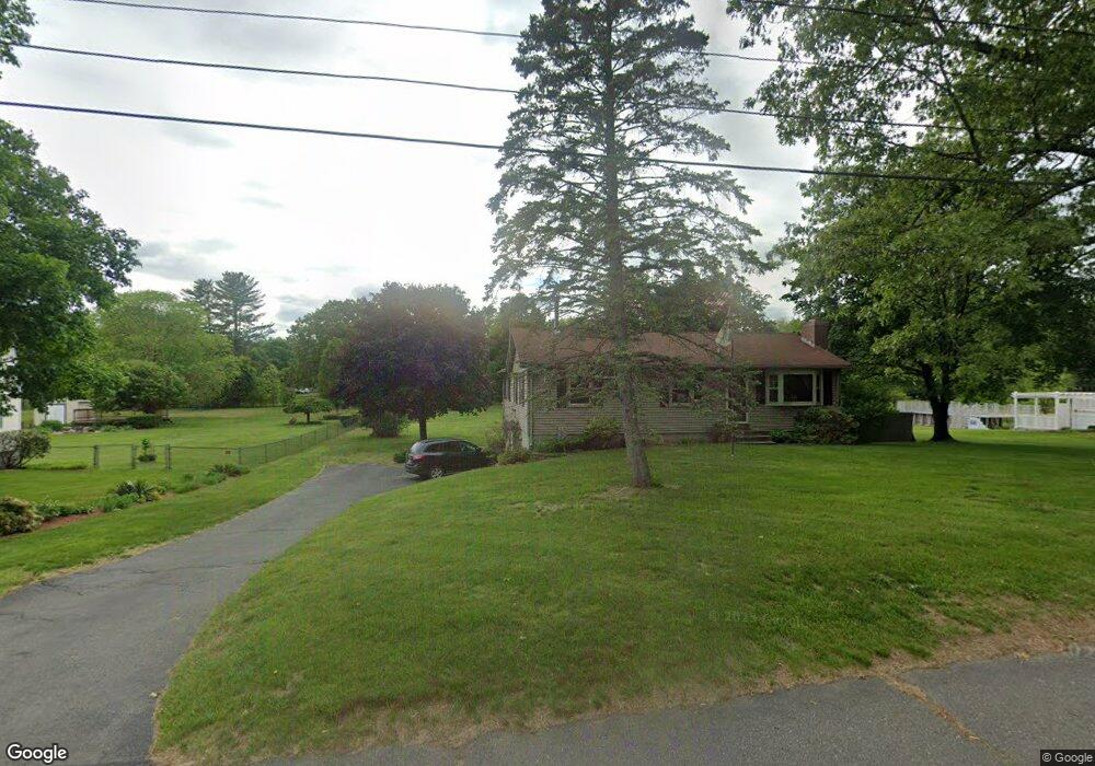
40 Patterson St Westfield, MA 01085
Estimated Value: $366,000 - $409,000
4
Beds
2
Baths
1,240
Sq Ft
$310/Sq Ft
Est. Value
About This Home
This home is located at 40 Patterson St, Westfield, MA 01085 and is currently estimated at $383,981, approximately $309 per square foot. 40 Patterson St is a home located in Hampden County with nearby schools including Westfield High School and Saint Mary High School.
Ownership History
Date
Name
Owned For
Owner Type
Purchase Details
Closed on
Jun 15, 1994
Sold by
Boyer Richard G and Boyer Kathleen B
Bought by
Hamel Dennis R and Hamel Mary A
Current Estimated Value
Purchase Details
Closed on
Apr 29, 1988
Sold by
Hinkel Ronald G
Bought by
Boyer Richard G
Create a Home Valuation Report for This Property
The Home Valuation Report is an in-depth analysis detailing your home's value as well as a comparison with similar homes in the area
Home Values in the Area
Average Home Value in this Area
Purchase History
| Date | Buyer | Sale Price | Title Company |
|---|---|---|---|
| Hamel Dennis R | $124,000 | -- | |
| Boyer Richard G | $131,900 | -- |
Source: Public Records
Mortgage History
| Date | Status | Borrower | Loan Amount |
|---|---|---|---|
| Open | Boyer Richard G | $118,500 | |
| Closed | Boyer Richard G | $22,500 | |
| Closed | Boyer Richard G | $94,000 |
Source: Public Records
Tax History Compared to Growth
Tax History
| Year | Tax Paid | Tax Assessment Tax Assessment Total Assessment is a certain percentage of the fair market value that is determined by local assessors to be the total taxable value of land and additions on the property. | Land | Improvement |
|---|---|---|---|---|
| 2025 | $4,783 | $315,100 | $124,800 | $190,300 |
| 2024 | $4,850 | $303,700 | $113,400 | $190,300 |
| 2023 | $4,613 | $281,500 | $107,600 | $173,900 |
| 2022 | $4,613 | $249,500 | $95,900 | $153,600 |
| 2021 | $4,473 | $236,900 | $90,700 | $146,200 |
| 2020 | $4,556 | $236,700 | $90,700 | $146,000 |
| 2019 | $4,453 | $226,400 | $86,400 | $140,000 |
| 2018 | $4,383 | $226,400 | $86,400 | $140,000 |
| 2017 | $4,292 | $221,000 | $87,500 | $133,500 |
| 2016 | $4,296 | $221,000 | $87,500 | $133,500 |
| 2015 | $4,159 | $224,300 | $87,500 | $136,800 |
| 2014 | $3,110 | $224,300 | $87,500 | $136,800 |
Source: Public Records
Map
Nearby Homes
- 69 Beveridge Blvd
- 150 Hillside Rd Unit 11
- 44 Governor Dr
- 57 Jessie Ln
- 386 Hillside Rd
- 82 S Maple St Unit 11
- 74 S Maple St
- 70 S Maple St
- 76 Rosewood Ln
- 22 Rosewood Ln
- 42 Rosewood Ln
- 70-74 S Maple St
- 128 Crane Ave
- 112 Sunnyside Rd
- 78 Granville Rd Unit 11
- 1037 Shaker Rd
- 23 Hancock St
- 240 Hillside Rd
- 16 Yale St
- 451 Falley Dr
- 50 Patterson St
- 27 Patterson St
- 51 Southgate Ave
- 18 Patterson St
- 60 Patterson St
- 46 Southgate Ave
- 19 Patterson St
- 61 Patterson St
- 41 Southgate Ave
- 46 Phillip Ave
- 8 Patterson St
- 40 Southgate Ave
- 70 Patterson St
- 122 Hillside Rd
- 57 Beveridge Blvd
- 63 Beveridge Blvd
- 100 Hillside Rd
- 40 Phillip Ave
- 54 Grenier Dr
- 54 Grenier Dr