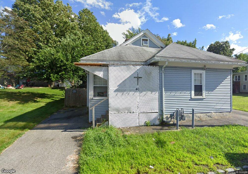
40 Pearl St Unit 42 Lawrence, MA 01841
Tower Hill NeighborhoodEstimated Value: $473,000 - $662,000
4
Beds
2
Baths
1,396
Sq Ft
$421/Sq Ft
Est. Value
About This Home
This home is located at 40 Pearl St Unit 42, Lawrence, MA 01841 and is currently estimated at $587,812, approximately $421 per square foot. 40 Pearl St Unit 42 is a home located in Essex County with nearby schools including Olive Branch Elementary School, Gerard A. Guilmette School, and School For Exceptional Studies.
Ownership History
Date
Name
Owned For
Owner Type
Purchase Details
Closed on
Apr 26, 2011
Sold by
Bartles Ronald L
Bought by
Bartles Ronald L and Macghie Catherine M
Current Estimated Value
Purchase Details
Closed on
Oct 7, 1998
Sold by
Coolidge Helen R
Bought by
Bartles Ronald J
Home Financials for this Owner
Home Financials are based on the most recent Mortgage that was taken out on this home.
Original Mortgage
$90,000
Interest Rate
6.92%
Mortgage Type
Purchase Money Mortgage
Purchase Details
Closed on
Jul 29, 1987
Sold by
Moschetto Salvatore
Bought by
Coolidge Helen R
Home Financials for this Owner
Home Financials are based on the most recent Mortgage that was taken out on this home.
Original Mortgage
$114,300
Interest Rate
10.43%
Mortgage Type
Purchase Money Mortgage
Create a Home Valuation Report for This Property
The Home Valuation Report is an in-depth analysis detailing your home's value as well as a comparison with similar homes in the area
Home Values in the Area
Average Home Value in this Area
Purchase History
| Date | Buyer | Sale Price | Title Company |
|---|---|---|---|
| Bartles Ronald L | -- | -- | |
| Bartles Ronald J | $112,500 | -- | |
| Coolidge Helen R | $127,000 | -- |
Source: Public Records
Mortgage History
| Date | Status | Borrower | Loan Amount |
|---|---|---|---|
| Previous Owner | Coolidge Helen R | $100,000 | |
| Previous Owner | Coolidge Helen R | $90,000 | |
| Previous Owner | Coolidge Helen R | $114,300 |
Source: Public Records
Tax History Compared to Growth
Tax History
| Year | Tax Paid | Tax Assessment Tax Assessment Total Assessment is a certain percentage of the fair market value that is determined by local assessors to be the total taxable value of land and additions on the property. | Land | Improvement |
|---|---|---|---|---|
| 2025 | $4,580 | $520,400 | $135,400 | $385,000 |
| 2024 | $4,337 | $468,900 | $130,900 | $338,000 |
| 2023 | $4,449 | $437,900 | $114,600 | $323,300 |
| 2022 | $3,991 | $348,900 | $106,500 | $242,400 |
| 2021 | $3,930 | $320,300 | $106,500 | $213,800 |
| 2020 | $3,646 | $293,300 | $90,300 | $203,000 |
| 2019 | $3,624 | $264,900 | $78,200 | $186,700 |
| 2018 | $3,534 | $246,800 | $74,700 | $172,100 |
| 2017 | $3,251 | $211,900 | $72,100 | $139,800 |
| 2016 | $3,164 | $204,000 | $51,300 | $152,700 |
| 2015 | $2,998 | $198,300 | $51,300 | $147,000 |
Source: Public Records
Map
Nearby Homes
- 1008 Essex St Unit 1010
- 30-32 Linden St
- 439-443 Riverside Dr
- 18 Ames St
- 265 Ames St
- 450 Riverside Dr Unit 1
- 95 Hancock St
- 45 Bodwell St
- 312 Water St Unit 36
- 749-751 Riverside Dr
- 70 Butler St
- 62-66 Butler St
- 44-46 Butler St
- 12 Merrimack View Ct
- 55-59 Water St
- 68 Middlebury St
- 499 Haverhill St
- 88-90 Columbus Ave
- 2 Maurice Ave
- 14-16 Cypress Ave