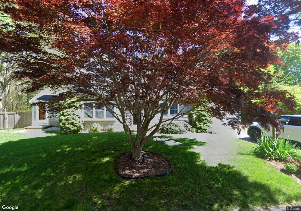
40 Pequod Cir Yarmouth Port, MA 02675
Yarmouth Port NeighborhoodEstimated Value: $606,000 - $753,000
2
Beds
1
Bath
1,201
Sq Ft
$554/Sq Ft
Est. Value
About This Home
This home is located at 40 Pequod Cir, Yarmouth Port, MA 02675 and is currently estimated at $665,304, approximately $553 per square foot. 40 Pequod Cir is a home located in Barnstable County with nearby schools including Dennis-Yarmouth Regional High School.
Ownership History
Date
Name
Owned For
Owner Type
Purchase Details
Closed on
Mar 16, 2009
Sold by
Anderson Eric R and Anderson Kimberly A
Bought by
Anderson Kimberly A
Current Estimated Value
Home Financials for this Owner
Home Financials are based on the most recent Mortgage that was taken out on this home.
Original Mortgage
$225,000
Interest Rate
5.18%
Mortgage Type
Purchase Money Mortgage
Purchase Details
Closed on
Oct 7, 1998
Sold by
Grindell Norris L
Bought by
Anderson Eric R and Anderson Kimberly A
Home Financials for this Owner
Home Financials are based on the most recent Mortgage that was taken out on this home.
Original Mortgage
$97,000
Interest Rate
6.92%
Mortgage Type
Purchase Money Mortgage
Purchase Details
Closed on
Feb 15, 1994
Sold by
Pascale Pauline
Bought by
Grindell Norris L
Create a Home Valuation Report for This Property
The Home Valuation Report is an in-depth analysis detailing your home's value as well as a comparison with similar homes in the area
Home Values in the Area
Average Home Value in this Area
Purchase History
| Date | Buyer | Sale Price | Title Company |
|---|---|---|---|
| Anderson Kimberly A | -- | -- | |
| Anderson Eric R | $105,000 | -- | |
| Grindell Norris L | $92,500 | -- |
Source: Public Records
Mortgage History
| Date | Status | Borrower | Loan Amount |
|---|---|---|---|
| Open | Grindell Norris L | $235,000 | |
| Closed | Anderson Kimberly A | $225,000 | |
| Previous Owner | Grindell Norris L | $200,000 | |
| Previous Owner | Grindell Norris L | $20,000 | |
| Previous Owner | Grindell Norris L | $97,000 |
Source: Public Records
Tax History Compared to Growth
Tax History
| Year | Tax Paid | Tax Assessment Tax Assessment Total Assessment is a certain percentage of the fair market value that is determined by local assessors to be the total taxable value of land and additions on the property. | Land | Improvement |
|---|---|---|---|---|
| 2025 | $4,353 | $614,800 | $140,800 | $474,000 |
| 2024 | $4,233 | $573,600 | $148,400 | $425,200 |
| 2023 | $4,215 | $519,700 | $132,300 | $387,400 |
| 2022 | $3,776 | $411,300 | $119,000 | $292,300 |
| 2021 | $3,696 | $386,600 | $119,000 | $267,600 |
| 2020 | $3,542 | $354,200 | $119,000 | $235,200 |
| 2019 | $3,290 | $325,700 | $119,000 | $206,700 |
| 2018 | $3,125 | $303,700 | $97,000 | $206,700 |
| 2017 | $3,043 | $303,700 | $97,000 | $206,700 |
| 2016 | $2,943 | $294,900 | $88,200 | $206,700 |
| 2015 | $2,825 | $281,400 | $88,200 | $193,200 |
Source: Public Records
Map
Nearby Homes
- 209 Union St
- 32 Deveau Ln
- 882 W Yarmouth Rd
- 933-935 W Yarmouth Rd
- 8 Rowley Ln
- 24 Minnetuxet Way
- 10 Balsam Way
- 50 Cottonwood St
- 1 Barnacle Rd
- 16 Warren Rd Unit 16
- 16 Warren Rd
- 371 Route 6a
- 23 Dauphine Dr
- 17 Trowbridge Path
- 607 W Yarmouth Rd
- 86 Pompano Rd
- 0 Forsyth Ave
- 25 Oak Glen
- 25 Oak Glen Village Unit 25
- 560 W Yarmouth Rd