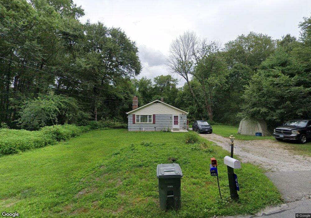
40 Phillips Rd Lisbon, CT 06351
Estimated Value: $297,422 - $332,000
3
Beds
1
Bath
1,260
Sq Ft
$248/Sq Ft
Est. Value
About This Home
This home is located at 40 Phillips Rd, Lisbon, CT 06351 and is currently estimated at $311,856, approximately $247 per square foot. 40 Phillips Rd is a home located in New London County with nearby schools including Lisbon Central School.
Ownership History
Date
Name
Owned For
Owner Type
Purchase Details
Closed on
Apr 16, 2002
Sold by
Dpac Constr Llc
Bought by
Leblanc Gerald P and Leblanc Deborah
Current Estimated Value
Home Financials for this Owner
Home Financials are based on the most recent Mortgage that was taken out on this home.
Original Mortgage
$141,750
Outstanding Balance
$58,888
Interest Rate
6.84%
Estimated Equity
$252,968
Create a Home Valuation Report for This Property
The Home Valuation Report is an in-depth analysis detailing your home's value as well as a comparison with similar homes in the area
Home Values in the Area
Average Home Value in this Area
Purchase History
| Date | Buyer | Sale Price | Title Company |
|---|---|---|---|
| Leblanc Gerald P | $138,000 | -- |
Source: Public Records
Mortgage History
| Date | Status | Borrower | Loan Amount |
|---|---|---|---|
| Open | Leblanc Gerald P | $25,000 | |
| Open | Leblanc Gerald P | $141,750 | |
| Previous Owner | Leblanc Gerald P | $25,500 | |
| Previous Owner | Leblanc Gerald P | $15,939 |
Source: Public Records
Tax History
| Year | Tax Paid | Tax Assessment Tax Assessment Total Assessment is a certain percentage of the fair market value that is determined by local assessors to be the total taxable value of land and additions on the property. | Land | Improvement |
|---|---|---|---|---|
| 2025 | $3,427 | $128,360 | $44,310 | $84,050 |
| 2024 | $3,264 | $128,360 | $44,310 | $84,050 |
| 2023 | $3,007 | $128,360 | $44,310 | $84,050 |
| 2022 | $2,853 | $128,360 | $44,310 | $84,050 |
| 2021 | $2,435 | $104,840 | $46,760 | $58,080 |
| 2020 | $2,435 | $104,840 | $46,760 | $58,080 |
| 2019 | $2,435 | $104,840 | $46,760 | $58,080 |
| 2018 | $2,359 | $104,840 | $46,760 | $58,080 |
| 2017 | $2,359 | $104,840 | $46,760 | $58,080 |
| 2014 | $2,207 | $113,200 | $0 | $0 |
Source: Public Records
Map
Nearby Homes
- 8 Harvest Rd
- 28 Pleasant View Cove
- 181 Kimball Rd
- 20 Mckenna Ave
- 31 Williams St
- 33 Parker Ave
- 42 Russell St
- 7 Parker Ave Unit 3
- 178 E Main St
- 28 Lily Pond Rd
- 83 Mathewson St Unit 85
- 41 S Main St Unit 51
- 41 S Main St Unit 53
- 3 Woodland Ln
- 5 Town House Rd
- 163 Pachaug River Dr
- 11 Lee Rd
- 300 Slater Avenue & 175 Pleasant View Dr
- 249 S Canterbury Rd
- 85 Potash Hill Rd
- 30 Phillips Rd
- 43 Phillips Rd
- 52 Phillips Rd
- 53 Phillips Rd
- 26 Phillips Rd
- 37 Phillips Rd
- 33 Phillips Rd
- 15 Fitch Rd
- 27 Phillips Rd
- 56 Phillips Rd
- 20 Phillips Rd
- 59/69 Phillips Rd
- 17 Phillips Rd
- 64 Phillips Rd
- 386 N Burnham Hwy
- 392 N Burnham Hwy
- 69 Phillips Rd
- 69 Phillips Rd
- 16 Phillips Rd
- 398 N Burnham Hwy
Your Personal Tour Guide
Ask me questions while you tour the home.