40 Pine Ridge Rd Southbridge, MA 01550
Estimated Value: $321,000 - $365,000
3
Beds
2
Baths
1,112
Sq Ft
$309/Sq Ft
Est. Value
About This Home
This home is located at 40 Pine Ridge Rd, Southbridge, MA 01550 and is currently estimated at $344,133, approximately $309 per square foot. 40 Pine Ridge Rd is a home located in Worcester County with nearby schools including Trinity Catholic Academy and ViewPoint Christian Academy.
Ownership History
Date
Name
Owned For
Owner Type
Purchase Details
Closed on
May 6, 2009
Sold by
Metivier Robert
Bought by
Bartoli Paul and Bartoli Marc
Current Estimated Value
Home Financials for this Owner
Home Financials are based on the most recent Mortgage that was taken out on this home.
Original Mortgage
$80,000
Outstanding Balance
$50,246
Interest Rate
4.9%
Mortgage Type
Purchase Money Mortgage
Estimated Equity
$293,887
Create a Home Valuation Report for This Property
The Home Valuation Report is an in-depth analysis detailing your home's value as well as a comparison with similar homes in the area
Home Values in the Area
Average Home Value in this Area
Purchase History
| Date | Buyer | Sale Price | Title Company |
|---|---|---|---|
| Bartoli Paul | $73,000 | -- | |
| Bartoli Paul | $73,000 | -- |
Source: Public Records
Mortgage History
| Date | Status | Borrower | Loan Amount |
|---|---|---|---|
| Open | Bartoli Paul | $80,000 | |
| Closed | Bartoli Paul | $80,000 |
Source: Public Records
Tax History Compared to Growth
Tax History
| Year | Tax Paid | Tax Assessment Tax Assessment Total Assessment is a certain percentage of the fair market value that is determined by local assessors to be the total taxable value of land and additions on the property. | Land | Improvement |
|---|---|---|---|---|
| 2025 | $4,026 | $274,600 | $43,500 | $231,100 |
| 2024 | $3,600 | $235,900 | $36,200 | $199,700 |
| 2023 | $3,456 | $218,200 | $36,200 | $182,000 |
| 2022 | $3,263 | $182,300 | $30,900 | $151,400 |
| 2021 | $3,110 | $160,000 | $30,900 | $129,100 |
| 2020 | $2,978 | $152,900 | $30,900 | $122,000 |
| 2018 | $2,998 | $144,500 | $30,900 | $113,600 |
| 2017 | $2,781 | $135,200 | $30,900 | $104,300 |
| 2016 | $2,732 | $135,200 | $35,500 | $99,700 |
| 2015 | $2,610 | $128,200 | $35,500 | $92,700 |
| 2014 | $2,428 | $123,600 | $35,500 | $88,100 |
Source: Public Records
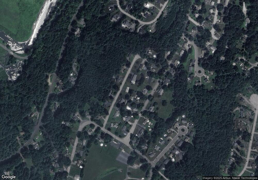
Map
Nearby Homes
- 470 Dennison Dr
- 62 Pine Ridge Rd
- 32 Pine Ridge Rd
- 47 Pine Ridge Rd
- 464 Dennison Dr
- 35 Pine Ridge Rd
- 480 Dennison Dr
- 63 Pine Ridge Rd
- 452 Dennison Dr
- 72 Pine Ridge Rd
- 18 Pine Ridge Rd
- 21 Pine Ridge Rd
- 475 Dennison Dr
- 488 Dennison Dr
- 459 Dennison Dr
- 77 Pine Ridge Rd
- 489 Dennison Dr
- 445 Dennison Dr
- 445 Dennison Dr Unit basement
- 445 Dennison Dr Unit 2