40 Possum Ln Sudbury, MA 01776
Estimated Value: $822,394 - $1,027,000
3
Beds
2
Baths
1,496
Sq Ft
$593/Sq Ft
Est. Value
About This Home
This home is located at 40 Possum Ln, Sudbury, MA 01776 and is currently estimated at $887,849, approximately $593 per square foot. 40 Possum Ln is a home located in Middlesex County with nearby schools including Josiah Haynes Elementary School, Ephraim Curtis Middle School, and Lincoln-Sudbury Regional High School.
Ownership History
Date
Name
Owned For
Owner Type
Purchase Details
Closed on
Apr 13, 2004
Sold by
Puckett Bonnie and Spear Norman F
Bought by
Schlessman Elizabeth W and Schlessman Matthew K
Current Estimated Value
Home Financials for this Owner
Home Financials are based on the most recent Mortgage that was taken out on this home.
Original Mortgage
$333,700
Outstanding Balance
$156,378
Interest Rate
5.6%
Mortgage Type
Purchase Money Mortgage
Estimated Equity
$731,471
Create a Home Valuation Report for This Property
The Home Valuation Report is an in-depth analysis detailing your home's value as well as a comparison with similar homes in the area
Home Values in the Area
Average Home Value in this Area
Purchase History
| Date | Buyer | Sale Price | Title Company |
|---|---|---|---|
| Schlessman Elizabeth W | $440,100 | -- |
Source: Public Records
Mortgage History
| Date | Status | Borrower | Loan Amount |
|---|---|---|---|
| Open | Schlessman Elizabeth W | $333,700 |
Source: Public Records
Tax History Compared to Growth
Tax History
| Year | Tax Paid | Tax Assessment Tax Assessment Total Assessment is a certain percentage of the fair market value that is determined by local assessors to be the total taxable value of land and additions on the property. | Land | Improvement |
|---|---|---|---|---|
| 2025 | $11,444 | $781,700 | $463,400 | $318,300 |
| 2024 | $11,050 | $756,300 | $449,800 | $306,500 |
| 2023 | $11,132 | $705,900 | $416,600 | $289,300 |
| 2022 | $11,030 | $611,100 | $382,200 | $228,900 |
| 2021 | $10,938 | $580,900 | $382,200 | $198,700 |
| 2020 | $10,718 | $580,900 | $382,200 | $198,700 |
| 2019 | $10,404 | $580,900 | $382,200 | $198,700 |
| 2018 | $9,822 | $547,800 | $402,200 | $145,600 |
| 2017 | $9,099 | $512,900 | $397,400 | $115,500 |
| 2016 | $8,649 | $485,900 | $382,200 | $103,700 |
| 2015 | $8,006 | $454,900 | $367,400 | $87,500 |
| 2014 | $7,980 | $442,600 | $356,600 | $86,000 |
Source: Public Records
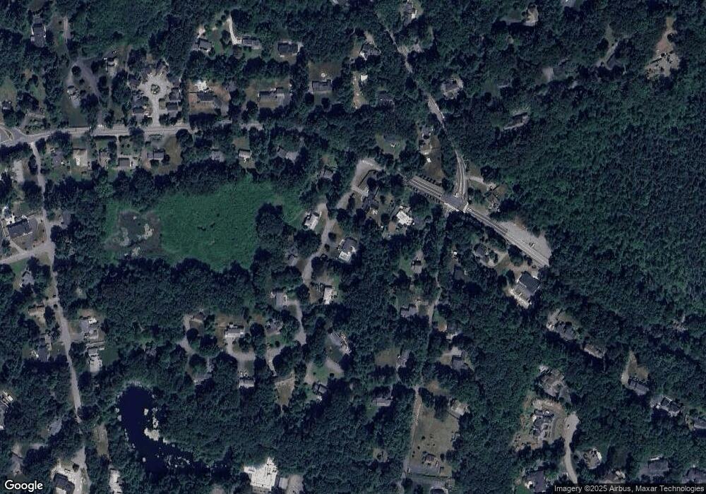
Map
Nearby Homes
- 57 Longfellow Rd
- 67 Powder Mill Rd
- 589 North Rd
- 16 Blacksmith Dr
- 5 Oak Ridge Dr Unit 7
- 10 Oak Ridge Dr Unit 5
- 11 Barnet Rd
- 369 Border Rd
- 42 Dakin Rd
- 250 Great Rd
- 5 Taintor Dr
- 29 Black Birch Ln Unit 29
- 9 Black Birch Ln Unit 9
- 96 Forest Ridge Rd Unit 96
- 5 Hayes St Unit 5
- 15 Arthur St Unit 15
- 13 Arthur St Unit 15
- 22 Garfield Ave
- 28 Waltham St Unit B
- 22-26 Waltham St