40 Potts Point Rd Harpswell, ME 04079
Harpswell Neck NeighborhoodEstimated Value: $595,158 - $846,000
2
Beds
2
Baths
1,150
Sq Ft
$613/Sq Ft
Est. Value
About This Home
This home is located at 40 Potts Point Rd, Harpswell, ME 04079 and is currently estimated at $705,290, approximately $613 per square foot. 40 Potts Point Rd is a home located in Cumberland County with nearby schools including Mt Ararat High School.
Ownership History
Date
Name
Owned For
Owner Type
Purchase Details
Closed on
Aug 6, 2024
Sold by
Irma G Howard Ret and Bank Of America Na Tr
Bought by
Mulcahy Cynthia H
Current Estimated Value
Purchase Details
Closed on
Jul 22, 2024
Sold by
Howard Irma G Est and Bank Of America Na
Bought by
Irma G Howard Ret and Bank Of America Na Tr
Create a Home Valuation Report for This Property
The Home Valuation Report is an in-depth analysis detailing your home's value as well as a comparison with similar homes in the area
Home Values in the Area
Average Home Value in this Area
Purchase History
| Date | Buyer | Sale Price | Title Company |
|---|---|---|---|
| Mulcahy Cynthia H | -- | None Available | |
| Mulcahy Cynthia H | -- | None Available | |
| Irma G Howard Ret | -- | None Available | |
| Irma G Howard Ret | -- | None Available |
Source: Public Records
Tax History Compared to Growth
Tax History
| Year | Tax Paid | Tax Assessment Tax Assessment Total Assessment is a certain percentage of the fair market value that is determined by local assessors to be the total taxable value of land and additions on the property. | Land | Improvement |
|---|---|---|---|---|
| 2024 | $2,528 | $397,500 | $270,000 | $127,500 |
| 2023 | $2,425 | $397,500 | $270,000 | $127,500 |
| 2022 | $2,345 | $397,500 | $270,000 | $127,500 |
| 2021 | $2,619 | $387,400 | $281,200 | $106,200 |
| 2020 | $2,611 | $387,400 | $281,200 | $106,200 |
| 2019 | $2,596 | $387,400 | $281,200 | $106,200 |
| 2018 | $2,510 | $387,400 | $281,200 | $106,200 |
| 2017 | $0 | $387,400 | $281,200 | $106,200 |
| 2016 | $0 | $387,400 | $281,200 | $106,200 |
| 2015 | $2,417 | $387,400 | $281,200 | $106,200 |
| 2013 | $2,239 | $387,400 | $281,200 | $106,200 |
Source: Public Records
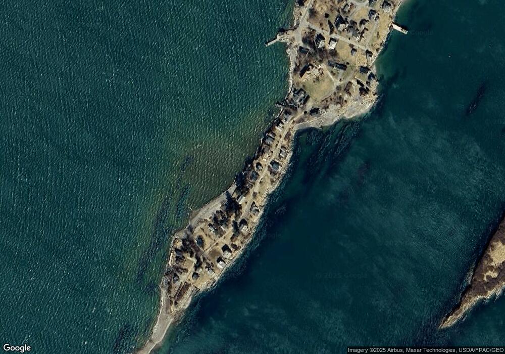
Map
Nearby Homes
- 10 S Colony Branch Rd
- 8 & 2 Kane Ln
- 6 Kane Ln
- 19 Hugh Ave
- 20 Spruce Ledge Rd
- 18 Ash Point Rd
- 10 Irene Ave
- 16 Ash Point Rd Unit 16
- 30 Osbourne Row
- 1450 Harpswell Neck Rd
- 87 Lowells Cove Rd
- 1689 Harpswell Islands Rd
- 1 Mallard Pond Rd
- 41 Spruce Brook Dr
- Lot 2 Buxhill Blvd
- 0 Bayview Rd Unit 2 1632776
- Lot 2A Allen Point Rd
- Lot 2B Allen Point Rd
- 471 South Rd Unit A
- 471 South Rd Unit B
- 38 Potts Point Rd
- 0 Potts Point Rd
- 35 Potts Point Rd
- 34 Potts Point Rd
- 46 Potts Point Rd
- 47 Potts Point Rd
- 31 Potts Point Rd
- 30 Potts Point Rd
- 51 Potts Point Rd
- 28 Potts Point Rd
- 53 Potts Point Rd
- 26 Potts Point Rd
- 56 Pott's Point Rd
- 57 Potts Point Rd
- 19 Potts Point Rd
- 60 Potts Point Rd
- 22 Potts Point Rd
- 59 Potts Point Rd
- 61 Potts Point Rd
- 66 Potts Point Rd