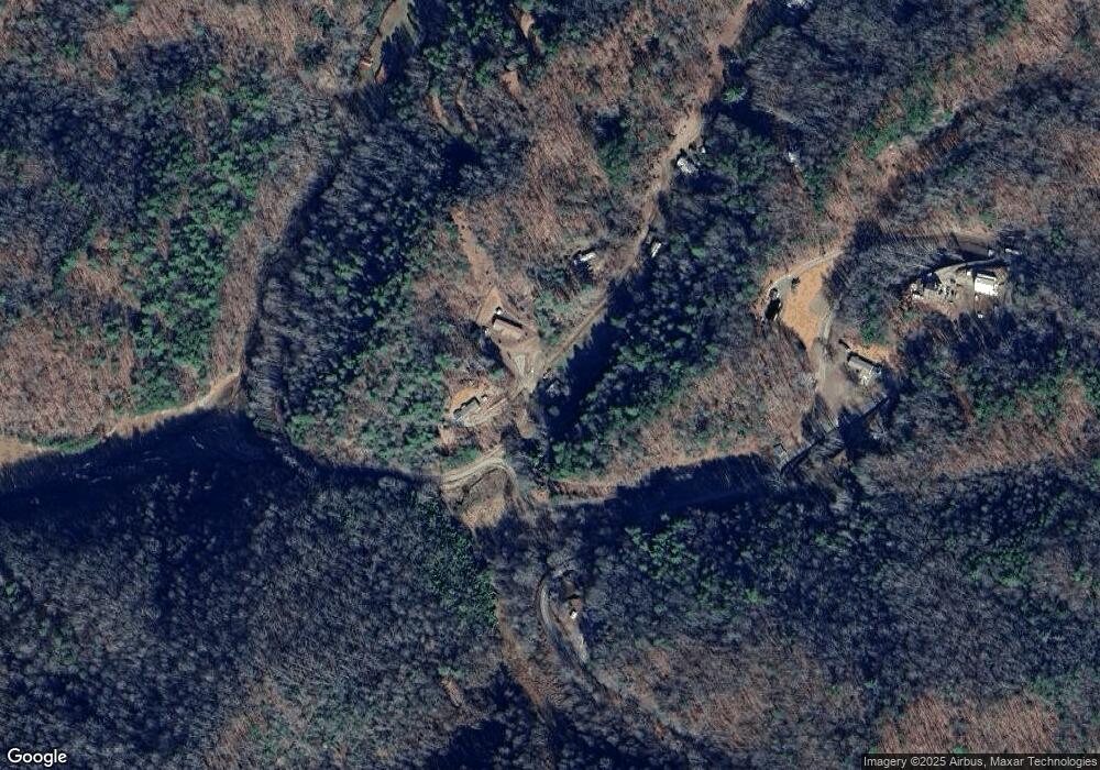
40 R P Stephenson Dr Bryson City, NC 28713
Estimated Value: $95,993 - $241,000
3
Beds
1
Bath
1,116
Sq Ft
$150/Sq Ft
Est. Value
About This Home
This home is located at 40 R P Stephenson Dr, Bryson City, NC 28713 and is currently estimated at $167,748, approximately $150 per square foot. 40 R P Stephenson Dr is a home located in Swain County with nearby schools including Swain County Middle School, Swain County West Elementary School, and Swain County High School.
Ownership History
Date
Name
Owned For
Owner Type
Purchase Details
Closed on
Jun 27, 2021
Sold by
Stites Robert Lee
Bought by
Garlock Edward
Current Estimated Value
Home Financials for this Owner
Home Financials are based on the most recent Mortgage that was taken out on this home.
Original Mortgage
$58,500
Outstanding Balance
$53,080
Interest Rate
2.9%
Mortgage Type
New Conventional
Estimated Equity
$114,668
Create a Home Valuation Report for This Property
The Home Valuation Report is an in-depth analysis detailing your home's value as well as a comparison with similar homes in the area
Home Values in the Area
Average Home Value in this Area
Purchase History
| Date | Buyer | Sale Price | Title Company |
|---|---|---|---|
| Garlock Edward | $65,000 | None Available |
Source: Public Records
Mortgage History
| Date | Status | Borrower | Loan Amount |
|---|---|---|---|
| Open | Garlock Edward | $58,500 |
Source: Public Records
Tax History Compared to Growth
Tax History
| Year | Tax Paid | Tax Assessment Tax Assessment Total Assessment is a certain percentage of the fair market value that is determined by local assessors to be the total taxable value of land and additions on the property. | Land | Improvement |
|---|---|---|---|---|
| 2025 | $395 | $68,230 | $6,840 | $61,390 |
| 2024 | $395 | $68,230 | $6,840 | $61,390 |
| 2023 | $361 | $68,230 | $6,840 | $61,390 |
| 2022 | $361 | $68,230 | $6,840 | $61,390 |
| 2021 | $361 | $68,230 | $0 | $0 |
| 2020 | $181 | $29,530 | $6,580 | $22,950 |
| 2019 | $181 | $29,530 | $6,580 | $22,950 |
| 2018 | $181 | $29,530 | $6,580 | $22,950 |
| 2017 | $181 | $29,530 | $6,580 | $22,950 |
| 2016 | $181 | $29,530 | $6,580 | $22,950 |
| 2015 | -- | $29,530 | $6,580 | $22,950 |
| 2014 | -- | $29,530 | $6,580 | $22,950 |
Source: Public Records
Map
Nearby Homes
- 116 R P Stephenson Dr
- 6541 Grassy Branch Rd
- 77 Nash Trail
- Lot 8 Blackberry Hill
- 139 Forest Hills Rd
- Lot 22 Rustys Ridge
- 0 Rustys Ridge
- 0 Rusty's Ridge Rd
- Lot 22 Rusty's Ridge Rd
- 00 Grassy Branch Rd
- 10 Ridge Place
- 68-3 Sunset View Ridge
- 275 Conard Cir
- 3.32 AC Mountainside Dr
- 100-11 Ridgeview Rd
- 999 Mountainside Dr
- 9999 Mountainside Dr
- Lt 108-3 Rocky Bluff Dr
- Lot 72 Bobcat
- 216 Alarka Point
- 37 R P Stephenson Dr
- 0000 Stephenson Branch Rd
- 0 Stephenson Branch Rd
- 1033 Stephenson Branch Rd
- 808 Stephenson Branch Rd
- 180 R P Stephenson Dr
- 180 Dallas Stephensen Rd
- 1430 Stephenson Branch Rd
- 620 Stephenson Branch Rd
- 520 Caney Branch Rd
- 2701 Stephenson Branch Rd
- 344 Caney Branch Rd
- 460 Caney Branch Rd
- 770 Caney Branch Rd
- 245 Stephenson Branch Rd
- 30 Stephenson Branch Rd
- 520 Weshouse Cove
- 520 Weshouse Cove
- 520 Weshouse Cove
- 279 Oliver Dr S
